D Charts
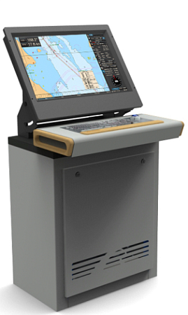
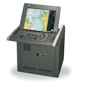
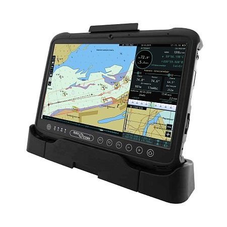
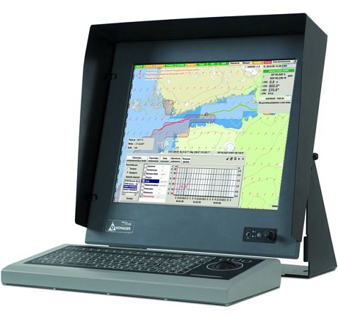
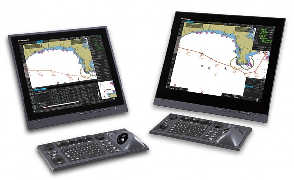
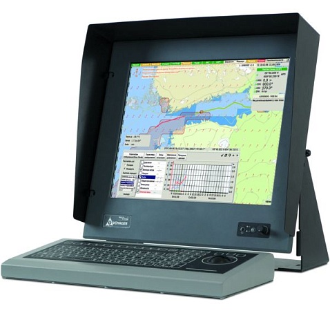
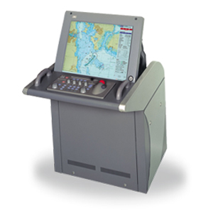
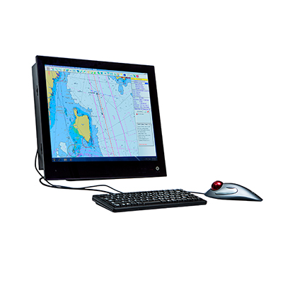
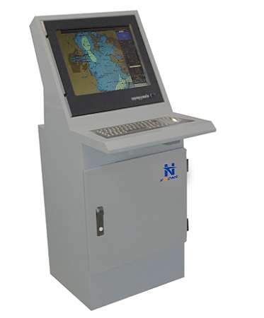
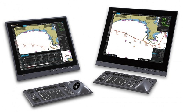
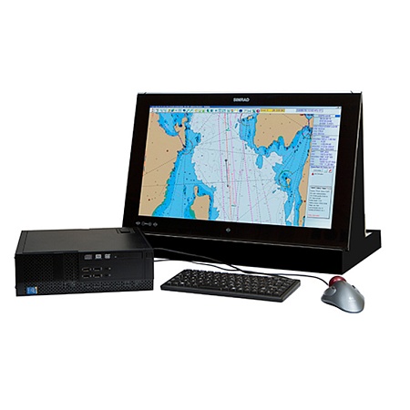
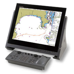
ECDIS (ECS) - a core and an integrating center of the navigation bridge. Electronic mapping system occupy a stronger position in the modern navigational. They quickly and accurately solve almost all navigational tasks, help to effectively assess their environment, therefore, increase the safety of navigation.
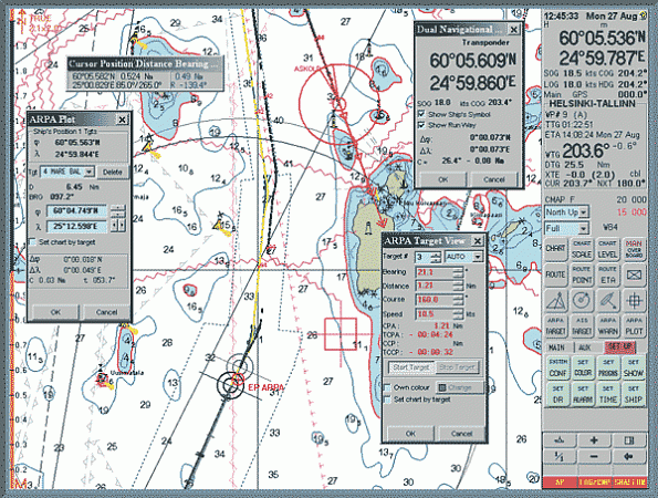
In addition to the electronic chart display ECDIS is a continuous gasket way, automatically controls the navigation for a given route, displays the current vessel's position, radar targets, losing maneuver gives control commands to run on autopilot pre-laid and proven route.
In accordance with the requirements of rule 19 of Chapter V of SOLAS, each vessel must be nautical charts and nautical publications to plan and display the ship route for the intended voyage and the exercise of executive pads. It was noted that the ECDIS can be used to meet this requirement. Thus, ECDIS - the legal equivalent of paper nautical charts.
Dates ECDIS equipment of ships engaged in international voyages
New standards for ECDIS system
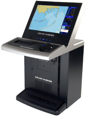
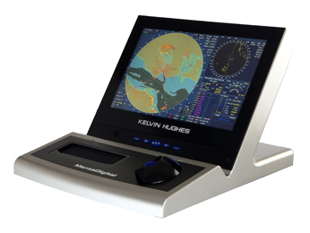
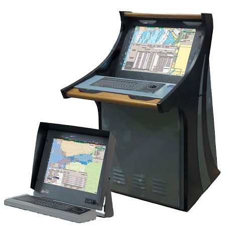
Types of ECDIS
 +7 (812) 4-673-673
