 +7 (812) 4-673-673
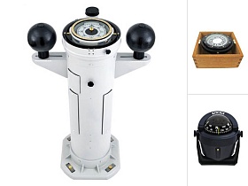
Navigation
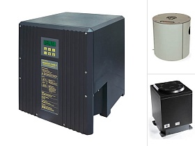
VDR/SVDR
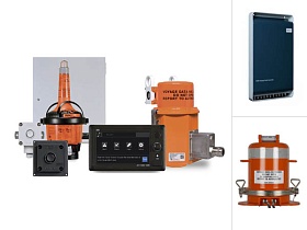
Similar to the black boxes carried on aircraft, marine VDRs enable accident investigators to review procedures, instructions and communications in the moments before an incident and help to identify the cause of any accident.
Our company is certified and approved to perform inspections of black boxes with certificates APT and COC. Read more >>>
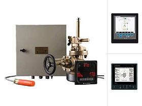
Supply of navigation equipment, maintenance, repairs and annual inspections of marine navigation equipment.
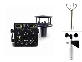
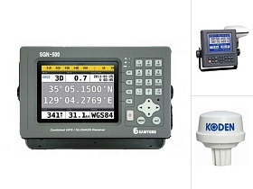
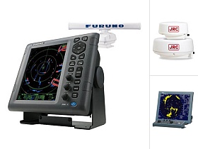
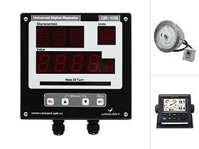
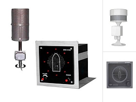
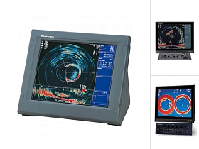
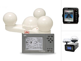
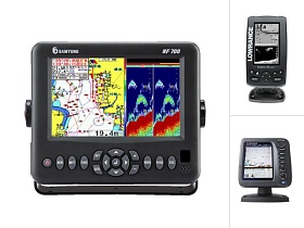
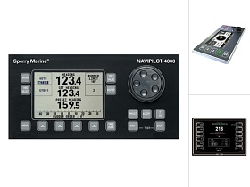
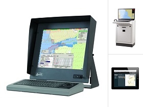
Modern navigation makes very high demands on the safety of crews and passengers on ships, as well as for the safe transportation of goods. For this modern ships compulsorily equipped with means of improving safety, such as mapping, radar, AIS, course guidance means, coordinates, speed measurement, etc.
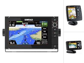
What equipment is required to install on a ship on the requirements of PMPC
Modern navigation makes very high demands on the safety of crews and passengers on ships, as well as for the safe transportation of goods. For this modern ships compulsorily equipped with means of improving safety, such as mapping, radar, AIS, course guidance means, coordinates, speed measurement, etc.
What equipment is required to install on a ship on the requirements of PMPC