Jeppesen C-Map
Jeppesen C-Map
To order
Call our sales manager
Documentation
Брошюра 'Jeppesen C-Map Catalog'
Брошюра 'Jeppesen C-Map Open ENC'
Брошюра 'Jeppesen C-Map Open ENC'
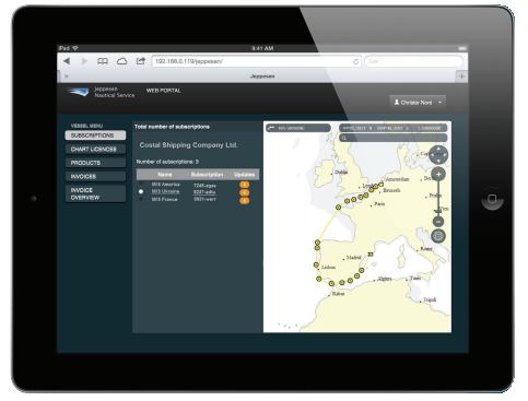
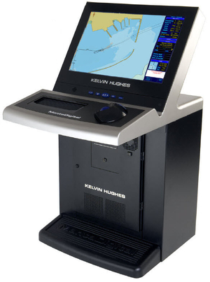
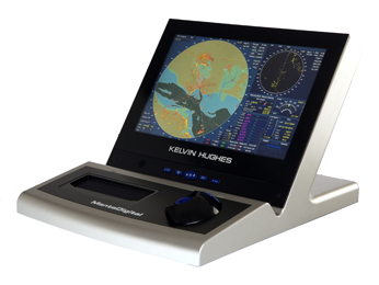
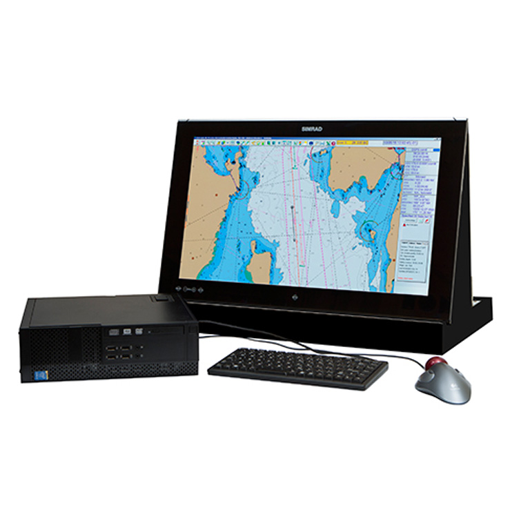
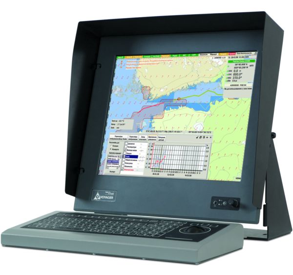
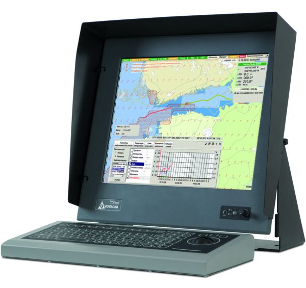
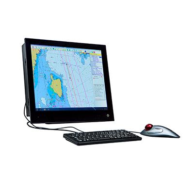
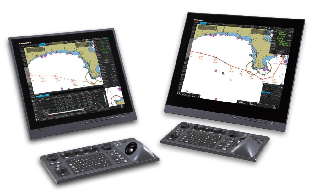
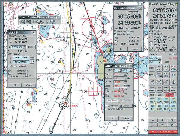
Jeppesen C-Map is an advanced electronic mapping system designed to provide the highest level of accuracy and detail of navigation data on ships. Developed by Jeppesen, which is part of Boeing, the C-Map system is known for its reliability and innovative capabilities, making it an ideal choice for professional sailors and shipowners.
The main features of Jeppesen C-Map:
The main features of Jeppesen C-Map:
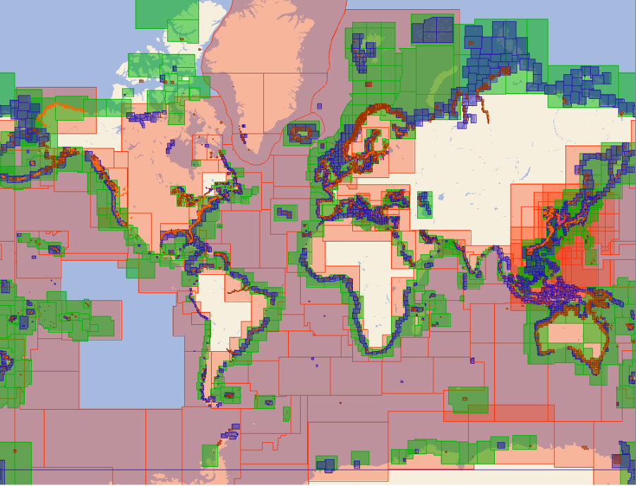
- Extensive Map database: The system provides access to an extensive database of maps covering almost all waterways of the world. This provides users with continuous and accurate access to the necessary navigation data, regardless of the route.
- Real-time updates: Jeppesen C-Map offers the ability to receive real-time updates, which allows the ship's crew to be aware of the latest changes in the navigation environment, including new hazards and changes in sea routes.
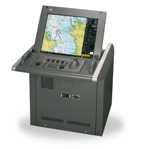
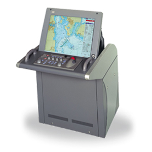
- Integration with other systems: The system is easily integrated with other navigation and shipboard systems such as ECDIS, GPS and AIS, providing a higher level of coordination and safety on the ship.
- User Interface: Jeppesen C-Map is equipped with an intuitive user interface that simplifies navigation and management of cartographic data, making it accessible to users with different levels of training.
- Support and Service: Jeppesen offers extensive support and service for its products, including training, technical support and regular updates, which ensures long-term efficiency and reliability of the system.
- Jeppesen C-Map is not just an electronic mapping system, it is a comprehensive tool that helps ship crews safely and efficiently manage their ships in an ever—changing global ocean environment.
Analogues
 +7 (812) 4-673-673
