 +7 (812) 4-673-673
PRIMAR Electronic Navigation Charts (ENC)
")
")
Primar cartography is a unified database of electronic navigation maps (ENCs) with a convenient catalog.
The PRIMAR map collection includes six types of maps: survey, general, coastal, approaches, harbors and marinas.
Each type is designed for specific navigation tasks and provides the right level of detail for a specific navigation area.
The PRIMAR map catalog is available online and features an easy-to-use interface. Its functional tools allow you to efficiently create orders for cards.
Catalog is accessed through the PRIMAR website, which offers the following features:
Instructions for compiling a list of electronic maps:
The PRIMAR map collection includes six types of maps: survey, general, coastal, approaches, harbors and marinas.
Each type is designed for specific navigation tasks and provides the right level of detail for a specific navigation area.
The PRIMAR map catalog is available online and features an easy-to-use interface. Its functional tools allow you to efficiently create orders for cards.
Catalog is accessed through the PRIMAR website, which offers the following features:
- Visualization of the global coverage of nautical charts with the option to select a specific region and level of detail.
- The ability to highlight or hide certain cards to simplify the selection process.
- Providing concise information about the map, including a simplified image of the coverage area.
- Search for maps by name.
- Create a selection of maps individually, by region or route.
- Saving and exporting selected maps for ordering.
- Uploading and displaying the user's personal collection of maps.
Instructions for compiling a list of electronic maps:
- Open the PRIMAR website at the link where a world map with ENC coverage areas is displayed. Make sure that the "ENC coverage" option is selected in the lower left corner.
- On the right side of the screen, go to the "ENC" section.
- In the panel that appears at the top, select "Select ENC's based on a route".
- Use the cursor to plot a route between ports. All maps covering the route can be added to the cart. The width of the route and, accordingly, the number of included maps can be adjusted using the "Route buffer" slider.
- To complete the route, click on the last point.
- In the window that appears, after activating the route laying function, click on the basket icon ("ADD route selection to basket") to add all route maps to the basket. You can view the maps by selecting "ENC Coverage by Usagebands".
- To download maps in Excel format, go to the tab with the basket image in the right panel.
- Click "SAVE", select the format an
Analogues
-
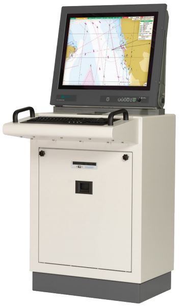
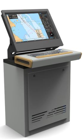
ECDIS DM800
-

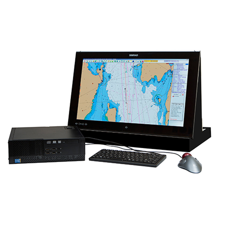
NavCom Voyager
-
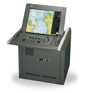
JAN-901B
-
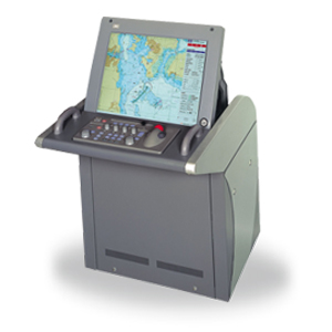
JAN-701B
-
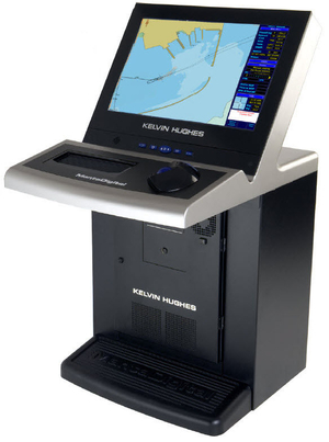
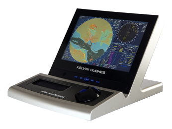
MANTADIGITAL ECDIS 22' DISPLAY
-
MANTADIGITAL ECDIS 26' DISPLAY
-
MARIS ECDIS900 МК5
-
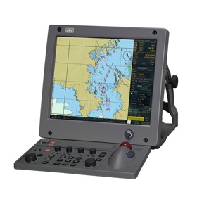
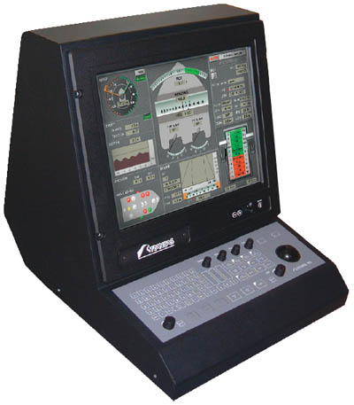
JRC NDC-2000
-
Transas ECDIS 270 24VDC, Panel PC
-

Navi-Sailor 270 ECDIS
-
Navi-Sailor 4000 ECDIS BOX
-
The display system Navi-CONNING 4000
-
FEA-2107
-
Simrad MARIS ECDIS900 MK15
-

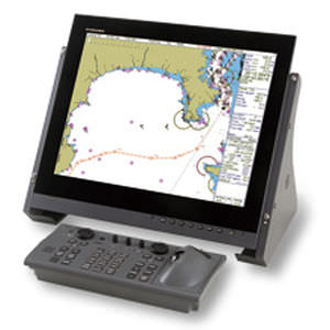
FMD-3200/3000
-
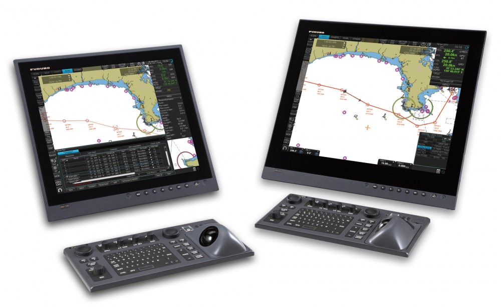
ECDIS FMD-3100 Furuno
-

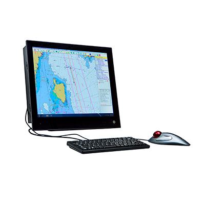
Transas iSailor
-
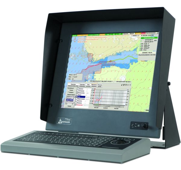
dKart Navigator
-
NavCom Voyager SB/MB