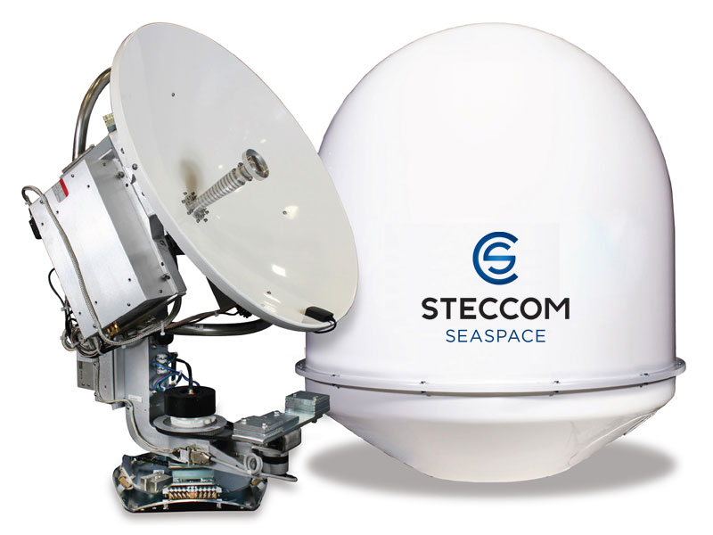
Терминал VSAT KU-band KNS Z7 MK4
Терминал VSAT KU-band KNS Z7 MK4
To order
Call our sales manager
Documentation
Brochure VSAT KU-band KNS Z7 MK4
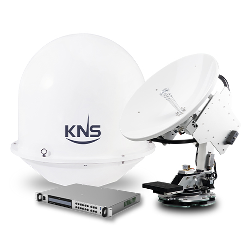
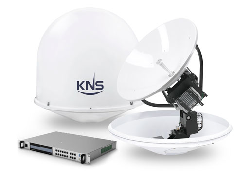
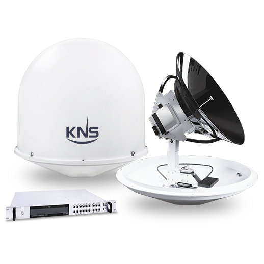
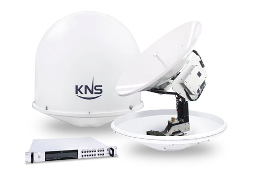
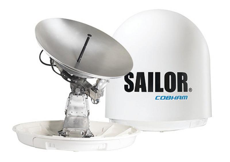
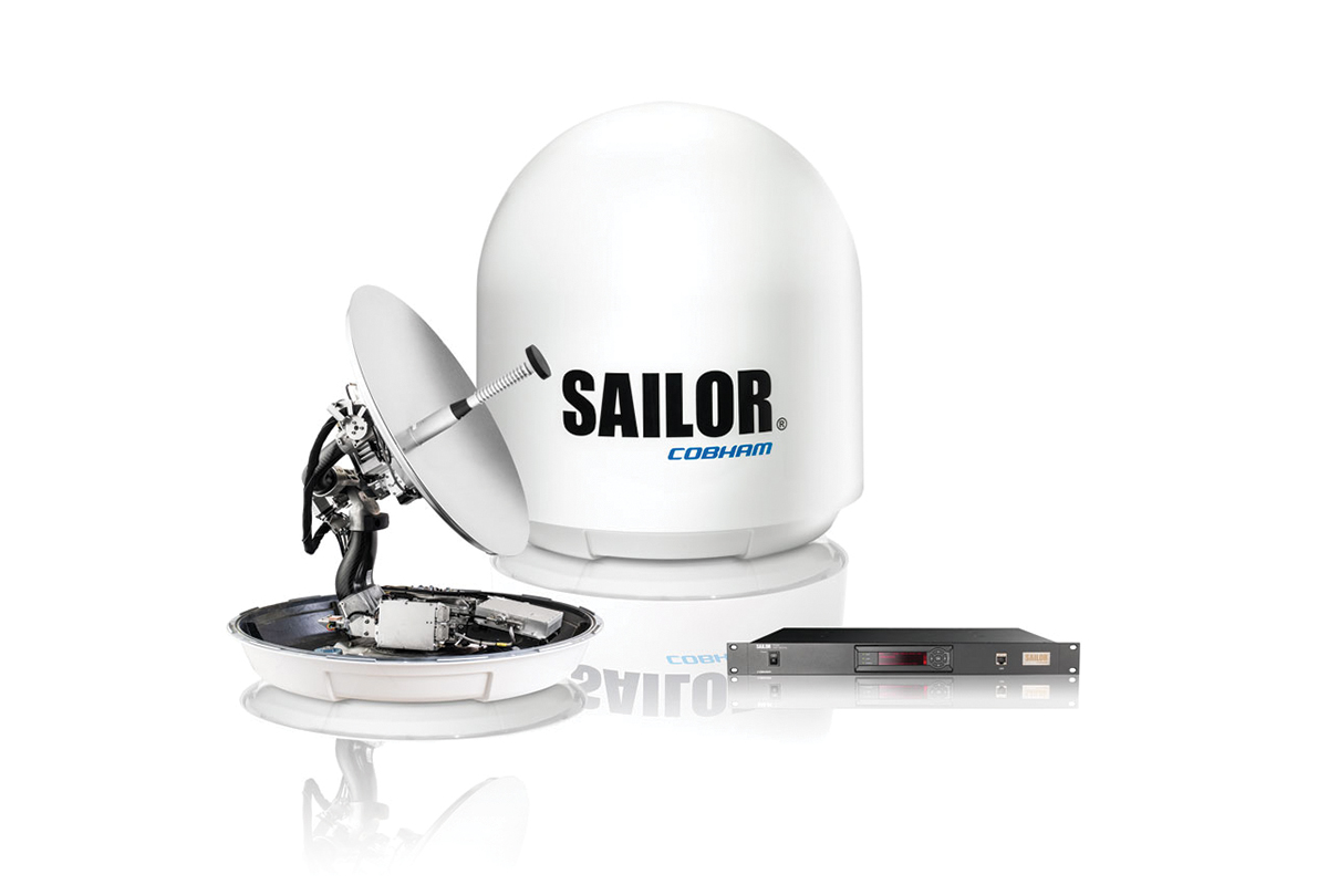
Terminal VSAT KU-band KNS Z7 MK4 for broadband communications at sea. The entire design of the Z Mk4 antenna system has been updated, including mechanical, electrical and RF parts, with the addition of new convenient features.
KNS Z-series MK4 is DVB-S2X compatible with built-in NIM tuner, which allows the carrier SNR (signal noise level tracking) to be monitored directly.
Antenna signal strength or RSSD can be monitored via the web interface via a PC and other wireless devices such as tablet PC and mobile phone.
ACU can be controlled via Wi-Fi interface.
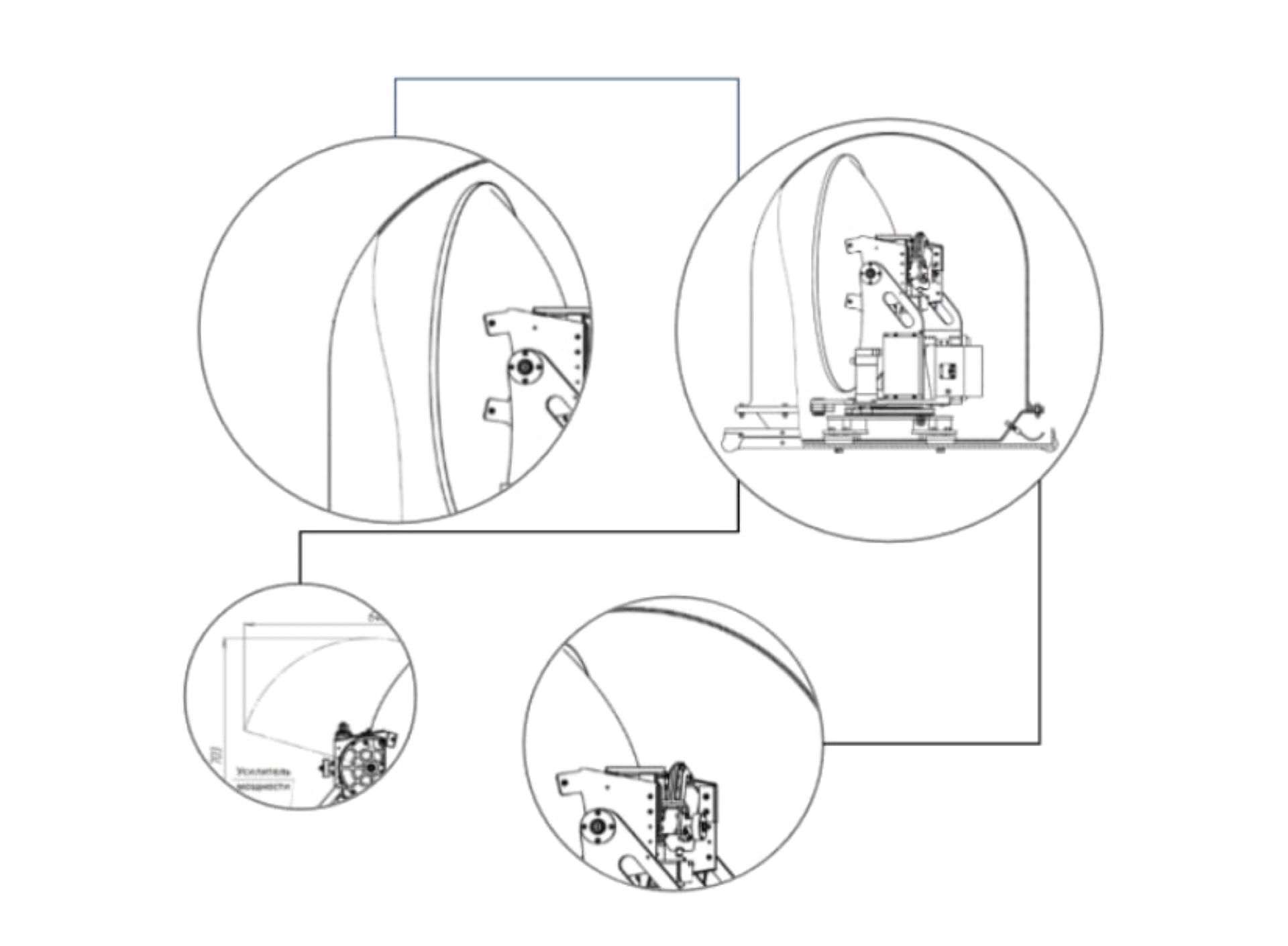
All electrical controls are combined into one "PCU" module for quick and easy maintenance.
The antenna diameter is 75 cm (30 inches) and the antenna power is 8W. Terminal VSAT KU-band KNS Z7 MK2 is perfect for small commercial and pleasure craft.
Thanks to high-speed Internet access, pointing accuracy and continuous signal reception, you can always stay connected.
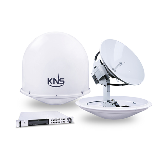
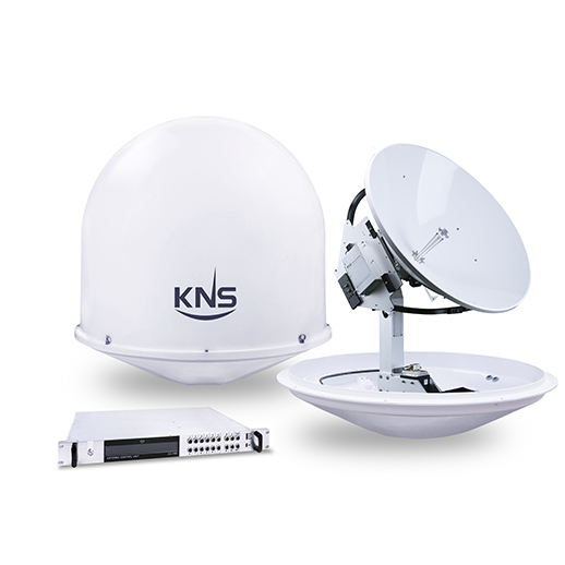
The standard kit includes VSAT KU-band KNS Z7 MK4:
Dish diameter: 75 cm (30 inches)
Antenna size: 102 cm (L) x 104 cm (H)
Antenna weight: 70kg Radome
material: FRP
TX frequency: 13.75 ~ 14.5 GHz; RX: 10.7 ~ 12.75 GHz
Antenna Gain: TX: 39.1 dBi at 14.25 GHz; RX:
37.5dBi at 11.75GHz LNB: (4LO Selectable PLL LNB)
BUC:
8W Elevation Angle: -10 + to + 110˚
Lateral Angle: ± 35˚
Tracking Speed: More than 90 сек / sec
Temperature: -20 to +55 ° C
Humidity: Up to 100% at 40 ° C Antenna
input power: 48 VDC, 4.18 A
KNS Z-series MK4 is DVB-S2X compatible with built-in NIM tuner, which allows the carrier SNR (signal noise level tracking) to be monitored directly.
Antenna signal strength or RSSD can be monitored via the web interface via a PC and other wireless devices such as tablet PC and mobile phone.
ACU can be controlled via Wi-Fi interface.
All electrical controls are combined into one "PCU" module for quick and easy maintenance.
The antenna diameter is 75 cm (30 inches) and the antenna power is 8W. Terminal VSAT KU-band KNS Z7 MK2 is perfect for small commercial and pleasure craft.
Thanks to high-speed Internet access, pointing accuracy and continuous signal reception, you can always stay connected.
The standard kit includes VSAT KU-band KNS Z7 MK4:
- Antenna, antenna pedestal, built-in controller
- Antenna system controller 19 "
- Locking system
- Antenna dome
- Installation Tool Kit
- Multi-band low-noise LNA frequency converter Ku band univers. -Q-PLL 128210-60
- 8W Ext Ku Band BUC (13.75-14.5 GHz)
- Universal / standard transmitting amplifier-converter (transmitter), model NJT8318
Dish diameter: 75 cm (30 inches)
Antenna size: 102 cm (L) x 104 cm (H)
Antenna weight: 70kg Radome
material: FRP
TX frequency: 13.75 ~ 14.5 GHz; RX: 10.7 ~ 12.75 GHz
Antenna Gain: TX: 39.1 dBi at 14.25 GHz; RX:
37.5dBi at 11.75GHz LNB: (4LO Selectable PLL LNB)
BUC:
8W Elevation Angle: -10 + to + 110˚
Lateral Angle: ± 35˚
Tracking Speed: More than 90 сек / sec
Temperature: -20 to +55 ° C
Humidity: Up to 100% at 40 ° C Antenna
input power: 48 VDC, 4.18 A
Analogues
 +7 (812) 4-673-673
