SIMRAD HALO 3
SIMRAD HALO 3
To order
Call our sales manager
Installation Manual SIMRAD HALO type
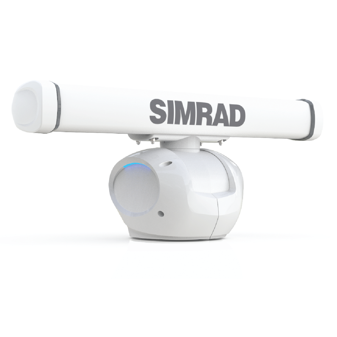
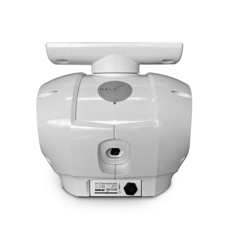
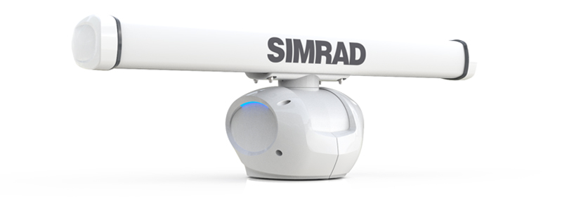
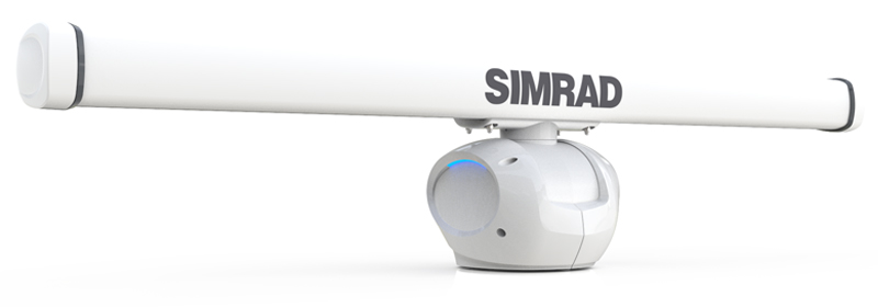
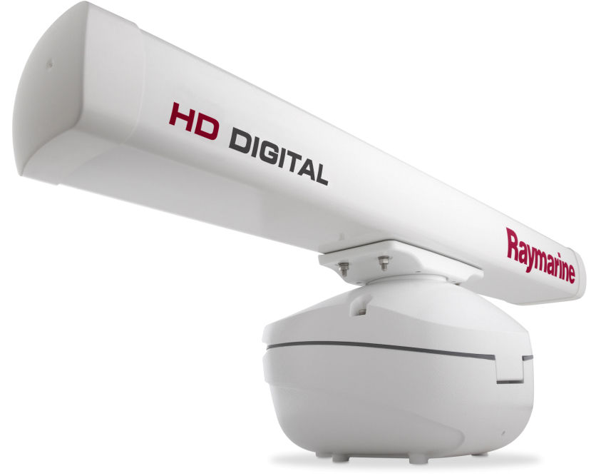
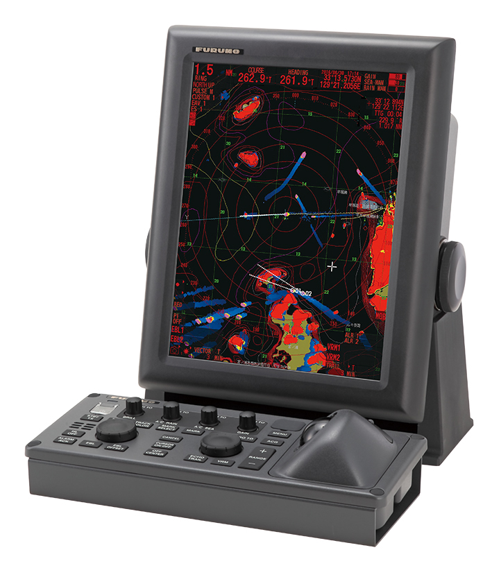
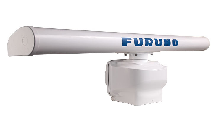
SIMRAD HALO 3- three-foot radar antenna of open type. It is designed specifically for small commercial vessels and pleasure yachts, boats. The device is characterized by excellent indicators of detection of small and remote targets at distances up to 48 nautical miles with minimal amount of side noise, and also low level of radiation that allows using this model in places where ships are crowded (at anchorages, berths and others). The device uses the beam sharpening technology, which ensures a clear and qualitative separation of targets. HALO 3 RADAR has an antenna radiation angle of 2.4 °. The antenna is equipped with the built-in InstantOn ™ function, which will allow you to quickly perform a cold start (in just 16-25 seconds), and the use of solid-state technology promotes rapid warming up from a cold start, without losing performance. Thanks to the built-in Ethernet interface, the radar is easily integrated into the navigation system created on the ship.
- Range up to 48 nautical miles
- Antenna of open type 3 feet in length
- Beam Sharpening Technology
- Controlling the separation of objects
- Dual working range
- Can be used with multifunction displays SIMRAD series NSS, NSO
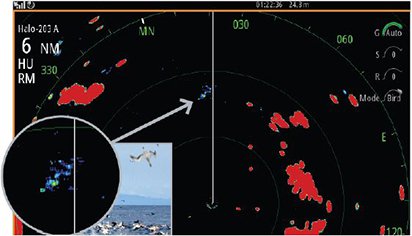
- Innovative signal processing in Harbour, Offshore, Weather, Bird and Custom modes
- Antenna speed is 48 rpm
- InstantOn ™ feature
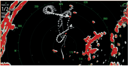
- Function MARPA tracking purposes: up to 10 (20 with a dual range)
- Power supply from 12 or 24 V on-board network
- Built-in Ethernet interface
- Unique LED-backlight (blue) with brightness adjustment
- Low power consumption
- Low electromagnetic radiation
Specifications:
- Cable length: 20m / 10m (optional)
- Technology: X-band transmitter and radar compression technology
- Target detection range: 91.5m to 48 nautical miles
- Max. output power: 25W ± 10% for any transmission condition (up to 10% at maximum speed)
- Safe Radiation Distance: 100W / m2
- Humidity: at + 40 ° C - 93%
- Operating temperature range: -25 ° to + 55 ° C
- Waterproof: IPX6
- Dimensions (WxH), mm: 1,068 × 448
- Weight: 26.8 kg (without package); 18.75 kg (base); 4.1 kg (antenna); 1.6 kg (RI-12); 2.3 kg (cable, 20 m)
- Power consumption: 150W (max with wind speed 70 knots), 40W (with average wind speed), 6.5W (standby mode)
- Supply voltage of the on-board network: 12/24 (min-max: 10.8 - 31.2) DC
- The horizontal width of the beam: 2.4 ° ± 10% (-3 dB width), 2.1 / 1.9 / 1.6 ° with the active mode Beam Sharpening
- Beam width in vertical: 25 ° + 20% (-3 dB width)
- Noise factor: 5 dB
- Antenna rotation speed: 24-48ppm (at least 20ppm at a wind speed of 70 knots)
- Vibration level: 2-100Hz and 20G, 100,000 revolutions
- Operating frequency of the radar - X-Band: 9.410-9.495GHz
- Ethernet: 10/100 BaseT, NMEA2000 / NMEA0183
- Pulse length: 0.04 microseconds
- Chirp pulse length: 2-96 microseconds
- Chirp frequency range: 2-32MHz
Analogues
 +7 (812) 4-673-673
