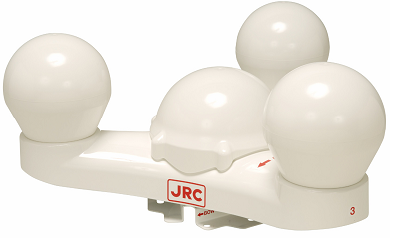
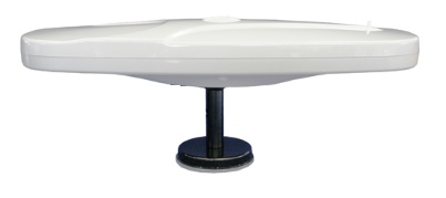
SCX-21
-
Available for order
-
Certificate:РМРС
SCX-21
To order
Call our sales manager
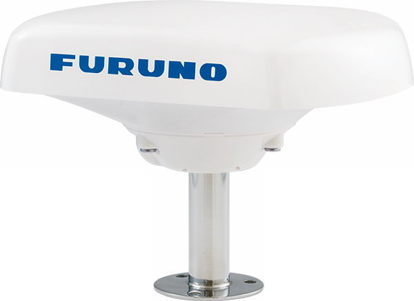
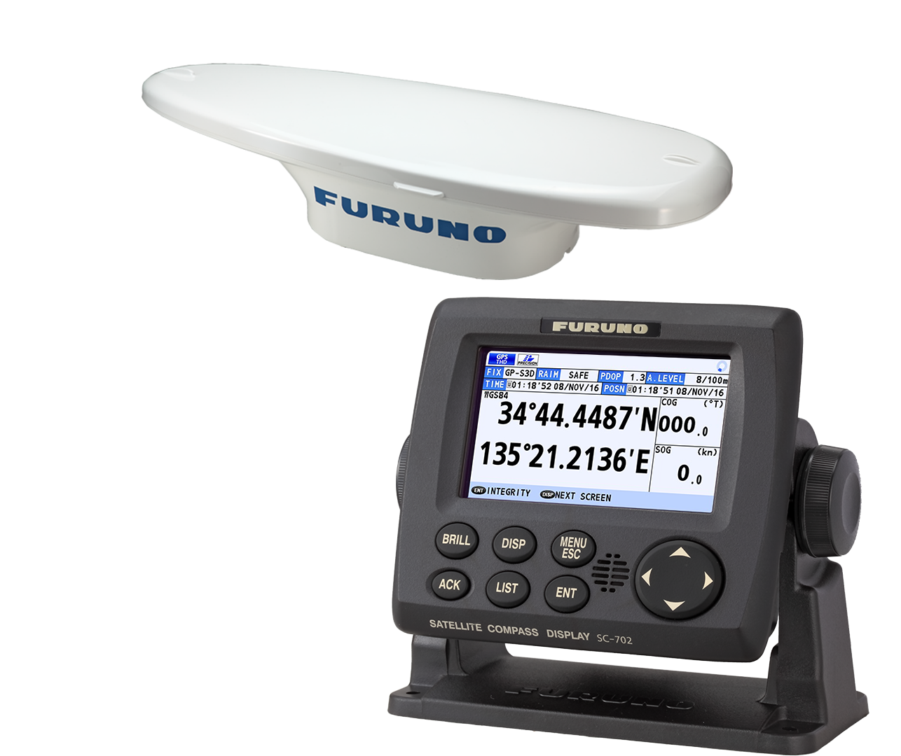
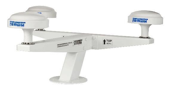
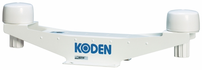
The SCX-21 satellite compass transmits high-precision data in the NMEA2000 format for all ship equipment. The use of four GNSS antennas (GPS/Galileo/QZSS/SBAS and GLONASS) provides extremely accurate determination of the ship's course, as well as the angles of keel, side and vertical pitching. The SCX-21 is ideal for difficult installation conditions where there may be interference in the satellite's field of view. The compass is designed for easy installation and can be installed almost anywhere on the ship, providing maximum flexibility in its placement.
SCX-21 satellite compasses enhance the efficiency of marine equipment such as radar, fish finder sonars, sonar and steering, providing reliable and stable data display even in high seas. This allows the ship's operators to make more informed decisions, increasing safety and accuracy of navigation.
When connecting the SCX-21 to the Furuno radar station, it is possible to display true echo signals, which helps to monitor the movement of both your own vessel and others. Accurate speed and course data ensure correct display of target tracks without interruption and distortion. Information about keel and side pitching allows Furuno sonars to display a stable image on the screen even in stormy weather, which significantly improves visibility and reduces the risk of collisions.
Technical specifications:
Frequency:
- 1575.42 MHz (GPS/Galileo/QZSS/SBAS)
- 1602.5625 MHz (GLONASS)
- C/A (GPS/QZSS/SBAS), E1B (Galileo), L1OF (GLONASS)
Accuracy:
- Course/keel and side pitching: 1.0 standard deviation (static), 0.5 standard deviation (dynamic)
- Tracking speed: 45/s
- Initialization time: 60 seconds
- GPS: 5 m (2 drms, HDOP< 4)
- MSAS: 4 m (2 drms, HDOP< 4)
- WAAS: 3 m (2 drms, HDOP< 4)
Operating temperature:
- -25C to +55C
- 12-24V DC, 0.2-0.1A
Analogues
 +7 (812) 4-673-673
