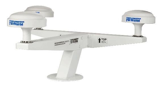
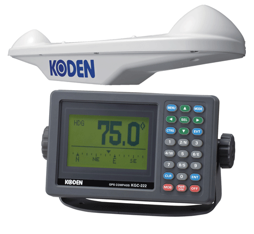
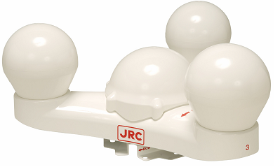
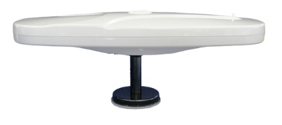
FARVATER PK-2306
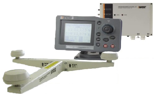
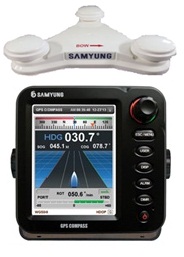
The FAIRWAY RK-2306 is a remote course transmission device based on GNSS GPS/GLONASS technologies designed for marine and river vessels. It provides the determination of the vessel's location and the transmission of this data to other navigation devices. The PK-2306 FAIRWAY is equipped with a graphic LCD display with backlight and brightness adjustment, which makes it convenient to use at any time of the day. The device supports connection to other navigation systems via the NMEA-0183 protocol (IEC 61162).
To ensure stable operation of the device, it is necessary to have at least 4 satellites of the same system or 2 GPS satellites and 3 GLONASS satellites. The RK-2306 FAIRWAY is equipped with a 24-channel receiver that processes signals from satellite navigation systems. The compass complies with IMO requirements and has a certificate of approval from the Russian Maritime Register of Shipping.
The main features of the FAIRWAY RK-2306 include high accuracy, reliability and compatibility with various navigation systems.
Technical specifications:
- Frequency: 1595-1610 MHz (CT code L1), 1575.42 MHz (C/A code L1)
- Course accuracy: 0.2 per 1 m base
- DGPS input: RTCM SC-104 ver2.0 type 1, 2, 7, 9
- SBAS Receiver: Built-in (WAAS, EGNOS, MSAS)
- Display: LCD 128 x 100 pixels
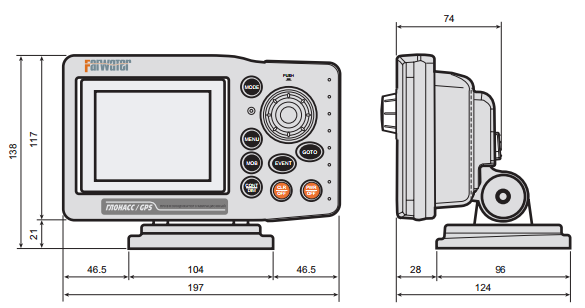
- Dimensions: 310 x 224 x 78 mm
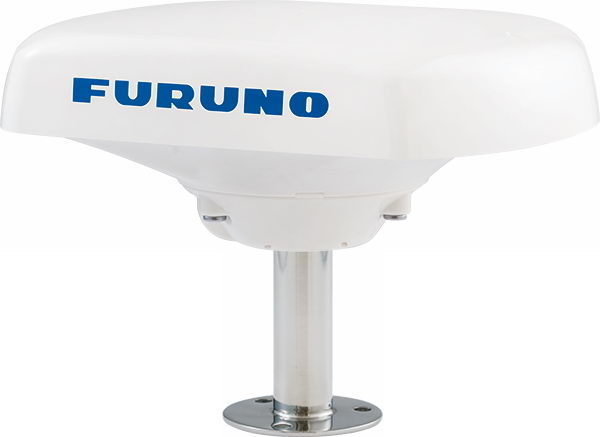
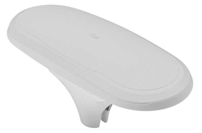
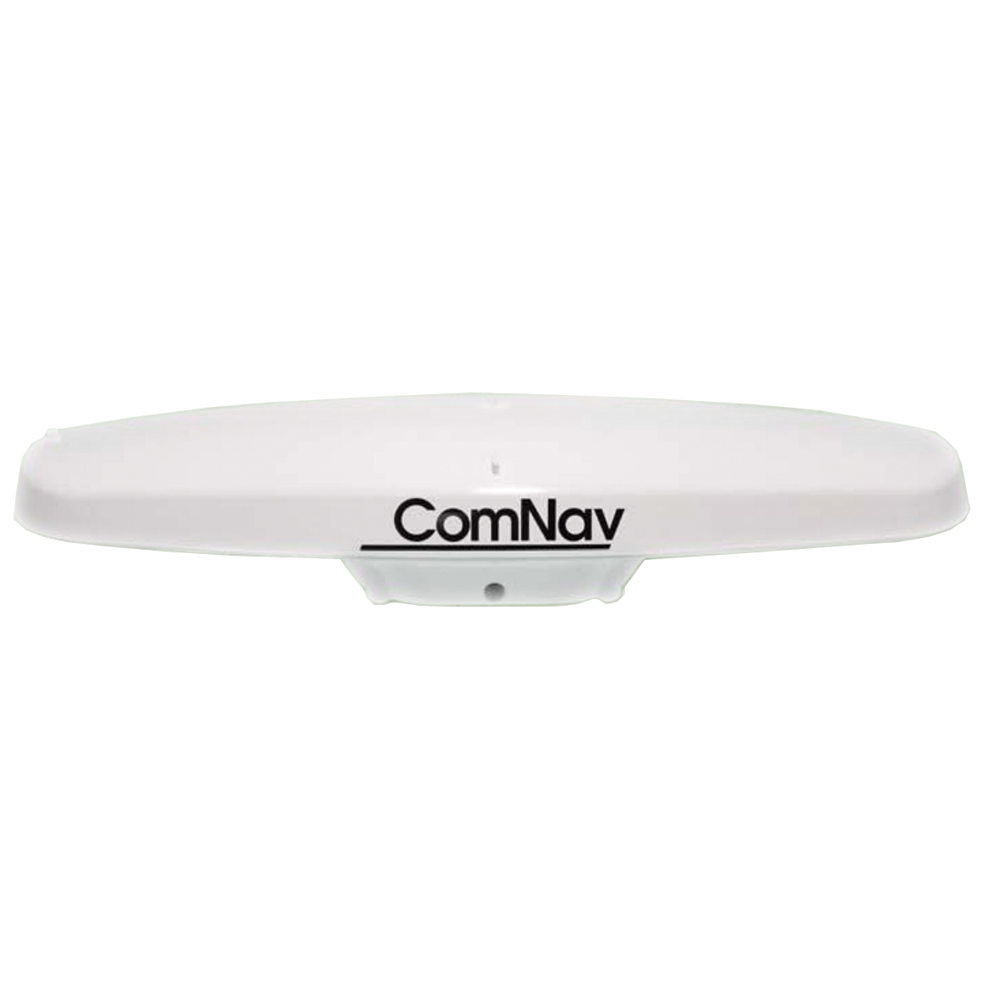
Analogues
 +7 (812) 4-673-673
