ComNav G1
ComNav G1
To order
Call our sales manager
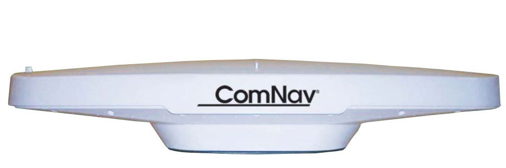
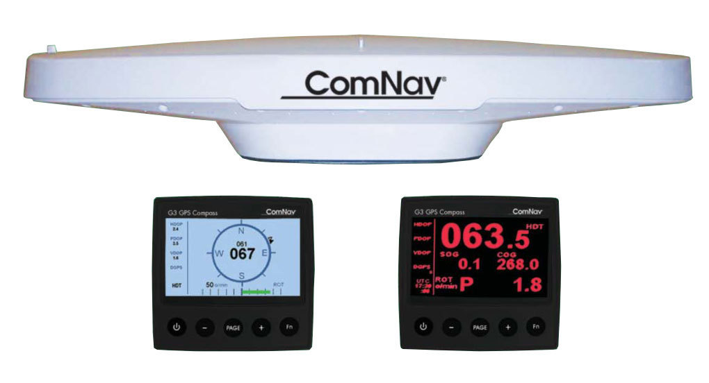
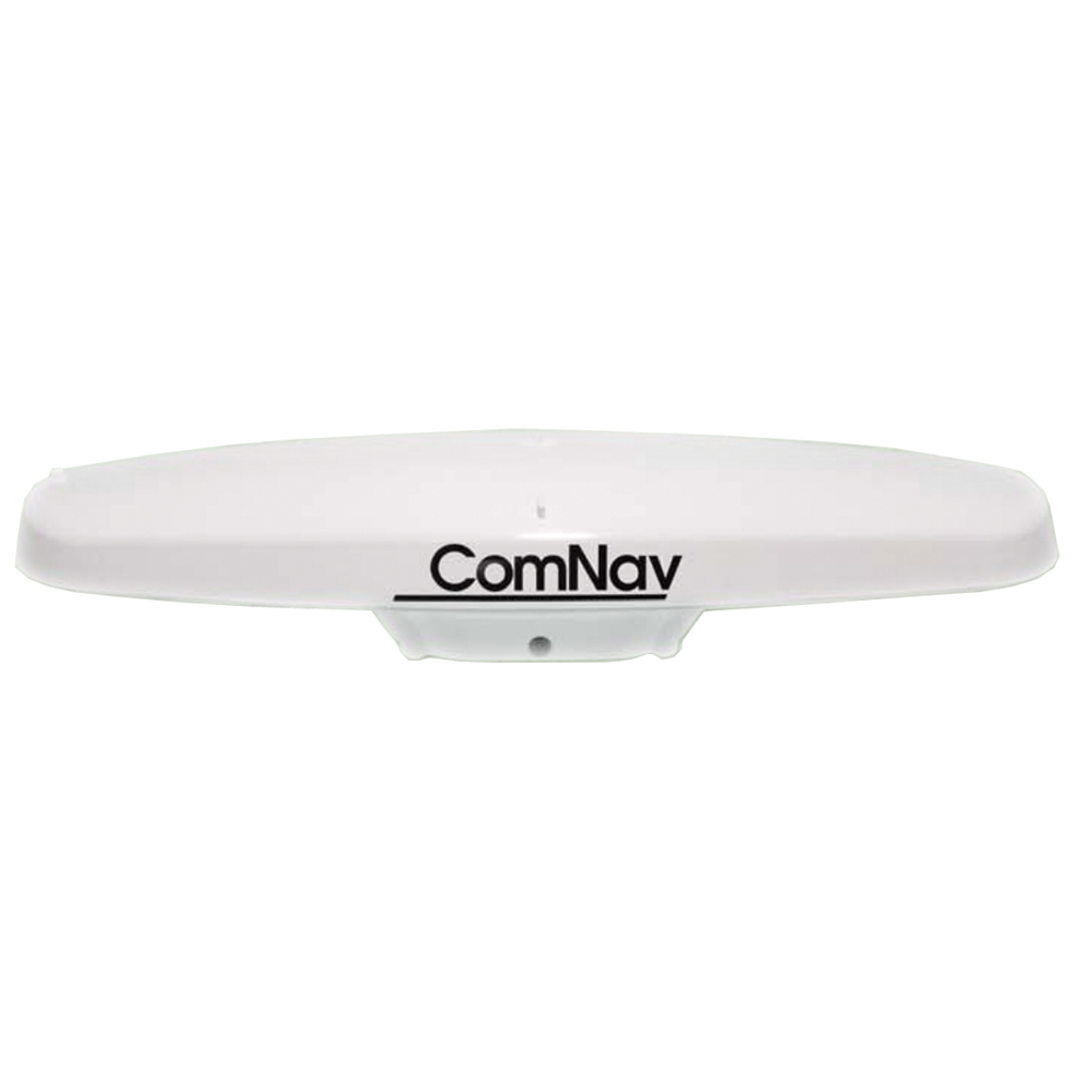
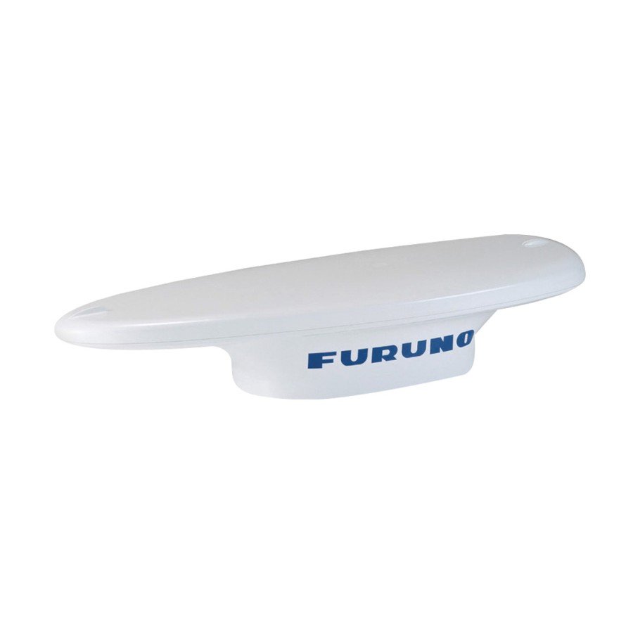
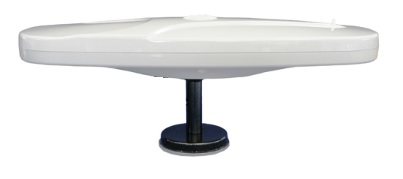
The ComNav G1 satellite compass is able to provide the most accurate course measurement with an accuracy of 0.5 ° RMS for a wide range of navigation devices, such as autopilots, sonars, radar, graphic plotters, AIS receivers and many other types of marine devices and systems.
The instrument uses a differential GPS to measure the course, not subject to magnetic fluctuations or deviations. Course data is transmitted to the navigation devices via the standard output of NMEA 0183 or NMEA 2000 data. The device features a fast start, a re-acquisition time, a course update of up to 20 times per second and can operate at a constant rotation speed of up to 45 ° per second.
The G1 consists of a ComNav receiver module (containing two GPS receivers, a 3-axis gyroscope, a 3-axis accelerometer and a 3-axis magnetometer), two GPS antennas and a power source. GPS antennas inside the compass housing are spaced about 0.27 meters apart, which provides accuracy measurements of the course of more than 0.5 degrees. The gyroscopic accelerometer and magnetometer improve system performance by providing course information for three minutes whenever the GPS course is unavailable due to signal blockage or other time factors.
Specifications:
- Channels: Two x 32 parallel GPS tracking, GLONASS, sbas
- Update frequency: Standard 10 Hz, selectable up to 20 Hz (position and direction of travel)
- Horizontal Accuracy: <0.5 m 95% confidence (DGPS) * <2.5 m 95% confidence (autonomous, without CA) **
- Course accuracy: <0.5 ° rms
- Step / Roll accuracy: <1 ° rms
- Rotation speed: 90º / s maximum
- Start-up time: <60 s
- Satellite Data Update: <1 sec
- Ports: 1 full-duplex P2-232 and 1 duplex RS-422 port
- Operating Temperature: -32ºc to + 74ºC (-25ºF to + at 165 ° F)
- Storage Temperature: -40ºc to + 85ºc (-40ºF to + 185ºF)
- Input Voltage: 10 to 36 VDC
- Power consumption: ~ 2.8 W nominal
- Current: ~ 240 mA @ 12 VDC
Analogues
 +7 (812) 4-673-673
