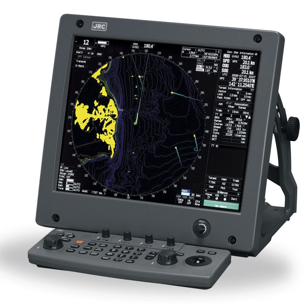
Furuno М-1934С
Furuno М-1934С
To order
Call our sales manager
Documentation
Руководство пользователя 'M-1934C'
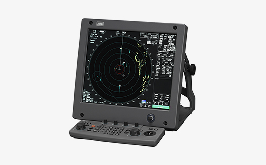
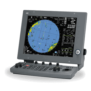
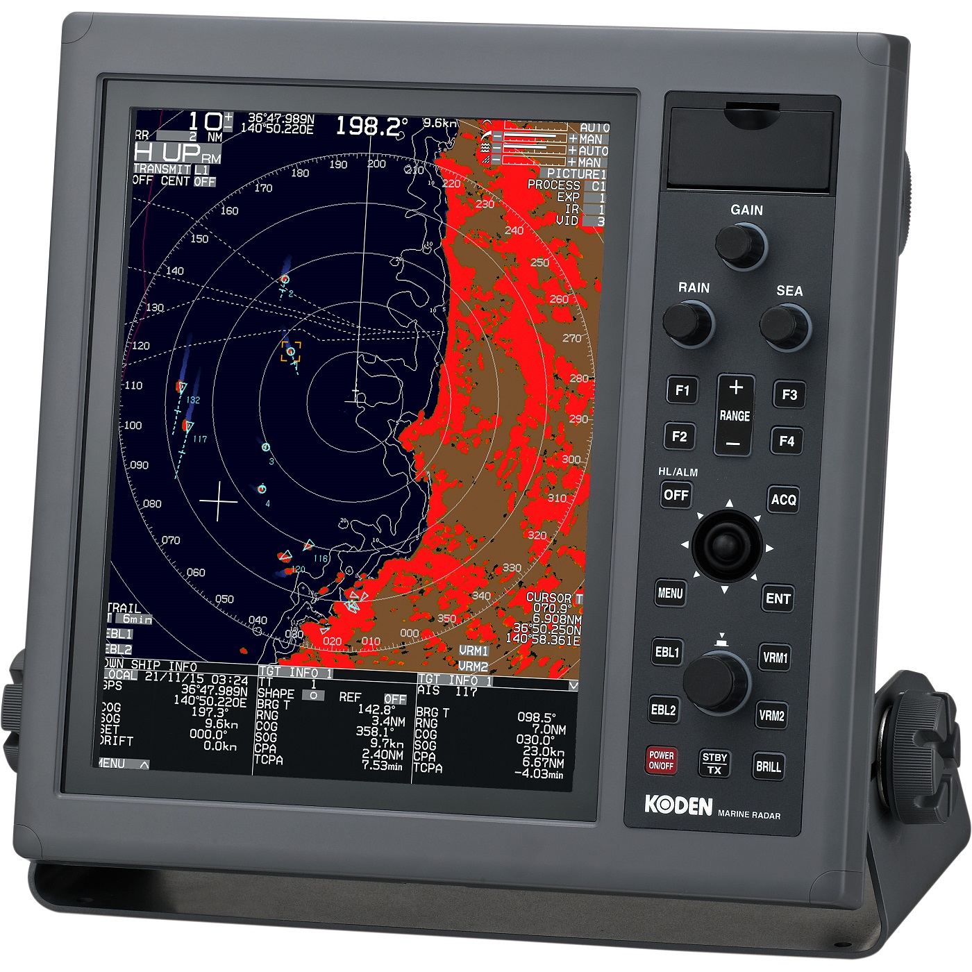
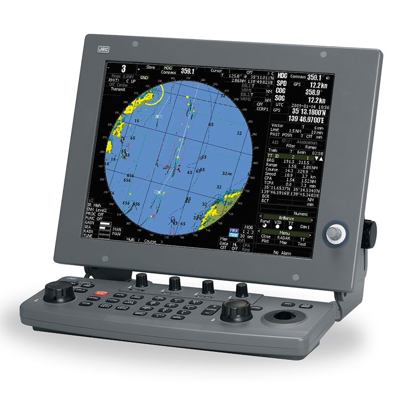
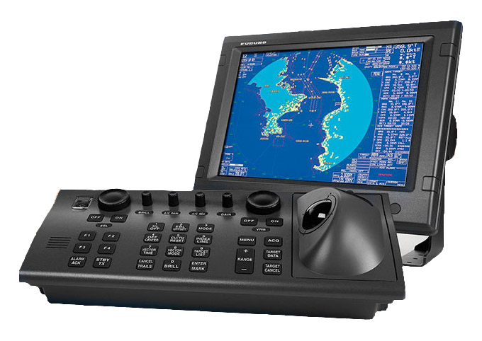
M-1934C - is a radar station family NAVnet vx2 company Furuno. The main advantage of this system is the simplicity of supplementing with various components. If it is necessary to have, for example, a GPS receiver, it is enough for the operator to connect one. The same principle applies to the rest of the components. The radar allows you to connect up to 4 displays at a time. The device can work as a full-featured chartplotter. Suitable for work on sea and river vessels.
The M-1934C is certified by the Russian Maritime Register of Shipping.
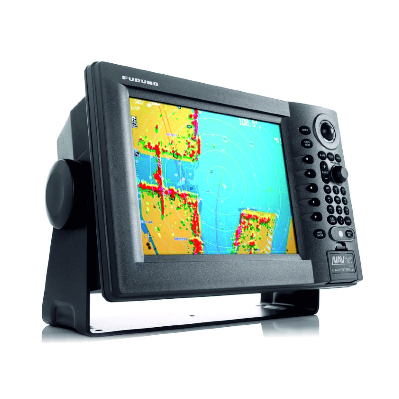
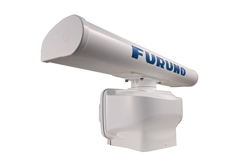
The basic set includes a color 10 inch GD-1920 display and an open radar antenna 103 cm long, 4 kW power, 103 cm in diameter and 48 miles range. The screen provides good visibility even in direct sunlight. To simplify the tracking of the navigational situation, an additional function is provided for combining naval charts and radar targets. This function detects 1000 waypoints, including fast points; Up to 200 routes, each of which consists of 35 waypoints. Display modes: in the North, at the Course, automatically at the Rate. Also, the device can be controlled remotely using a remote infrared control unit. The M-1934C is equipped with an automatic GST receiver (amplification, interference from the sea, tuning).
Package Included:
- Display
- Radar antenna
- Antenna cable 10/15/20 meters in length
- Power cable
- Mounting kit
- Documentation
Specifications:
- Power supply - 12/24 VDC
- Display - Color 10 'LCD
- Power - 4 kW
- The range is 0.125-36 M
- Antenna - Slit waveguide antenna array, span 3.5 '(1035 mm)
- Polarization - Horizontal
- Rotational speed - 24/48 rpm
- Frequency - 9410 +/- 30 MHz
- Range scales - 1/8 to 48 nautical miles
- Operating temperature -25 ° C + 70 ° C (aerial), -25 ° C + 55 ° C (display, power supply)
- Waterproof - Waterproof IPX6 (Antenna)
- Consumption - 110 W
- Interface - NMEA 0183 version 1.5 / 2.0 (data entry), NMEA 0183 version 1.5 (data output)
Analogues
 +7 (812) 4-673-673
