Furuno M-1945
-
Available for order
-
Certificate:РМРС
Furuno M-1945
To order
Call our sales manager
Documentation
Брошюра 'М-1945'
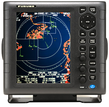
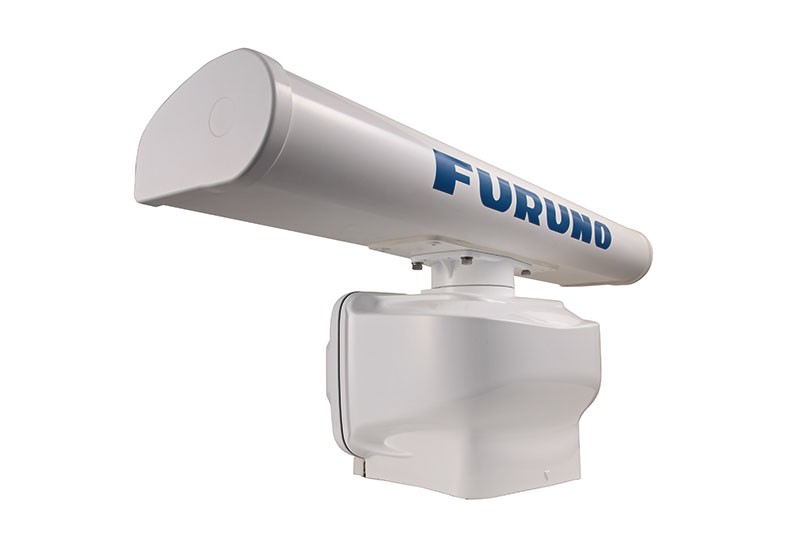
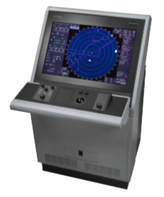
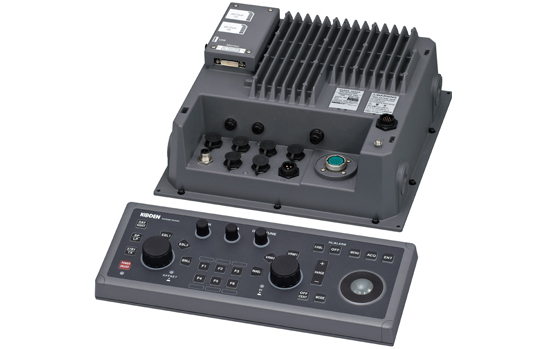
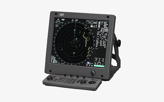
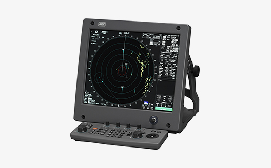
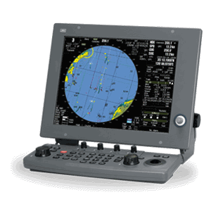
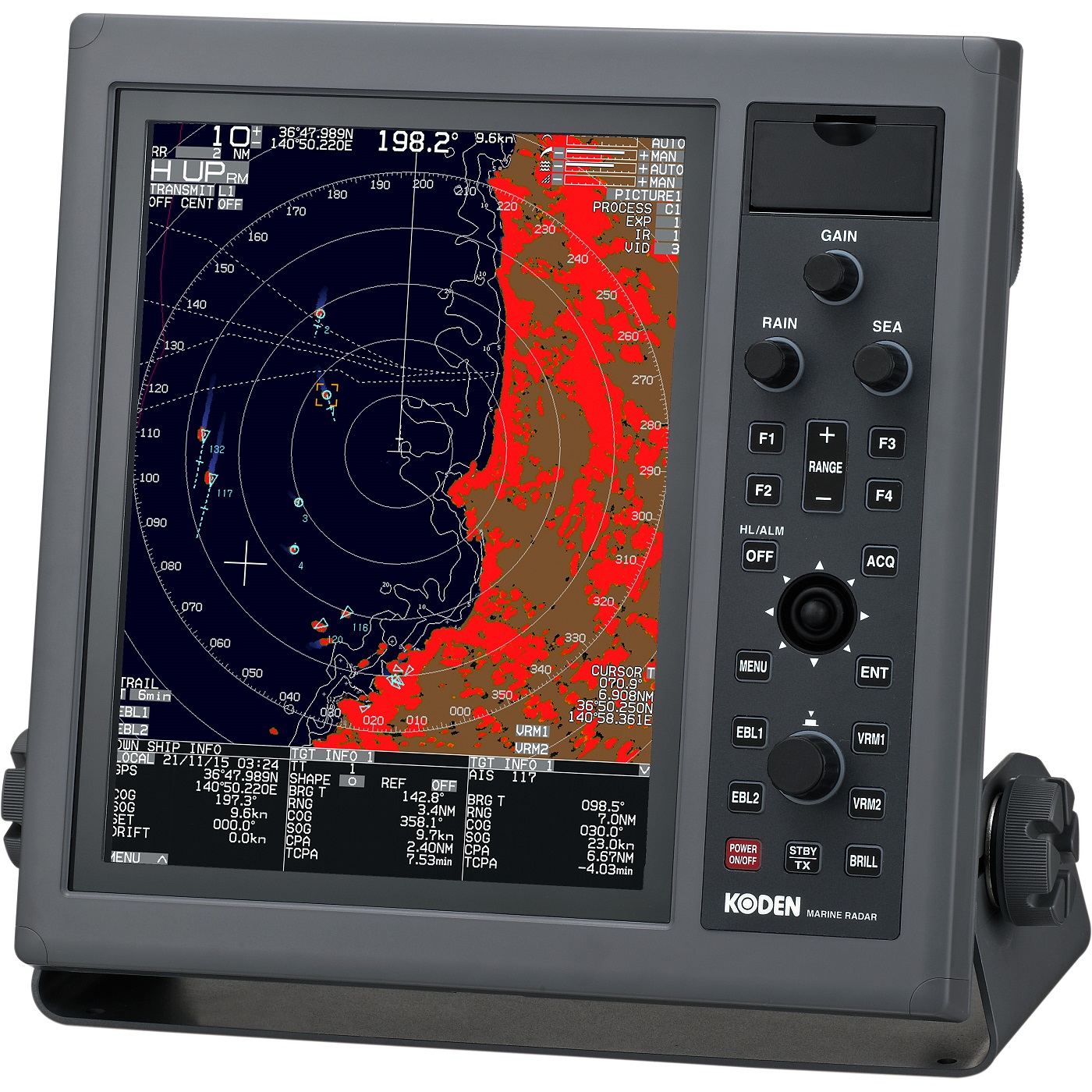
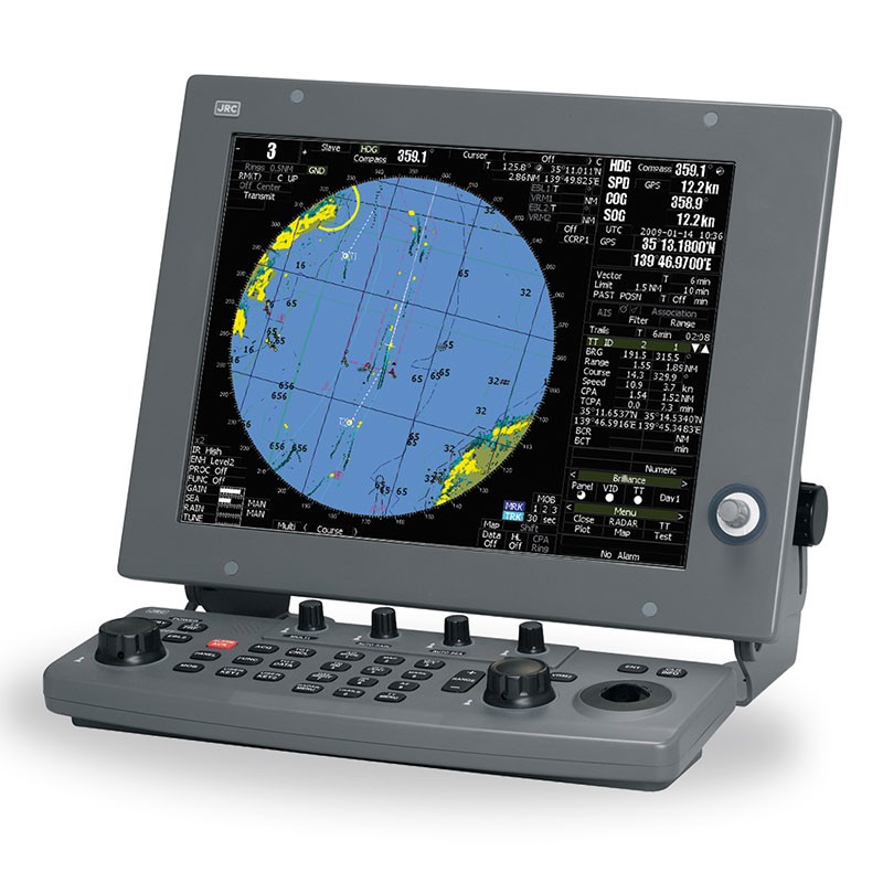
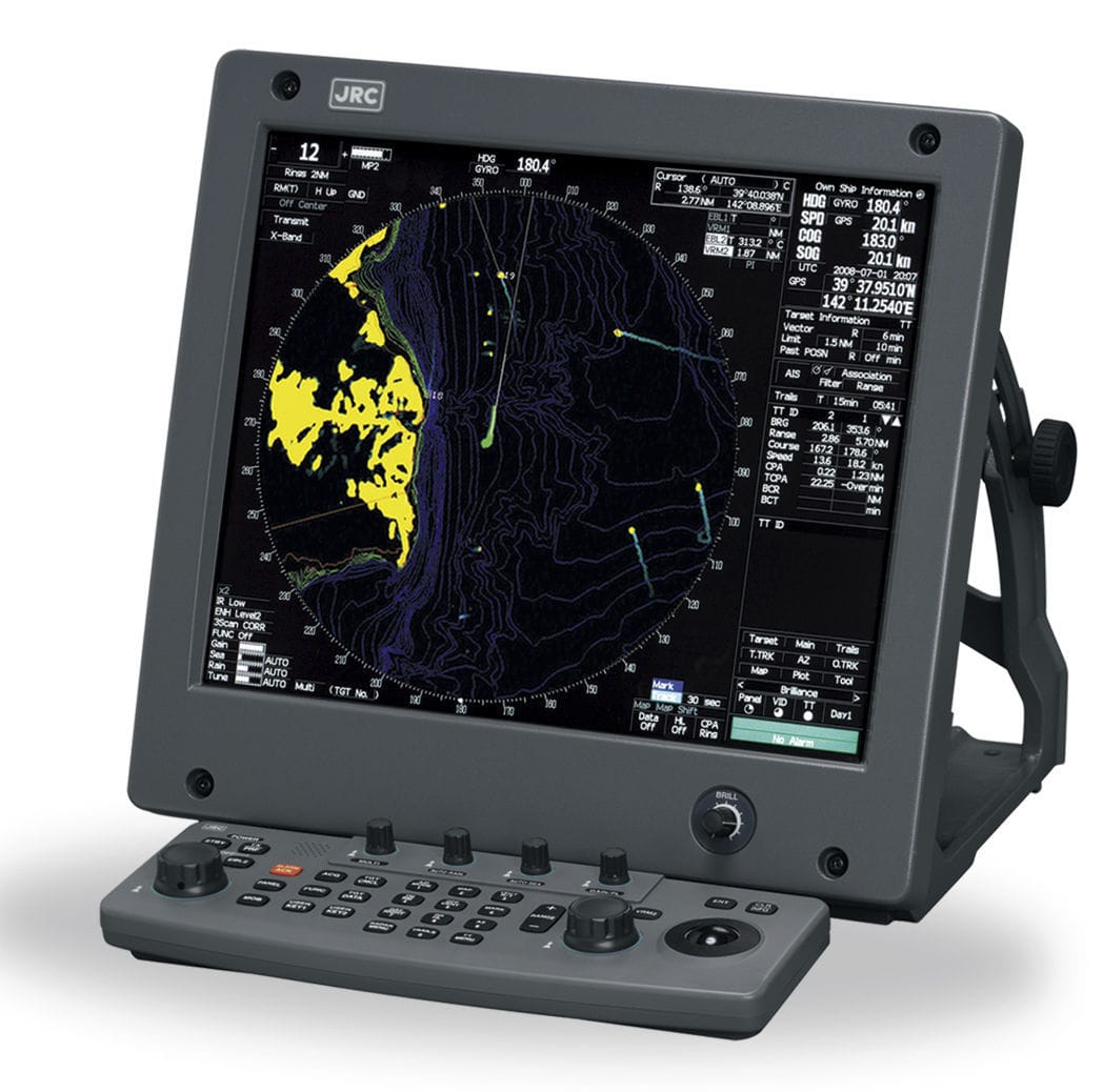
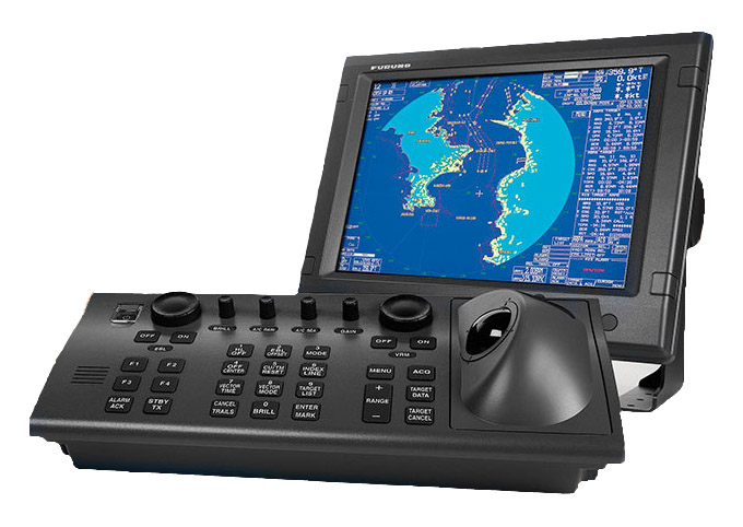
Furuno M-1945 is a 6 kW marine radar equipped with an open—type antenna. It is designed for installation on various vessels, including recreational and fishing vessels.
Furuno M-1945 is certified by the Russian Maritime Register of Shipping.
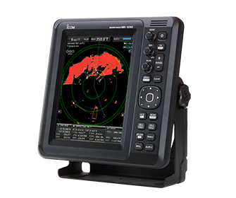
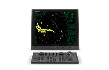
The radar has a high-contrast 10.4-inch LCD display. Crystal clear display of targets is provided by automatic controls for amplification of useful echo signals and suppression of interference from the sea and rain. This model provides the user with new levels of quality, performance and reliability, allowing them to detect even the smallest targets at any distance. New display modes, such as true view and full-screen mode, contribute to increased navigation safety.
The radar can be integrated with other navigation equipment, plotters and echo sounders via the NMEA 0183 Furuno programmable interface, which allows operators to expand ship systems to the required limits.
The main features of Furuno M-1945:
- Sustainable support of AIS goals/SARP with the function of zooming in on the display.
- Full-screen mode to increase the visibility area around the ship.
- Advanced controls for automatic tuning, amplification and suppression of interference.
- The choice of colors for displaying echoes is yellow, green, orange or a combination of colors.
- Integration with other navigation equipment.
Technical specifications:
- Rotation speed: 24 or 48 rpm.
- Power supply: 12-24 V DC.
- The width of the beam in the horizontal plane: 1.9.
- The antenna is open type, 120 cm long.
- Operating temperature: -25 to +55.
- 10.4-inch color LCD display.
- Range of range: 1/16, 1/8, 1/4, 1/2, 3/4, 1, 1.5, 1.6, 2, 3, 3.2, 4, 6, 8, 12, 16, 24, 32, 36, 48*, 64**.
- Minimum range: 25 m.
Analogues
 +7 (812) 4-673-673
