Furuno FAR-2137S
Furuno FAR-2137S
To order
Call our sales manager
Documentation
Брошюра 'FAR-2137S'
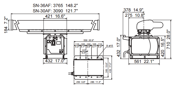
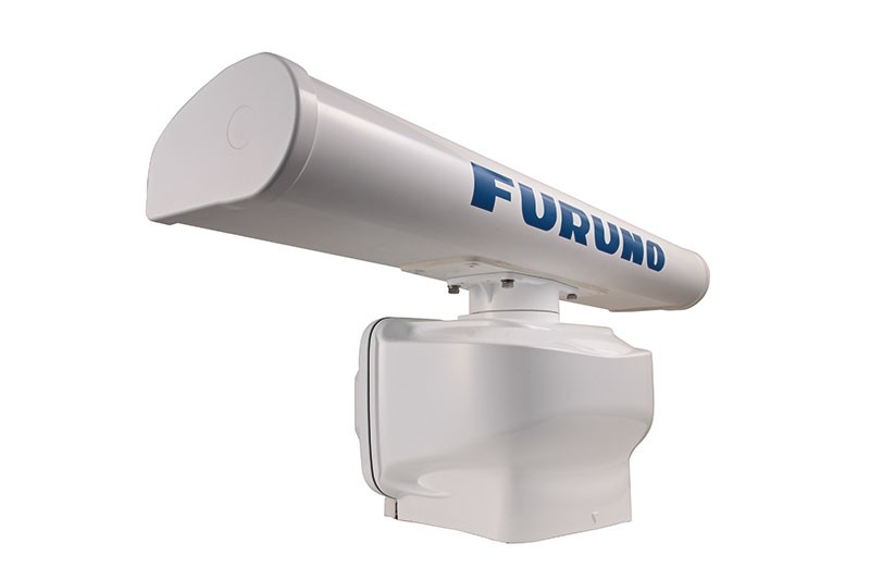
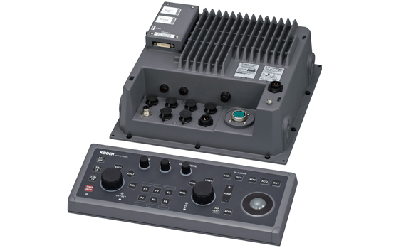
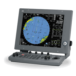
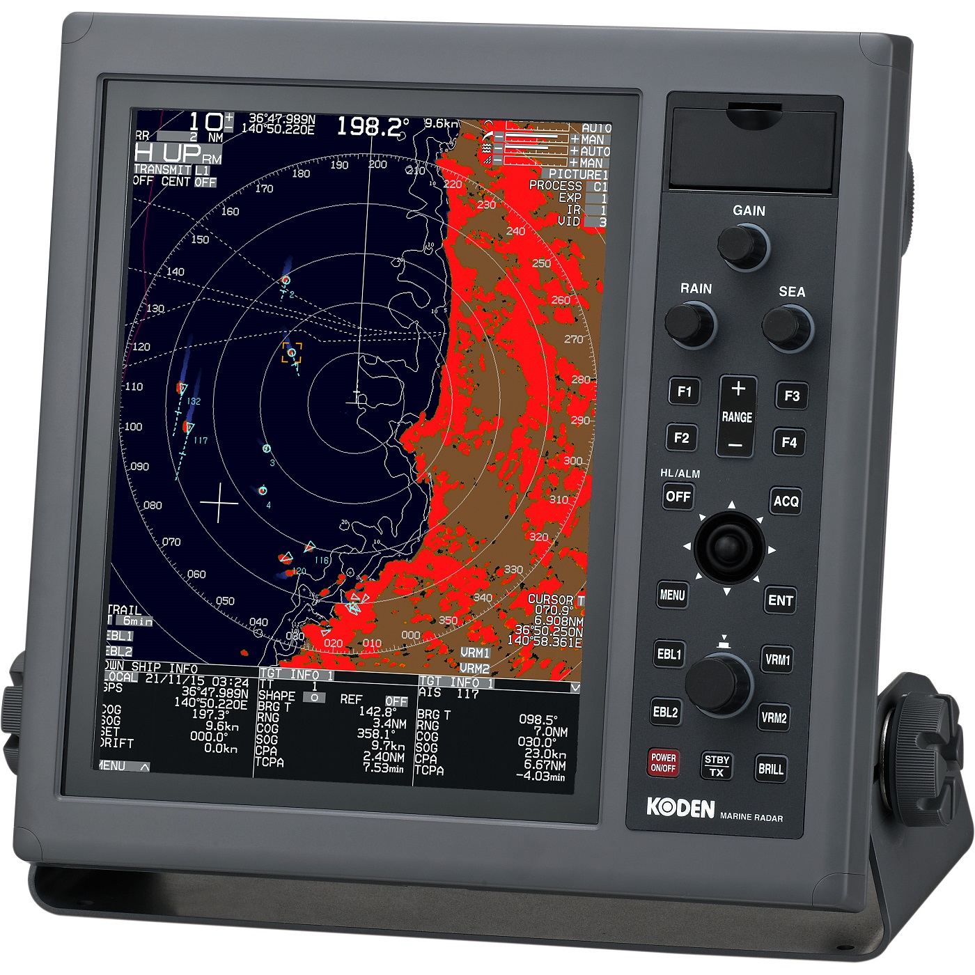
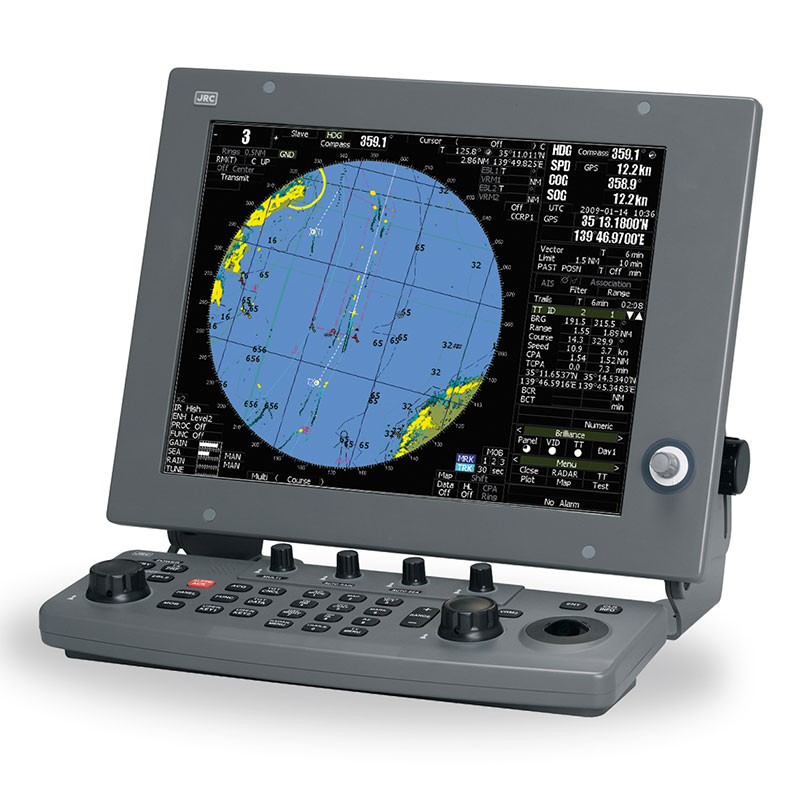
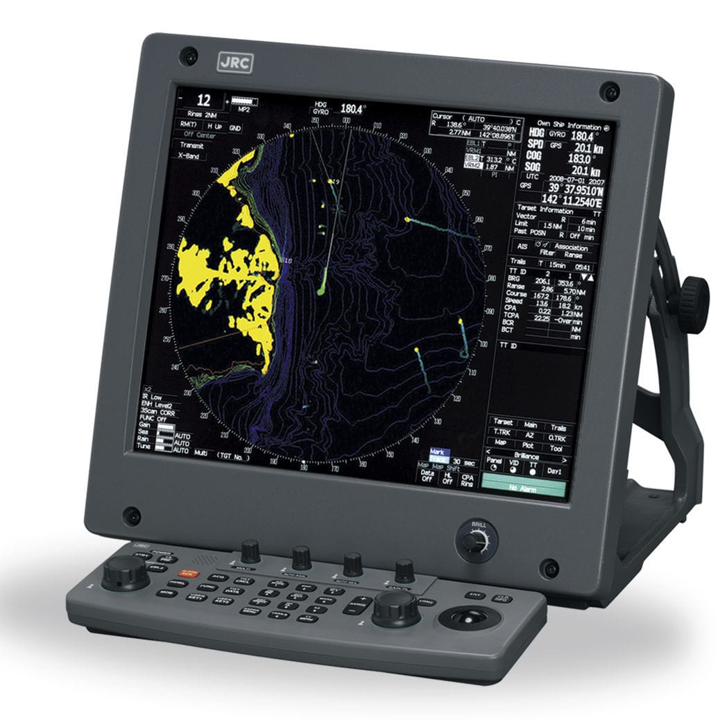
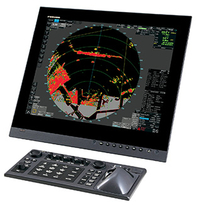
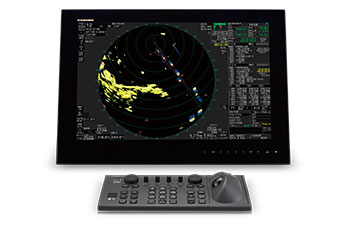
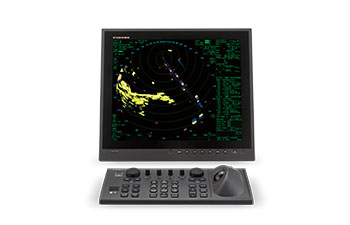
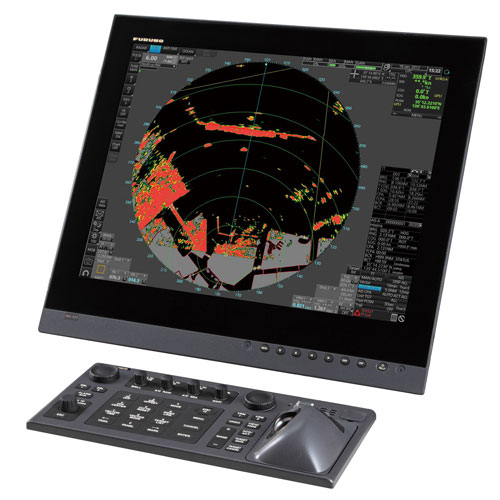
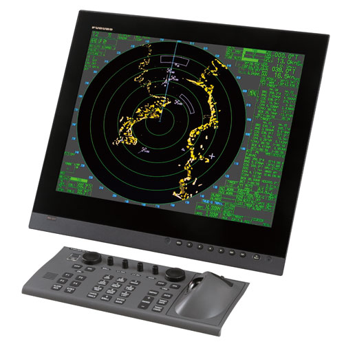
Radar FAR-2137S is a development company Furuno, proven in the marine electronics market. Furuno FAR-2137S is used for the detection of targets, and through improved performance, proper operation is possible even under adverse weather conditions. Radar FAR-2137S is equipped with a color LCD display with a resolution of 1280x1024 pixels, providing high image quality. The following data are displayed on the radar screen: the selected target data rate, the status of his own ship, the water temperature and more. Just display Furuno FAR-2137S has the choice between day and night lighting, which allows the use of a radar station without losing any data at any time.
Furuno FAR-2137S has a convenient control, thanks to a multi-function buttons, knobs, as well as a trackball, by which the menu any operation can be performed. The network can combine up to four radar stations without the use of any additional devices. Furuno FAR-2137S complies with IMO vessels of up to 10,000 GT and has a certificate of the Russian Maritime Register of Shipping.
Specifications:
- Operating frequency 9410 ± 30MHz
- Power output 12 kW
- The rotational speed of 24/42. / Min.
- The frequency 9410 ± 30 MHz
- Pulse width: 0.07?s / 3000Hz (Range scale 0.125,0.25 nm); 0.07, 0.15 ?s / 3000Hz (Range scale 0.5 nm); 0.07, 0.15, 0.3 ?s / 3000,1500Hz (Range scale 0.75,1.5 nm); 0.15, 0.3, 0.5, 0.7 ?s / 3000,1500,1000Hz (Range scale 3.0 nm); 0.3, 0.5, 0.7, 1.2 ?s / 1500, 1000,600Hz (Ra
- IF center frequency of 60 MHz
- Scale range: 0.125 (0.25) 0.25 (0.05) 0.5 (0.01) 0.75 (0.25) 1.5 (0.25) 3 (0.5) 6 (1.0) 12 (2.0) 24 (4.0) 48 ( 8.0) 96 (16.0)
- Screen Type: LCD, SXGA (1280x1024 pixels)
- The number of objectives to 1000
Analogues
 +7 (812) 4-673-673
