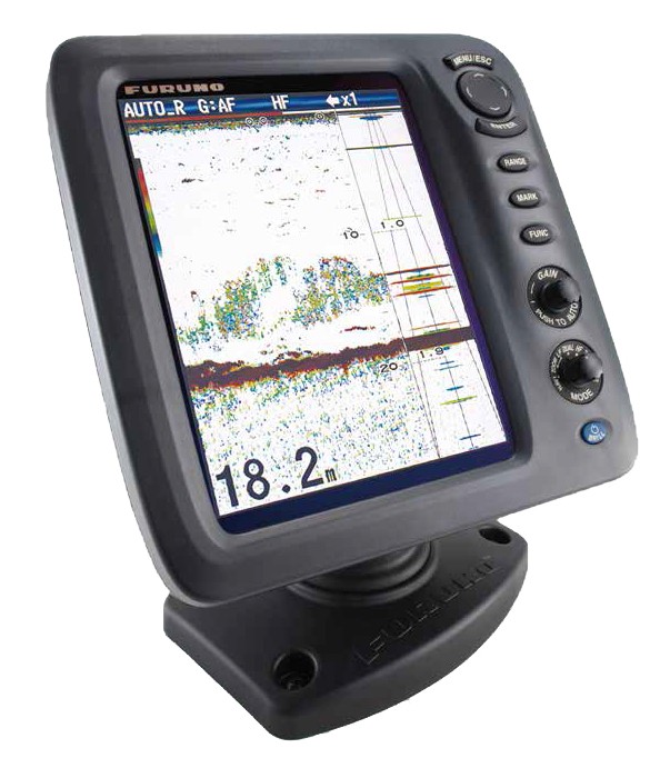
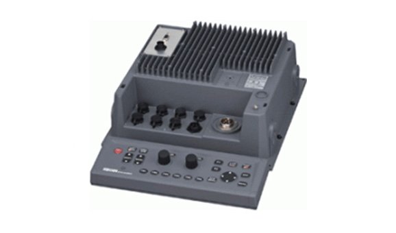
Navigation echo sounder Junlu DS1068-1R
-
Available for order
-
Certificate:РМРС
Navigation echo sounder Junlu DS1068-1R
To order
Call our sales manager
Documentation
Brochure DS1068-1R
Navigation echo sounder Junlu DS1068-1R
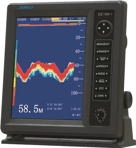
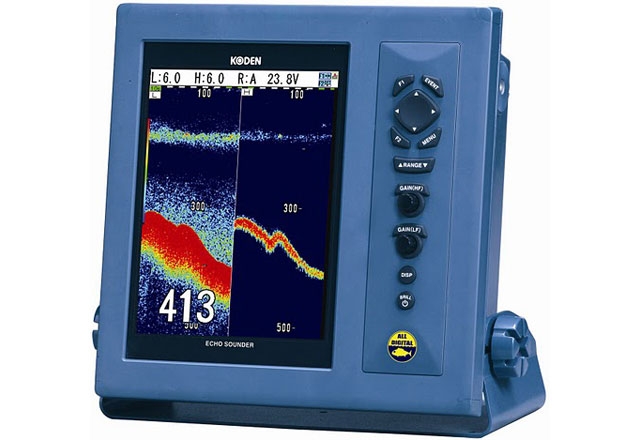
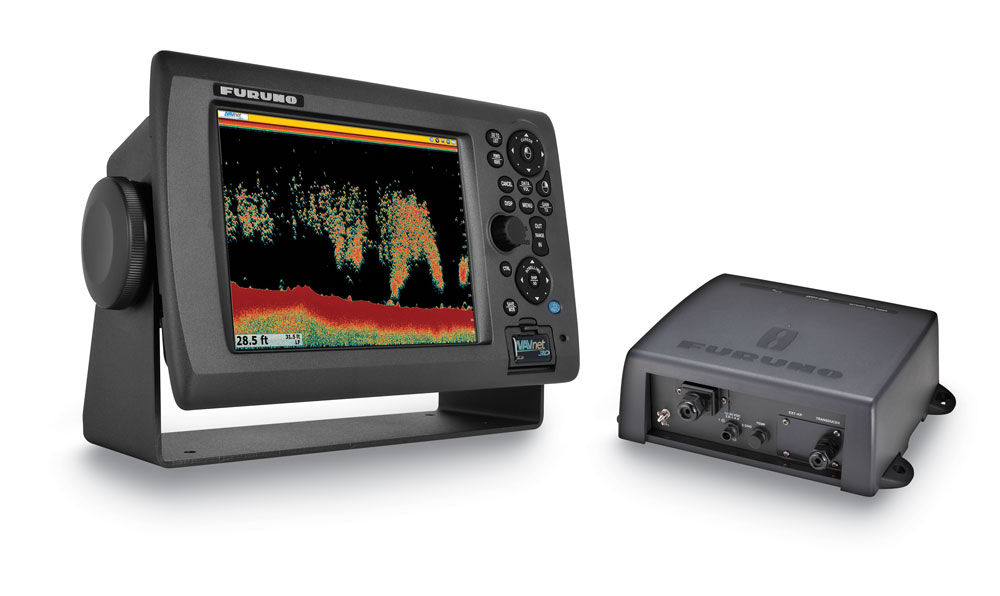
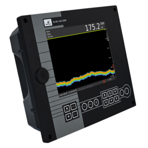
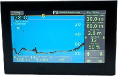
DS1068-1R is a modern sonar sonar designed to determine the depth of water for navigation purposes.The equipment is used to ensure the safety of ships to avoid their collision with shallow waters and other underwater objects.
This echo sounder is ideal for commercial and private vessels, research and military ships, as well as for maintaining the safety of ships at locks and ports.
| Automatic selection of the depth scale range and automatic gain |
| Depth measurement with information output in digital and graphical form |
| Depth measurement modes relative to the water surface or the most submerged part of the vessel |
| Alarm about reaching the specified depth |
| Two output ports of depth data via NMEA 0183 protocol |
| GPS connection port |
Basic device parameters
- Frequency of the converter: 200 kHz, F 139 mm
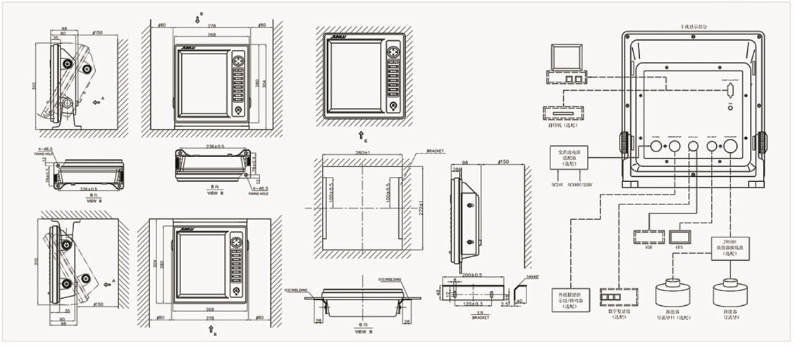
- Dimensions of the main unit: 278 x 294 x 109 mm
- Display Size: 10.4” color LCD screen
- Power supply: DC 24V (range from -25% to +30%)
- Operating temperature range: from 0C to +50C
- Display temperature range: -20C to +70C
- Relative humidity: from 10% to 90%
- Data output format: NMEA 0183 (DBT, FPT)
- Data output to the printer: RS232 interface (time, depth, latitude, longitude)
- Data input format: GPS (RMC, GGA, GLL, ZDA)
- Measurement accuracy: ±1 m
- Transmitter power: 500W
- Recording display time on the screen: at least 15 minutes
- Memory capacity: storage of depth data for at least 12 hours
- Pulse frequency: at a depth of at least 12 times/min, in shallow water at least 36 times/min
- Minimum distance to the compass during installation: at least 0.88 m for a standard compass
Analogues
 +7 (812) 4-673-673
