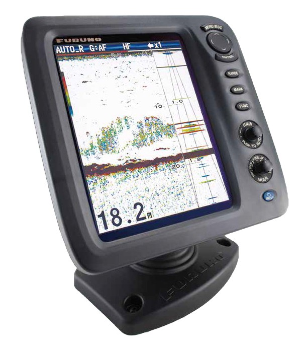
Navigation Echosounder EN-200
-
Available for order
-
Certificate:РМРС
Navigation Echosounder EN-200
To order
Call our sales manager
Documentation
ЭН-200 Брошюра
ЭН-200 Одобрение
ЭН-200 Одобрение
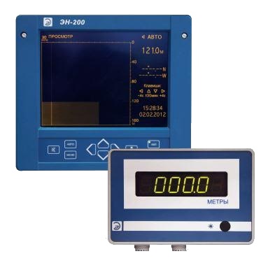
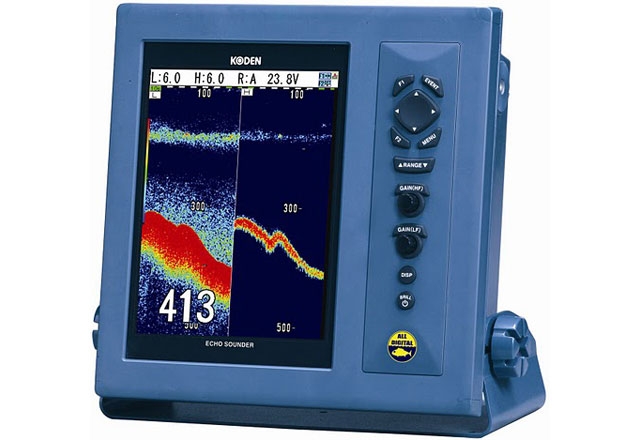
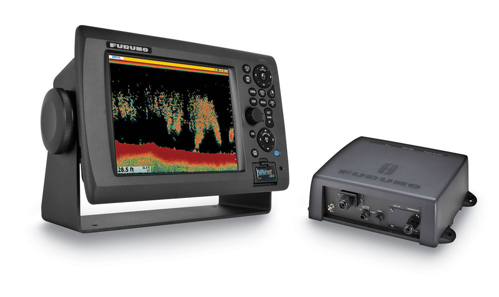
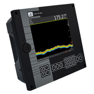
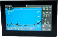
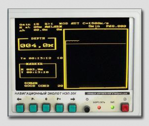
Navigation Echo sounder EN-200 - measures the relative speed and the depth under the keel. It applies different courts. User-friendly and simple interface. It provides a choice of scale at the bottom of the graphical display. Long-term and continuous operation. It meets the requirements of IEC 61162-1 standard.
It has certificates of the Russian River Register (№SZF-224 dated 23.12.2009) and Russian Maritime Register of Shipping (№10.00213.011 from 03.02.2010)
To ensure the best performance, depth sounder EN-200 is presented in 2 versions:
- EN-200N - for displacement vessels.
- EN-200K - for displacement vessels and hydrofoils.
Replacement sensors can be produced without the need for spaces of a ship in the dock, thanks to a special sonar antenna mounted in klinkete. The high degree of protection against mechanical damage is achieved by the small diameter of these sensors.
High-contrast electroluminescent display such as VGA 8.1, viewing angle of 160 °. The data recorded within 12 hours. There is a time reference and coordinates. display depth range 8-20-40-80-160-200 m. to zoom in on a particular area possible. The antenna and sonar are located at a distance of 110 meters.
Sounder EN-200 provides various functions and operating modes:
- Manual selection of the depth of the measuring range
- Control a ship to a predetermined depth
- Support of sound and / or light signal
- Changing the depth display interval time
Specifications:
- Warm-up time 15 s
- Operating temperature - -15 to +55 ° C
- Input Interface - GGA, GLL, RMC
- Output interface - SDDPT
- Power consumption - 20 W
- Instrumental error - 0.5%
Analogues
 +7 (812) 4-673-673
