UniSailor MFD12
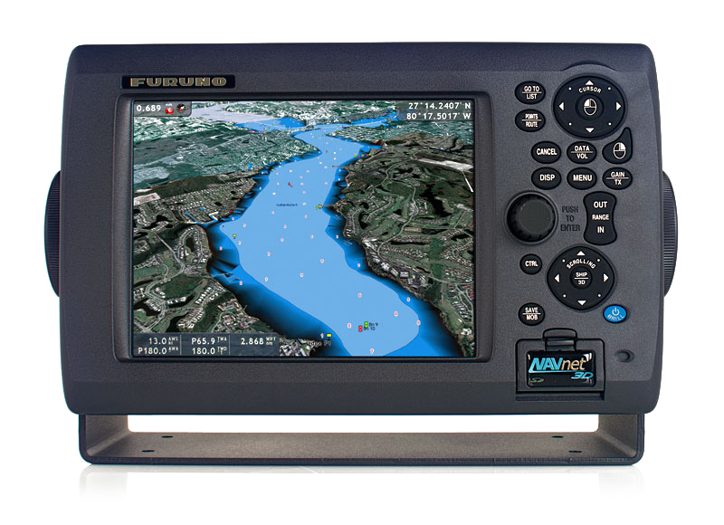
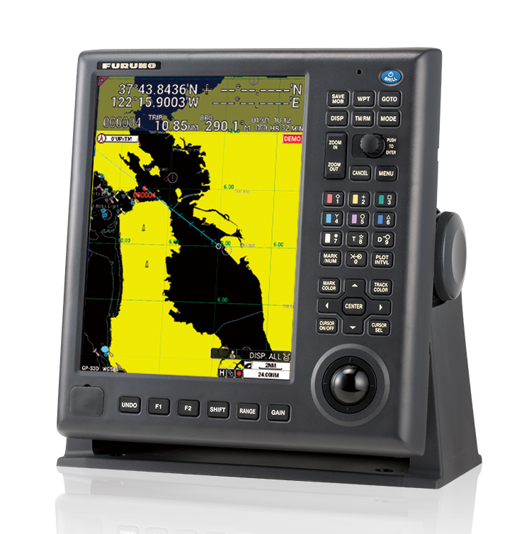
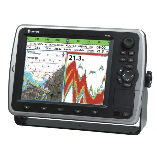
UniSailor MFD12 - is a multifunctional navigation system. It is used as a means of navigation on various ships of sea and river class. The system is capable of displaying electronic charts commercial standard TX-97 card and an official standard S-57. It provides a safe and effective management of the vessel. Provides display information from a variety of navigation sensors. Compatible with compass equipment, satellite compass, log, echo sounder, AIS, radar, thermal imaging.
UniSailor MFD12 a convenient user interface, intuitive menu and the presence of various functional abilities, such as:
- Capturing goals for support teplovizerom
- Displays the e-navigation standards TX-97 and S-57
- Displaying data from external sensors
- Working with video recording archive
- Control along the route
- Loading proofreading information
- Application of user information
- route planner
- Writing in long-term memory
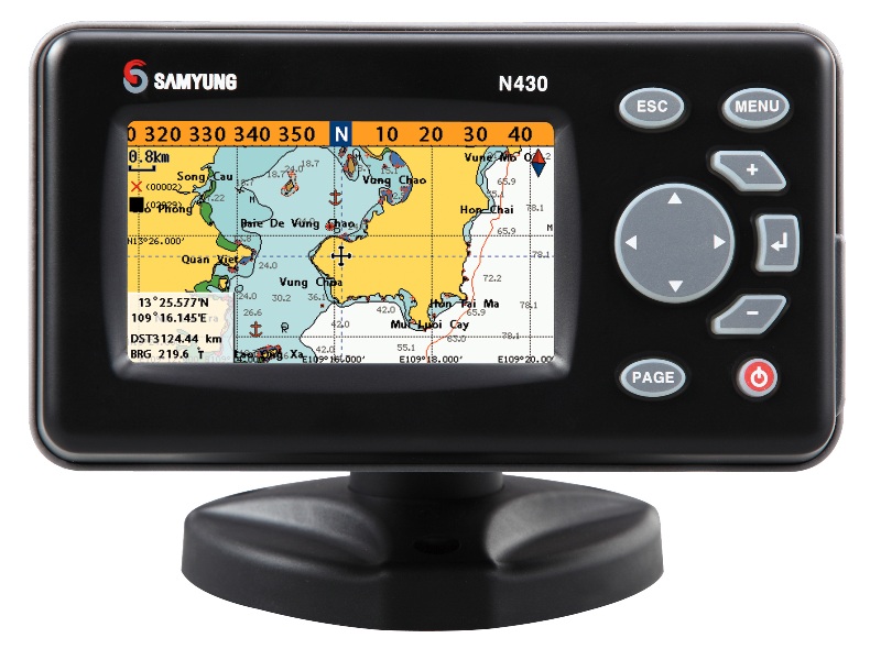
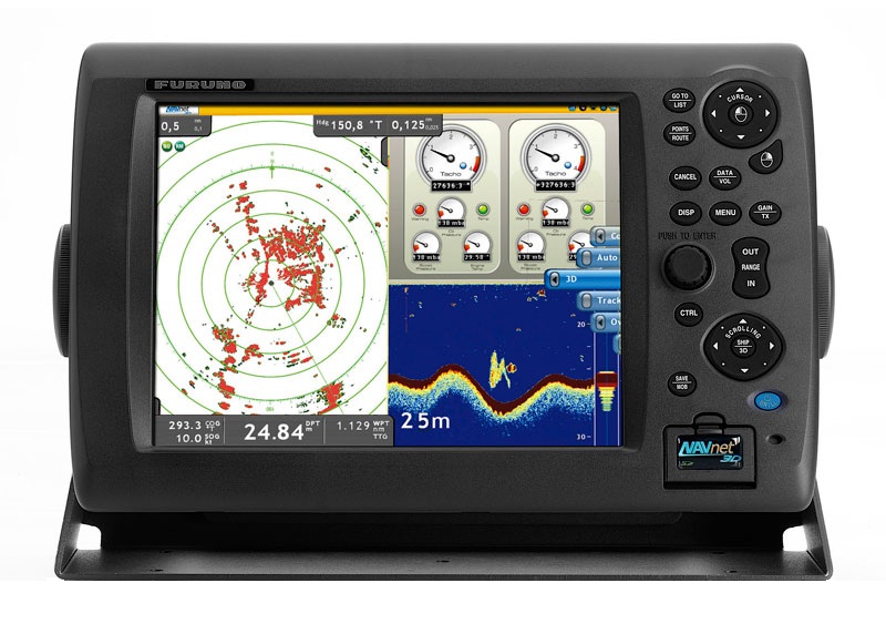
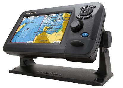
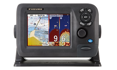
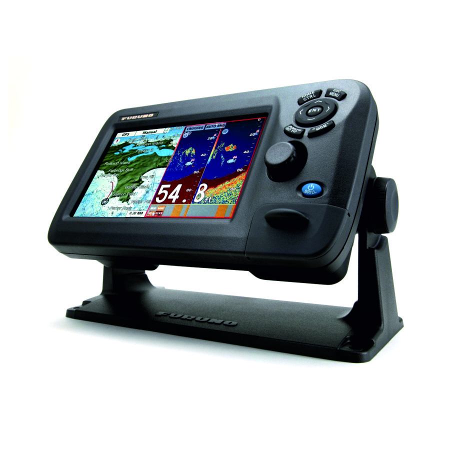
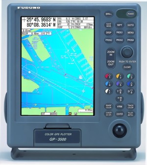
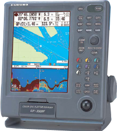
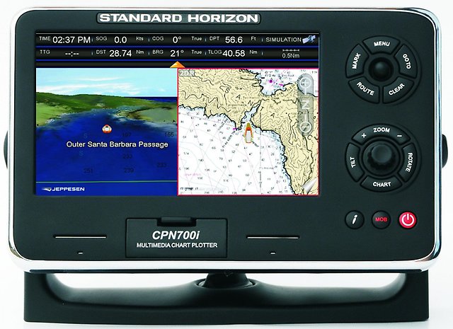
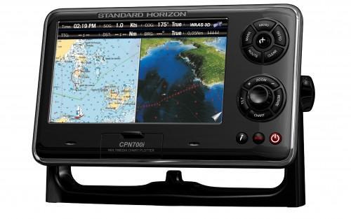
Durable and robust housing features a port Mini-USB plug to the 'power' button, various function keys and trackball.
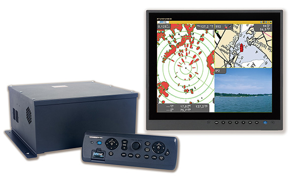
Components UniSailor MFD12 are:
- Main unit with 12 'LCD display
- Thermal control with joystick
- Color camera
- Radar
- Modes UniSailor MFD12 system:
- Display mode e-cards and two video cameras
- Sensor Adjustment Mode
- Full display mode on the screen
- Video playback mode with cameras
- Night mode
Specifications:
- Screen size - 12.1 '
- Maximum resolution - 1024 x 768
- Contrast Ratio - 700: 1
- Brightness - 600 cd / m?
- Viewing angle horizontal / vertical - ± 80 °
- The active area of the display - 245,76 x 184,32
- The maximum number of colors - 16.2 million.
- Main unit - N2930 Processor
- RAM - 2 GB
- Operating System - Ubuntu 14 (32 bits)
- Automatic RESET (Watchdog) - There
- Network - 1 x RJ45 10/100/1000 Mbit / s
- Power consumption - 25 W
- Operating Temperature - -20 ... + 70 ° C
- Operating relative humidity - 5% ... 95%
- Vibration - 5 Hz ~ 500 Hz / 1 Grms / 3 Axis
Analogues
 +7 (812) 4-673-673
