+7 (812) 4-673-673
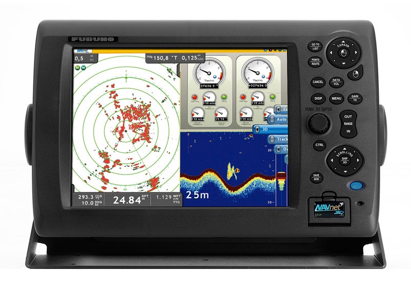
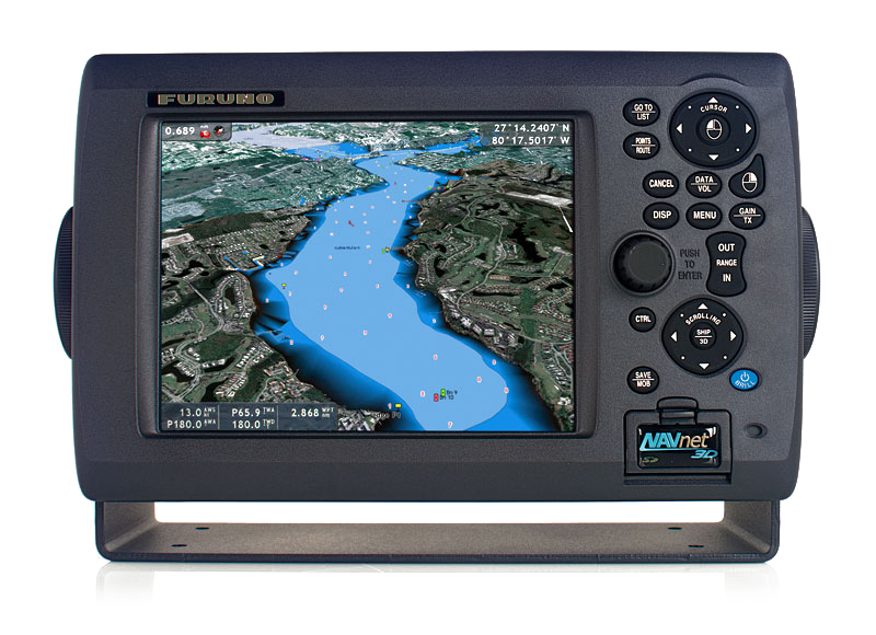
GP-3500

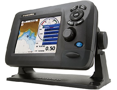
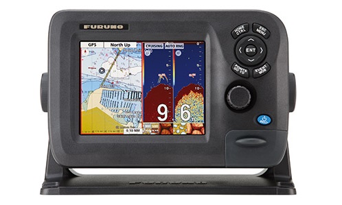
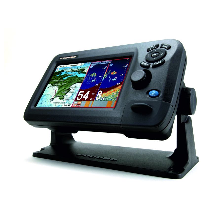
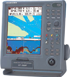
Video uploader receiver with built-in GPS GP-3500, manufactured by Furuno, designed for fishing boats and pleasure yachts. GP-3500 has a 10.4-inch LCD screen with high resolution of 480 x 640 pixels, which ensures accurate and bright image, and thanks to Day / Night mode is possible at any time and under any lighting conditions. The display can be displayed different information, depending on which mode is selected appropriate: plotter, navigation data, compass. GP-3500 chartplotter has a clear user interface and easy, convenient operation, which is achieved by using the trackball, multifunction keys on the keyboard and pen input.
Video uploader GP-3500 is characterized by a feature that allows you to display information about the purpose of: the position and depth; as well as the water temperature data (by connecting the appropriate sensor). This information, as well as up to 80,000 track points and marks, up to 3,500 waypoints, 200 routes to and stored in the internal memory Video uploader. GP-3500 card uses C-MAP NT or NAVIONICS Nav-Charts / FURUNO MiniCharts, which contain a variety of navigation marks: the geographical object names, coastlines, etc. Built-in WAAS signal, the receiver determines the exact position of the vessel. Chart plotter GP-3500 is certified by the Russian Maritime Register of Shipping.
The standard package includes:
- Display;
- Antenna;
- Antenna cable 15 m;
- Installation materials and spare parts.
- Specifications:
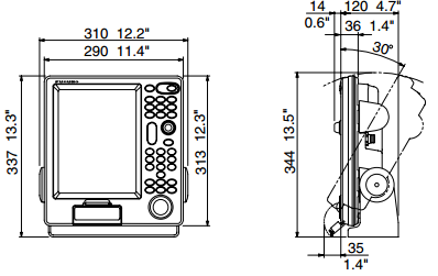
- 10.4 'color LCD display, 480 x 640 pixels;
- 12 channel GPS / WAAS receiver;
- Warm start 12 seconds;
- Accuracy GPS - 10 meters, DGPS - 5 meters, WAAS - 3 meters;
- Built-in DGPS receiver;
- Memory 80,000 points;
- Scale range plotter 0,125 - 1,024 miles;
- Temperature range -15 C - +55 C;
- Power 12-24;
- Display modes: plotter, navigation data, 'road', a compass;
- Indication trajectory vessel, waypoints and routes on the map;
- True motion (focus on the north / rate) or relative motion (focus on the north / course);
- Cartography Furuno MiniChart or C-Map NT;
Other category products