Samyung N100
Samyung N100
To order
Call our sales manager
Documentation
Samyung N100
Samyung N100
Samyung N100
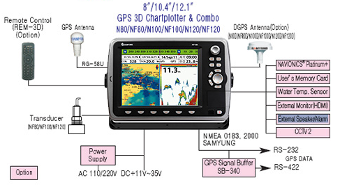
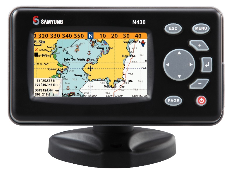
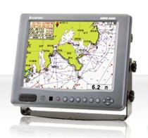
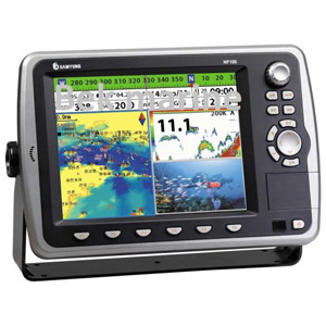
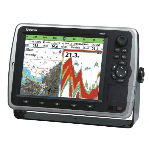
N100 - video planner with built-in GPS receiver (chart plotter), developed by Samyung, is used on sea ships as additional equipment. Samyung N100 is equipped with a bright 10.4-inch color LCD display with LED backlight (10 different levels of brightness), which accurately reproduces all the necessary navigation information.
The chart plotter N100 displays 3D maps, thanks to the latest NAVIONICS technology. It is also possible to play movies, videos and music when connecting the SD card and USB to the corresponding connectors. Samyung N100 is simple and convenient to operate and operate, has a clear user interface, menu and high performance. The video interpreter supports several languages, including Russian, English and Chinese. The chartplotter's memory can store up to 30,000 waypoints. Samyung N100 has the certificate of approval RMRS.
Device Specifications:
- Screen: 10.4 inches, 800x600 screen resolution, LED-based backlight;
- Satellite signal reception and tracking system: 50 reception channels, tracking of 16 satellites, multi-tracking on 16 channels;
- Power supply: voltage from 11 to 35 volts DC, power consumption about 40 watts;
- Operating temperature range: from -10 to +50 degrees Celsius;
- Variability of visualization modes;
- Notification system: Signals of arrival, anchorage, XTE, proximity of danger, shallow water, deep water, presence of fish, water temperature, speed, low battery, low fuel level (optional), loss of DGPS, radar protected areas;
- Waypoints: capacity of 30,000 points (Event Mark: 48, Color Mark: 16);
- Navigation routes: 100 routes, each with up to 100 stages;
- Tracks: time or distance fixation, 10 tracks of 30,000 points each;
- Image scaling: from 3 meters to 1500 meters;
- Communication interfaces: NMEA 0183, NMEA 2000;
- Operating frequency: 50/200 kilohertz;
- Output power: 600 watts;
- Depth measurement: possible in the range from 3 to 1500 meters;
- The color palette of the screen: 16 colors;
- Brightness adjustment: 10 levels;
- Automatic gain control: off/on.
Analogues
 +7 (812) 4-673-673
