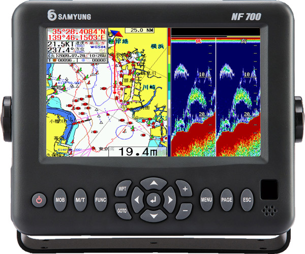
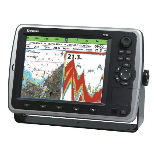
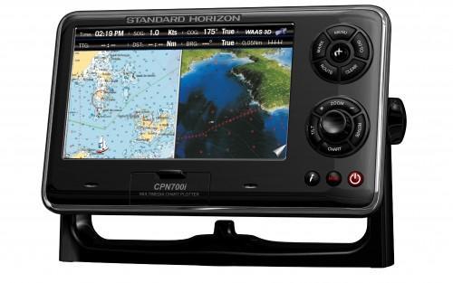
Samyung NF-700
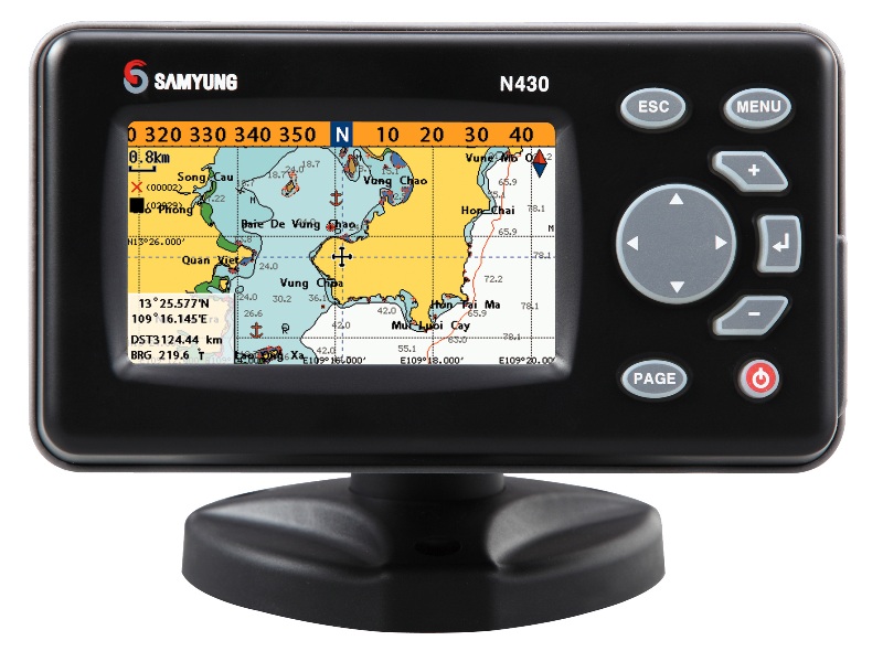
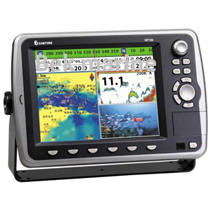
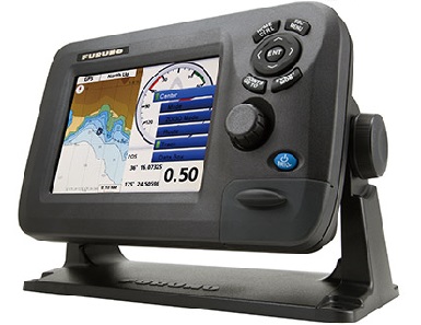
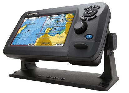
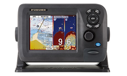
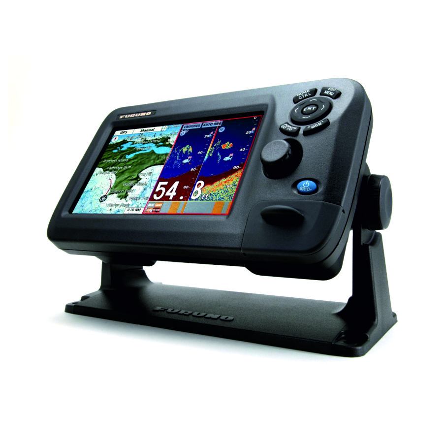
The Samyung N-700 chartplotter is equipped with a high-precision GPS receiver and supports the use of C-Map electronic cartography. It is ideal for sea and river vessels, pleasure yachts and fishing boats. The N-700 is equipped with a large color display with an intuitive interface. The connection to the ship's networks is carried out via NMEA 0183 and NMEA 2000, which allows information to be transmitted to other navigation devices. The chartplotter itself also has an interface for displaying data received from AIS and Navtex.
Main Features:
Main Features:
- Built-in display backlight;
- Built-in GPS receiver;
- cartography C-MAP NT MAX;
- NMEA 0183 and NMEA 2000 interfaces;
- 7 inch color TFT display;
- The display resolution is 480 x 800 pixels;
- cartography C-MAP NT MAX;
- Operating temperature from -10 C to +50 C;
- storage temperature from -10 C to +50 C;
- splash protection;
- permanent memory;
- silicone keyboard with backlight;
- weight 1600 grams;
- The number of user points is up to 10,000;
- The number of routes is up to 100 (maximum of 5000 points each);
- The maximum number of points is 10,000.
Analogues
 +7 (812) 4-673-673
