CPN700i
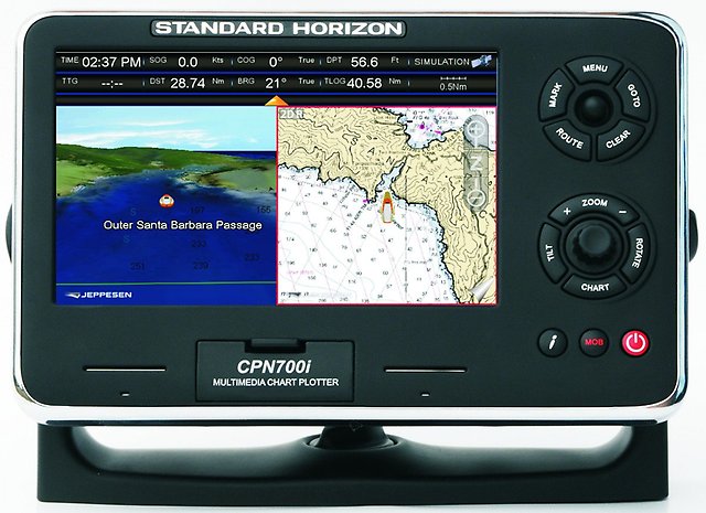
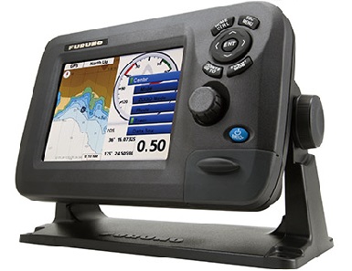
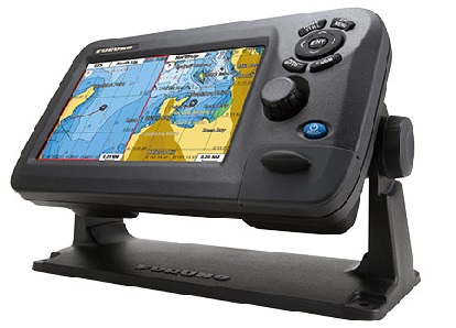
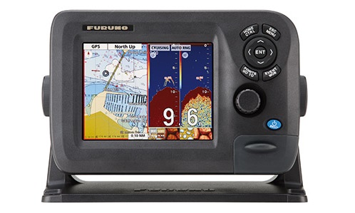
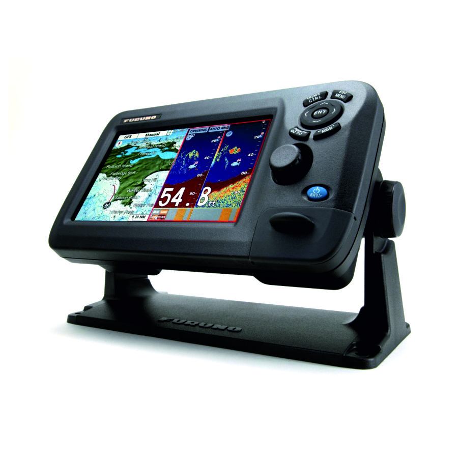
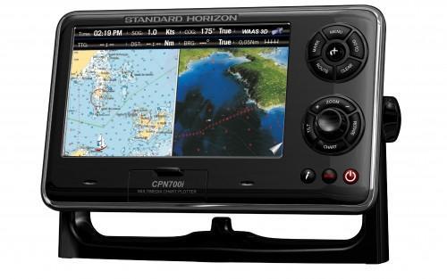
CPN700i - plotter with built-in receiver of the global satellite system GPS (karplotter) having a 7-inch LCD touch screen with high resolution of 800x480, which is visible from the information even in direct sunlight. Display karplottera CPN700i can be set so that two windows display graphs with independent zoom levels. Pre-loaded into every CPN700i C-Map maps covering the United States, Alaska, Hawaii, the Great Lakes, Canada, Caribbean, Cuba, Mexico, Puerto Rico and Central America. High sensitivity built-in 50-channel WAAS GPS receiver does everything for fast and accurate search for satellites. If necessary CPN700i kaplotteru can add an external antenna.
CPN700i plotter can store up to 3000 characters, 50 routes, 20 routes and 10,000 points. Built-in Wi-Fi allows you to access e-mail, video and music anywhere in the world. To improve sound quality, CPN700i karplotter can be connected to the onboard amplifiers and stereo speakers.
Karplotter CPN700i has a 3-year warranty, during which the STANDARD HORIZON will repair the equipment or replace it for free, without any fees. CPN700i certified by the Russian Maritime Register of Shipping.
Specifications:
- Consumption type. 0,92A at 12V = 11 W max.
- Power 12-24 VDC
- Display size 7 '
- Display Colour widescreen VGA, 800x480, anti-glare, LED backlight (1000 nits), touch
- Maps C-MAP 4D SD CARD (optional)
- Operating temperature 0 ° C ~ + 55 ° C
- Storage temperature -20 ° C ~ + 70 ° C
- Silicone keys with LED backlight
- Weight 1200 g
- Waypoints 3000
- Routes 50
- NMEA 0183 output of GLL, VTG, BWC, WCV, APA, APB, HDG, BOD, XTE, RMA, RMB, RMC, GGA, HSC, DBT, DPT, MTW, VHW
- Log NMEA 0183 BWC, DBT, DPT, DSC, DSE, GGA, GLL, GSA, GSV, HDG, HDM, HDT, MTW, MWD, MWV, RMC, RTE, TLL, VDM, VHW, VTG, VWR, VWT, WPL
- USB USB type A (USB 2.0 480mbs) on the rear panel. Micro-AB USB (only for indoor use) on the front panel
- 1 Ethernet port to 100 Mbps, LAN support
- Video input 1 input NTSC or PAL
- Wi-Fi 802.11b / g / n external antenna SMA connector
- NMEA 2000 Yes
Analogues
 +7 (812) 4-673-673
