Samyung N80
-
Available for order
-
Certificate:РМРС
Samyung N80
To order
Call our sales manager
Documentation
Картплоттер SAMYUNG N80
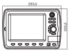
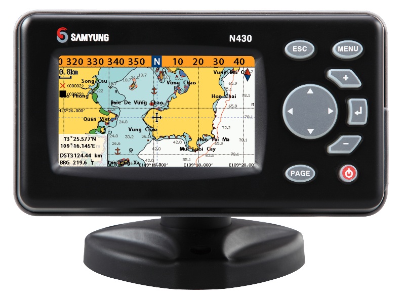
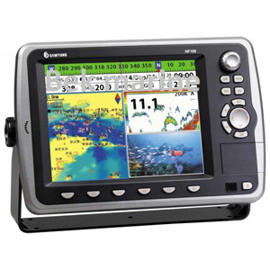
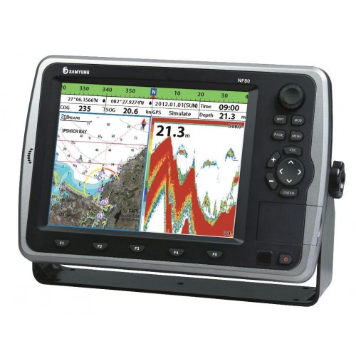
The Samyung N80 chartplotter is a high-tech device for marine navigation, equipped with a built-in GPS receiver from SAMYUNG company. It provides precise positioning and has an 8-inch color LCD display with adjustable LED backlight. The display allows you to display maps in 3D format using SAMYUNG ENC's/NAVIONICS technologies. The intuitive interface and menu make it easier to control the device.
Main functions and equipment of the Samyung N80:
The device includes a GNSS GPS receiver, ports for SD cards and USB, which allows you to play multimedia files. Supports various languages, including Dutch, English, Chinese and Russian. Compatibility with the NMEA0183 and NMEA2000 interfaces makes it possible to connect to external devices. The device is certified by the Russian Maritime Register of Shipping.
The set includes:
Technical Details:
Main functions and equipment of the Samyung N80:
The device includes a GNSS GPS receiver, ports for SD cards and USB, which allows you to play multimedia files. Supports various languages, including Dutch, English, Chinese and Russian. Compatibility with the NMEA0183 and NMEA2000 interfaces makes it possible to connect to external devices. The device is certified by the Russian Maritime Register of Shipping.
The set includes:
- NF80 Map Plotter (with 8-inch color TFT display)
- Navigation antenna SAN-60
- Antenna cable 10 meters long
- Power cable
- Antenna Mounting Kit
- Spare parts
- Operating instructions
Technical Details:
- Display: color LCD, 8 inches, resolution 800 x 600 pixels;
- Power supply: from 11 to 35 V DC;
- Temperature range: -10C to 50C;
- Memory: two SD card slots, USB port, 512/1024 MB internal memory, up to 30,000 waypoints, up to 100 routes;
- Visualization: 3D support;
- Interfaces: NMEA0183 and NMEA2000.
Analogues
 +7 (812) 4-673-673
