Wind Sensor Garmin GWS 10
Wind Sensor Garmin GWS 10
To order
Call our sales manager
Documentation
Руководство по установке и эксплуатации GSW-10
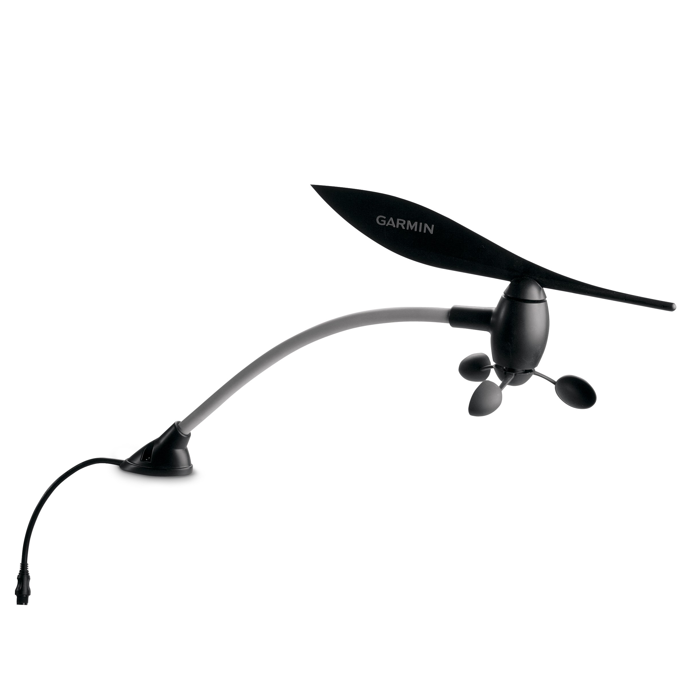
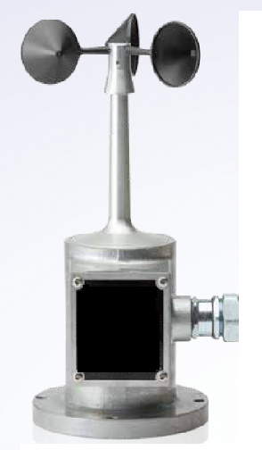
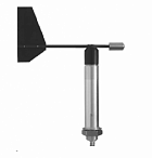
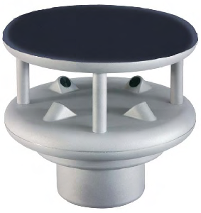
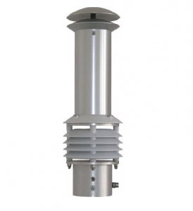
The Garmin GWS 10 Wind Sensor is a marine wind sensor, also known as a minimeteostation. It informs about the wind speed, its direction, air temperature and atmospheric pressure at the location of the vessel. The sensor uses a weather vane to determine the direction of the wind and an anemometer to measure its speed. This makes it possible to increase the efficiency and speed of the vessel when setting sails, taking into account the exact wind parameters.
The device also measures atmospheric pressure and air temperature. When connected to other sensors, it provides additional data such as wind relative to the ground and true wind, VMG wind and heading direction.
The Garmin GWS 10 wind sensor does not require complicated installation, as data is transmitted via cable and the NMEA 2000 bus, which is also used to power the device. It can be connected to Garmin GMI 10 universal marine indicators, GPSMAP 4000 and 5000 series marine chartplotters with touch screen, as well as to any chartplotters and displays compatible with NMEA 2000 format.
Technical specifications of the Garmin GWS 10 wind sensor:
weight: 0.275 kg;
Dimensions: 500 x 280 x 140 mm;
Power supply: 9-16 V DC;
Operating temperature: -15 C to 70 C.
Analogues
 +7 (812) 4-673-673
