ENG
Furuno GS-100
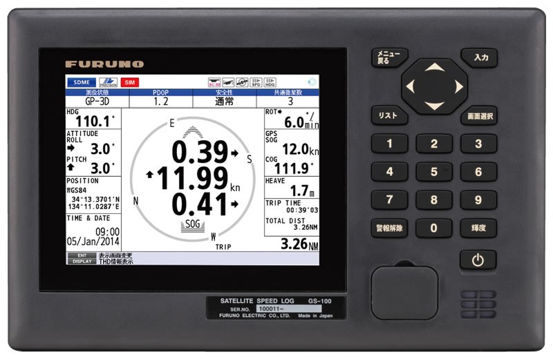
The Furuno GS-100 satellite log provides high accuracy of speed measurement, which is especially useful when mooring and docking ships. It is able to accurately measure slow speeds with an accuracy of ± 0.02 kN, which greatly facilitates maneuvering when approaching the berth.
GS-100 fully complies with SDME (Speed and Distance Measuring Device) (IEC 61023) and THD (Remote Course Transmission Device) (ISO 22090-3) standards. It can determine the lateral velocity in any position of the vessel using the built-in satellite compass. In addition, it provides roll, pitch and angular velocity information that can be used by navigation equipment such as radar, ECDIS and AIS. This improves the safety and efficiency of navigation by providing accurate data on the position of the vessel.
The GS-100 is also capable of measuring longitudinal velocity and transverse velocity in two positions. It is equipped with a 5.7-inch color LCD display and a compact antenna unit that is easy to install. The user interface is intuitive, allowing the operator to easily navigate through the menu using the cursor or number keys associated with menu items.

Available for order
Furuno GS-100
to order
Call our sales manager
Documentation:
 Measuring distances and time
Distances at sea are measured in nautical miles. When measuring distances on a map, use the latitude scales on the left and right edges of the map.
 +7 (812) 4-673-673
