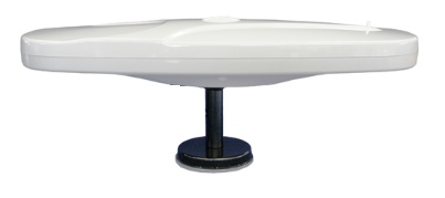
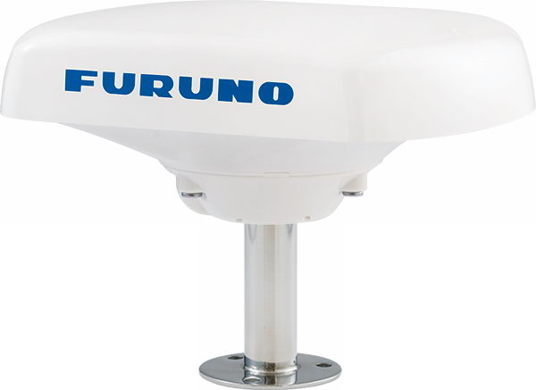
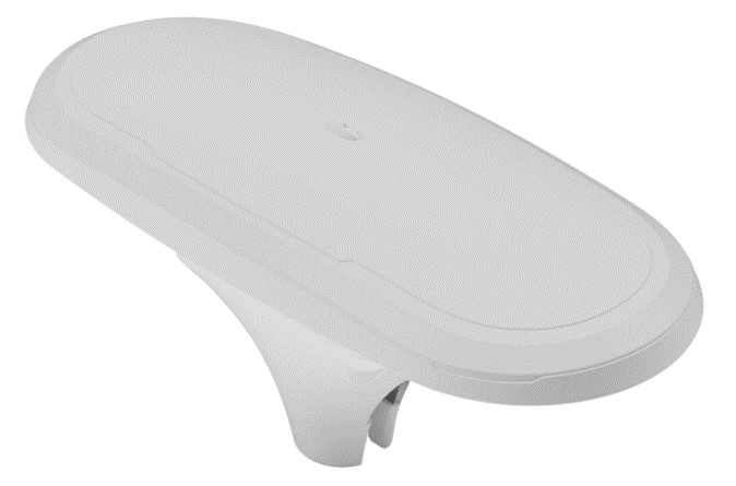
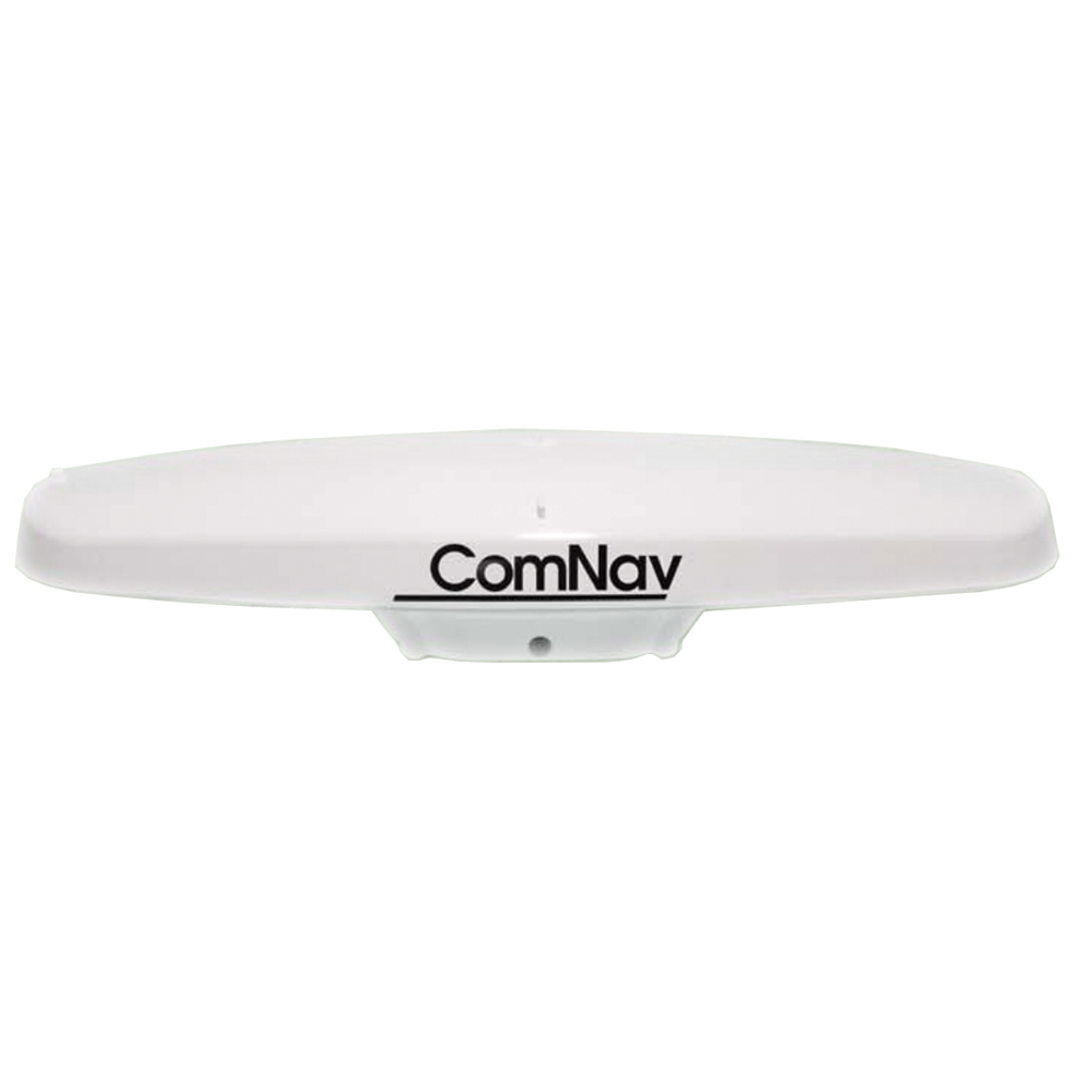
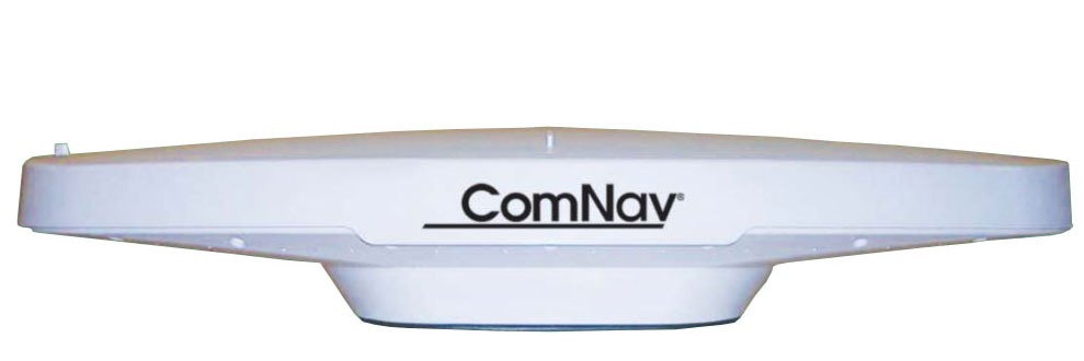
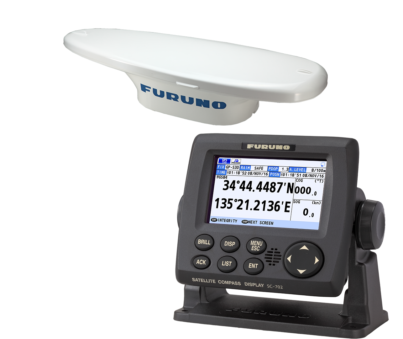
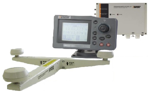
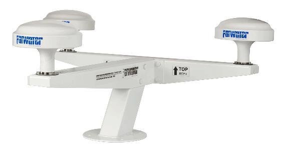
Transas T-702
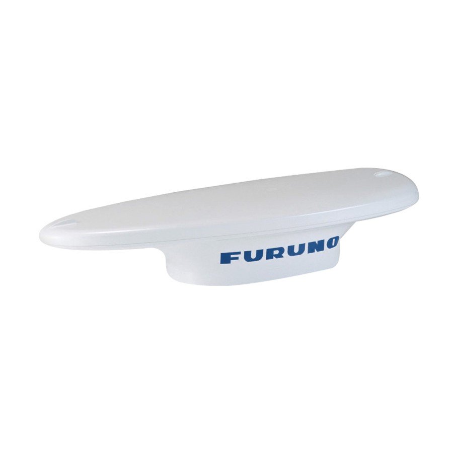
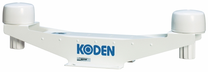
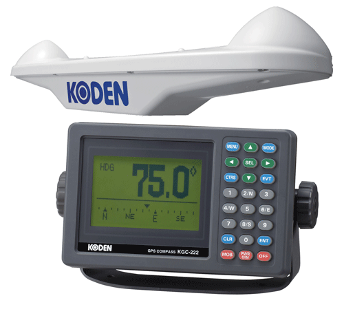
Transas T-702 is a combined compass and positioning system based on GPS, designed for navigation and other activities where you need to know exactly the location and developed tailored to meet the requirements of:
• Russian River Register ( RRR ).
• Technical regulations on safety of inland waterway transport (approved by RF Government Decree of August 12, 2010 N 623).
• Technical regulations on safety of maritime transport (approved by RF Government Decree of August 12, 2010 N 620).
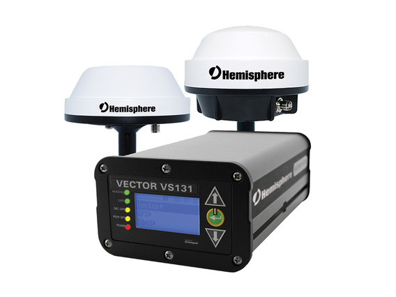
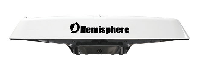
Satellite Compass T-702 is enclosed in a housing mounted easily and requires only one cable to exchange data and commands with the interface and power supply. system is based on technology and * Crescent * Crescent Vector II ', the characteristic features of which are:
• Dual built-in GPS antenna to improve the accuracy rate (0.75 ° RMS);
• Integrated DC power a wide range (6 to 36).
• uniaxial gyroscope;
• individual (inertial) sensors roll axes X and Y;
• Automatic tracking DGPS SBAS (NOTE);
• Technology * COAST, allowing the use of old data DGPS without compromising accuracy.
Additional Features :
- Refresh Rate: 10 Hz, additionally may be increased to 20 Hz to determine the location and direction of travel;
- Times to determine the position:
• Cold start (start where the GPS receiver performs a full download almanac (data from satellites, which ukazavyetsya approximate location of the nearest satellites). Such a start happening after the receiver has been off for more than a month off, or has been moved to considerable distance from the place where it was included in the last time (for example to another continent)): Less than 60 seconds (at a stationary receiver)• Warm start (this switch occurs after the receiver has been off for more than ~ 30 minutes since lost ephemeris (data on the exact position of satellites), but it remains relevant Almanov): Less than 20 seconds• Hot start (if the receiver has been off for less than ~ 30 minutes, and at the same time and ephemeris data almanaha relevant): Less than 1 second
- Maximum speed: 999 knots (1850 km / h)
Ports I / O connection
- Serial ports: RS-232C, RS-422 (ish) and NMEA-2000 (duplex)
- Transfer rate: 4800, 9600, 19200, 38400, 57600, 115200
- DGPS Interface: RTCM SC-104
- I / O Interface: NMEA-0183, Crescent, NMEA-2000 (CAN)
| Supplied | |
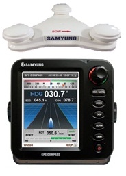
| GPS compass (indicator and antenna) | T-702 |
Mounting kit
|
880-1036-000J |
| Instruction manual | UM-T702-1 |
| Digital Repeater | UDR-6S |
Analogues
 +7 (812) 4-673-673
