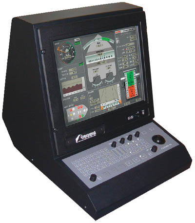
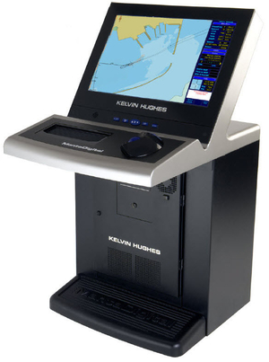
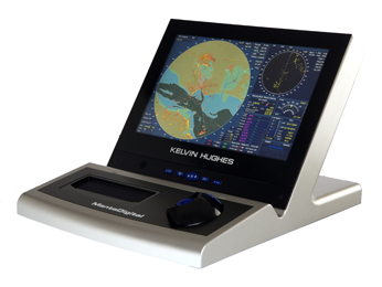
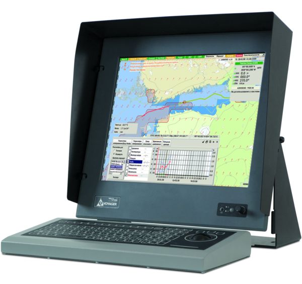
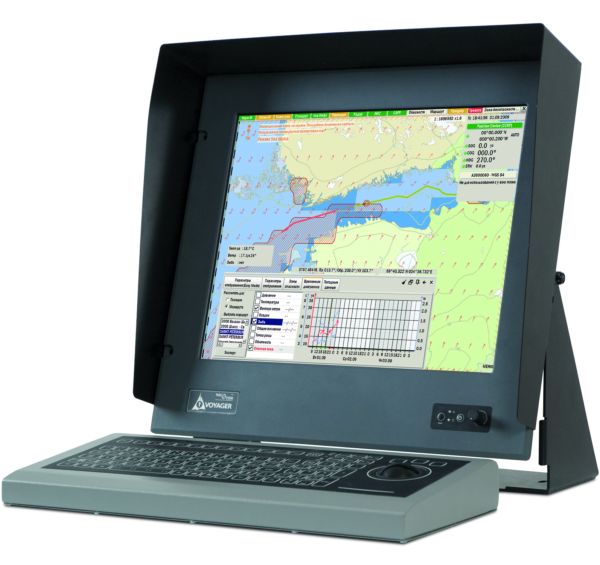
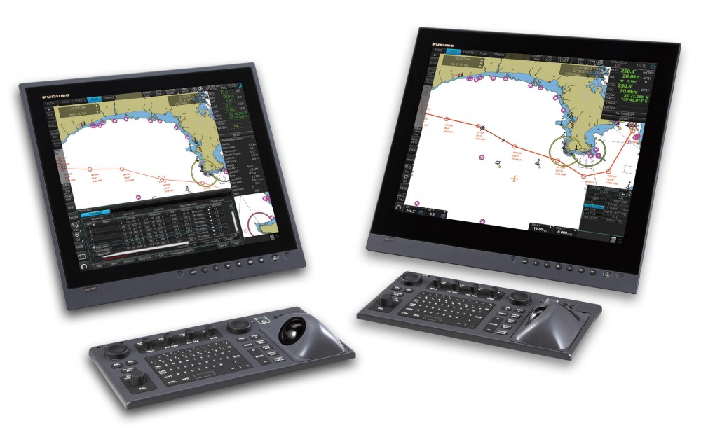
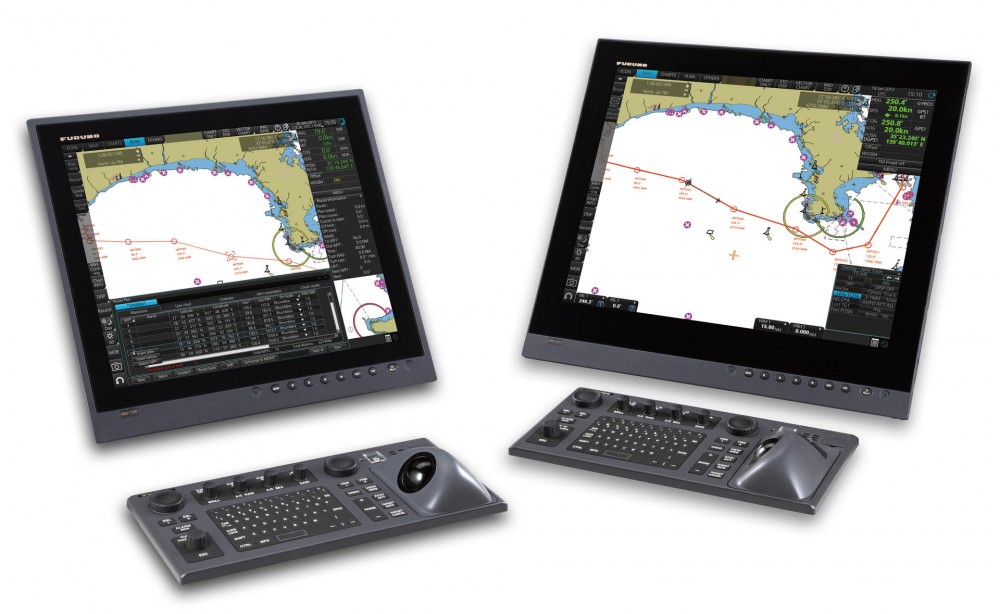
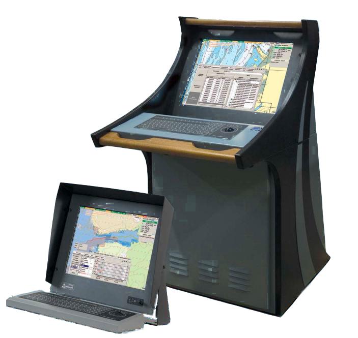
The display system Navi-CONNING 4000
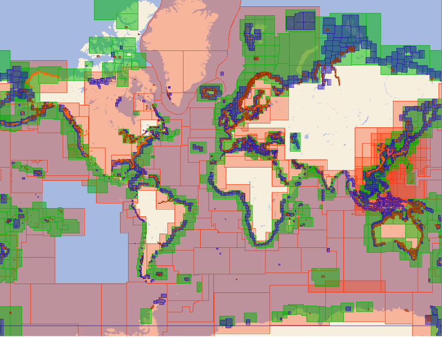
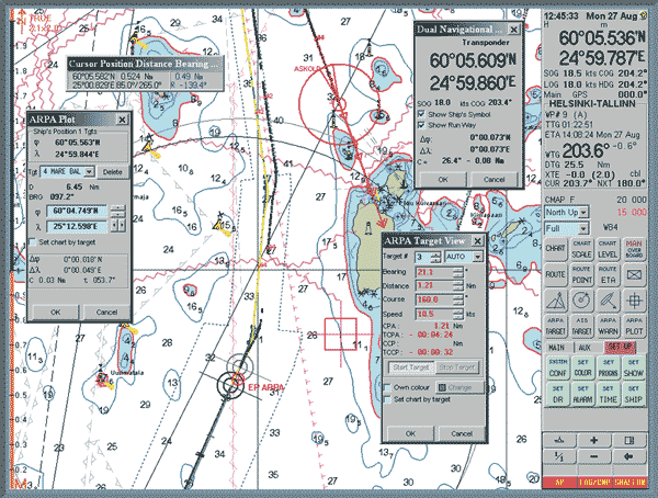
The Navi-CONNING 4000 electronic mapping system is a modern application for working with maps, including all the necessary tools for pre-routing. The main advantage of the system is that all digital data is managed within a single application, which also supports correction of paper maps and updates. The system allows you to set routes from port to port and from pier to pier.
The Navi-CONNING 4000 system supports various signaling interfaces, including NMEA ALR-ACK, analog/digital interfaces (WAGO), NS servers (network signals from NS ECDIS-I ver.4.00.xx) and internal signaling (Fail Communication), which is activated by default.
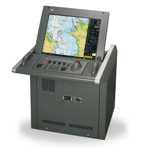
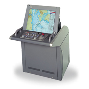
Analogues
 +7 (812) 4-673-673
