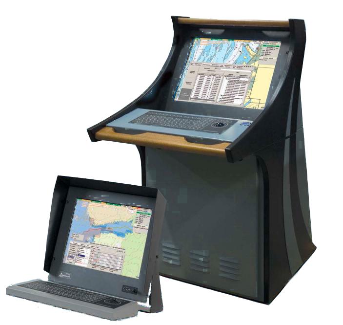
MANTADIGITAL ECDIS 26' DISPLAY
MANTADIGITAL ECDIS 26' DISPLAY
To order
Call our sales manager
Documentation
MANTADIGITAL ECDIS 26' DISPLAY
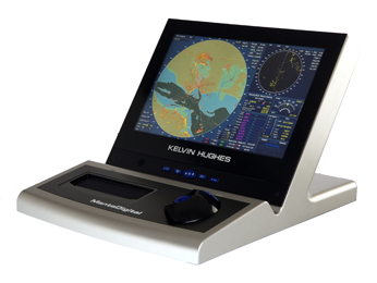
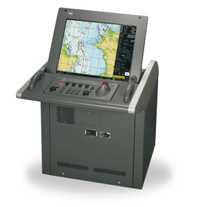
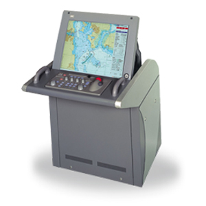
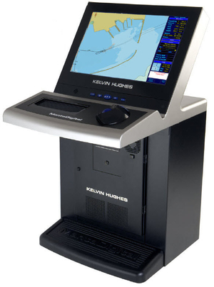
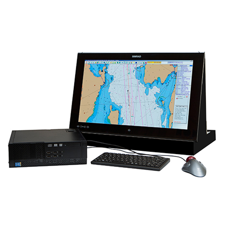
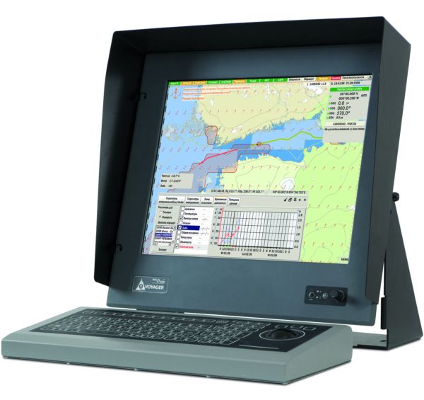
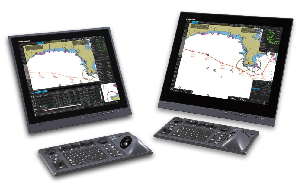
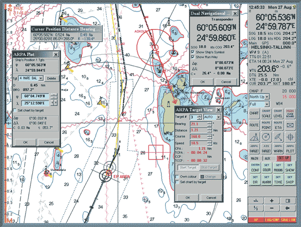
The electronic cartographic Navigation Information System (ECDIS) MANTADIGITAL ECDIS 26' DISPLAY is designed to enhance the safety and optimization of maritime transportation, providing continuous monitoring of the vessel's location. Thanks to the user-friendly user interface and clear presentation of critical information, the operator can make informed decisions that contribute to improving navigation safety. The MANTADIGITAL ECDIS 26' DISPLAY system, using sensor data and analyzing cartographic data, is able to issue audible warnings in case of critical situations or deviations from the specified safety parameters.
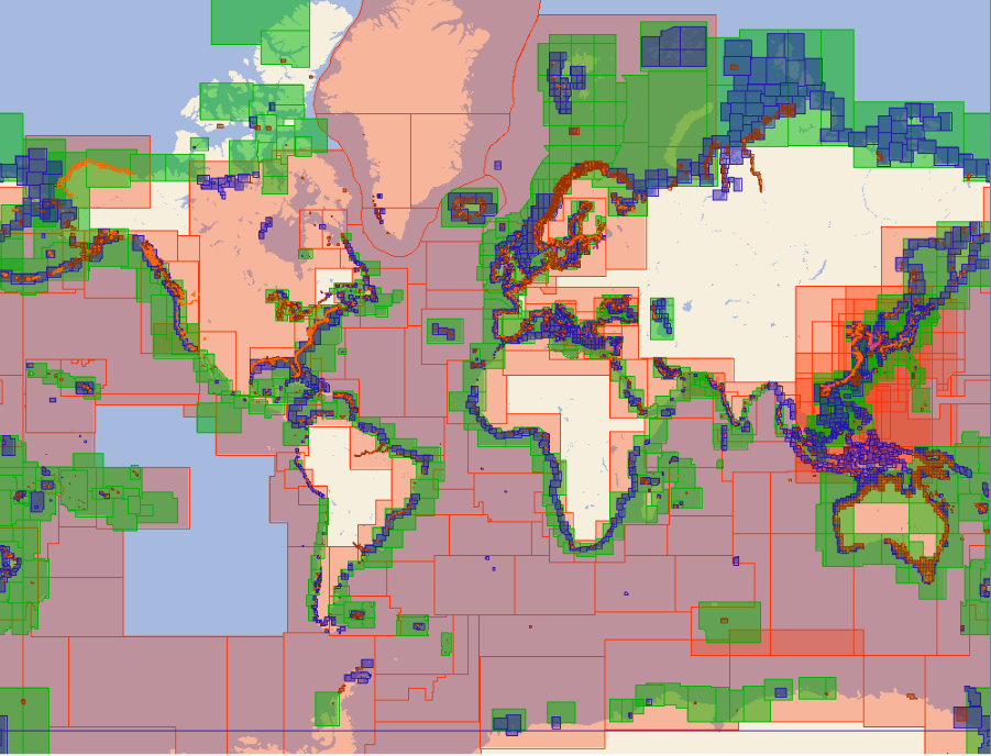
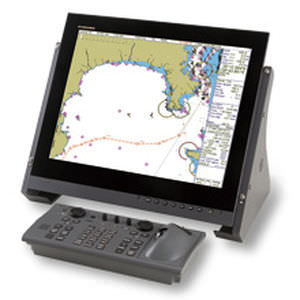
Equipped with a 26-inch color LCD display, the MANTADIGITAL ECDIS 26' DISPLAY system continuously displays navigation data such as bearing, distance and course. Route planning is performed by placing and moving waypoints on an electronic map. The electronic maps are updated via an e-mail broadcast or an Internet connection from the ChartCo service, which also provides additional data, including weather forecasts, routing and news. Updates can be transmitted directly to the MANTADIGITAL ECDIS 26' DISPLAY system via network connections or using CDs.
The electronic cartographic navigation and information system MANTADIGITAL ECDIS 26' DISPLAY is certified by the Russian Maritime Register of Shipping.
Technical specifications:
- Display Type: TFT Flat Panel
- Screen size: 26 inches (660 mm)
- Resolution: 1920 x 1200 pixels
- Aspect ratio: 16:10
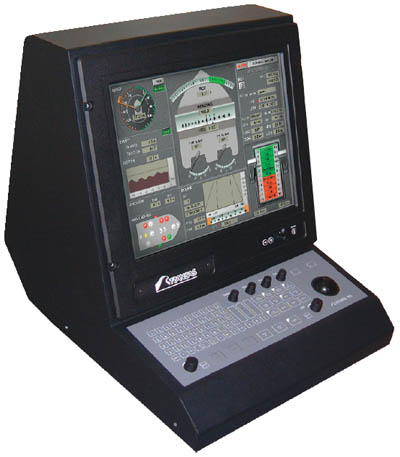
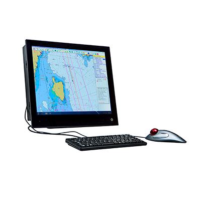
- Display delivery options: Desktop, Console and BridgeWing (Internal)
- Supply voltage: 110V/240V DC 50/60Hz
Analogues
 +7 (812) 4-673-673
