Lowrance HDS-7 Gen3
Lowrance HDS-7 Gen3
To order
Call our sales manager
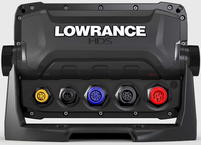
Dimensions and Mounting HDS-7 GEN3
HDS-7 Gen3
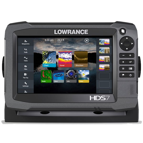
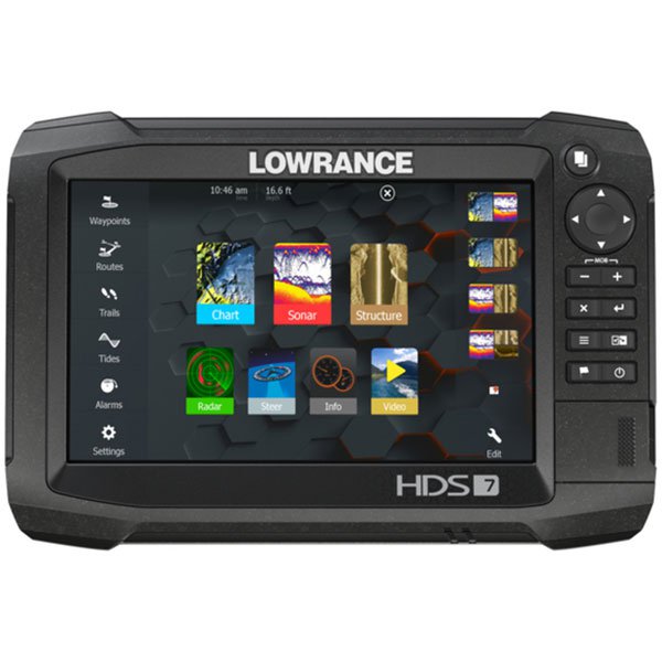
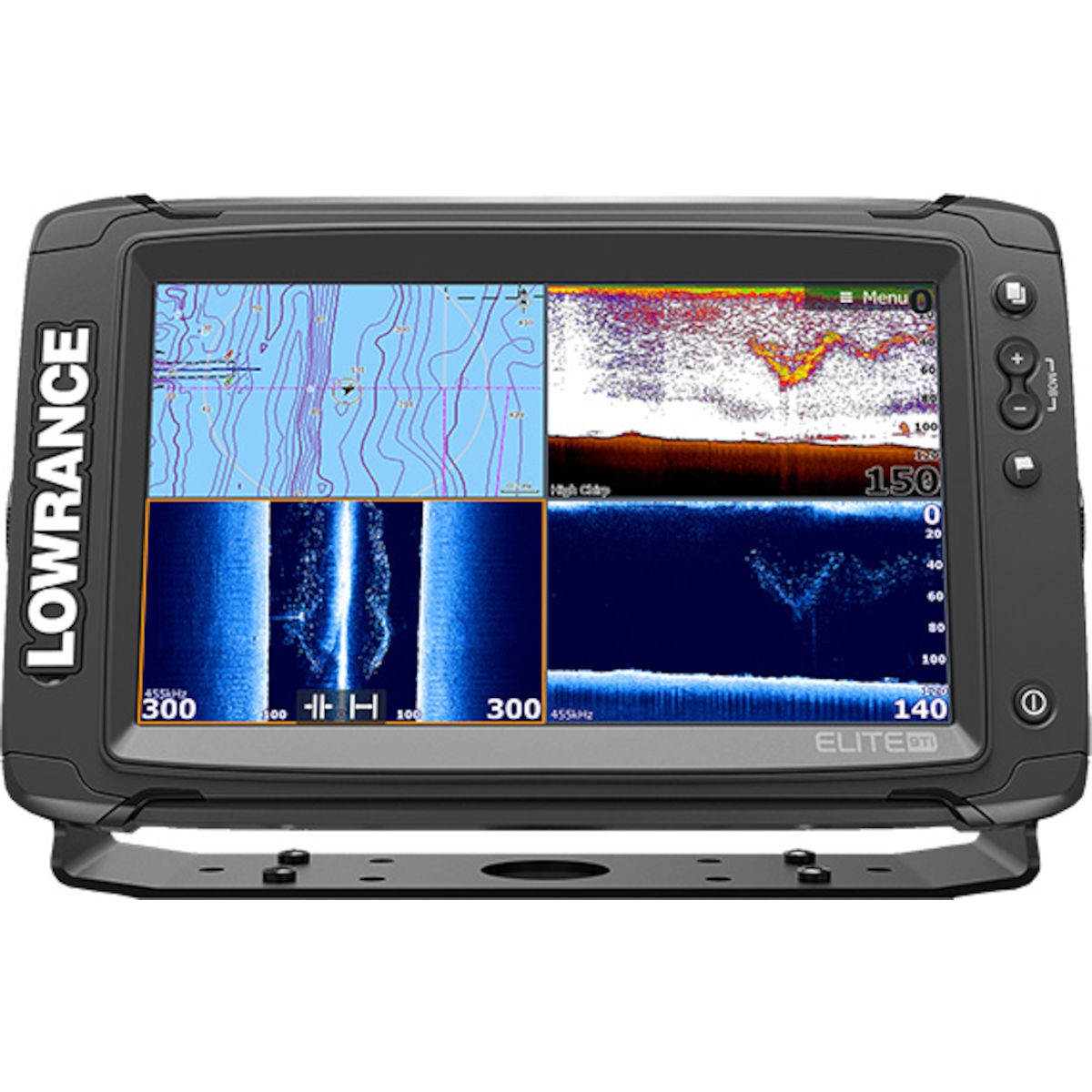
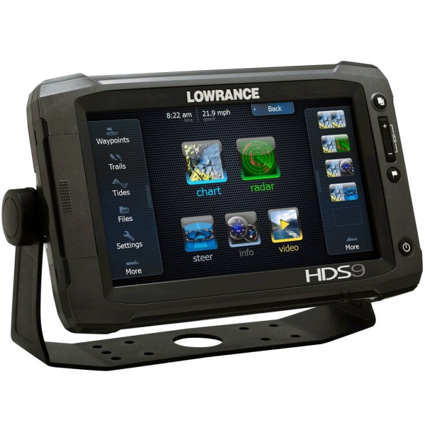
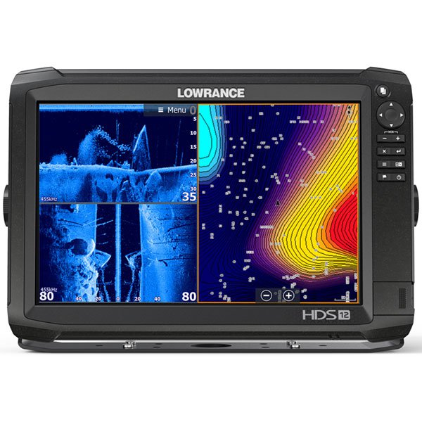
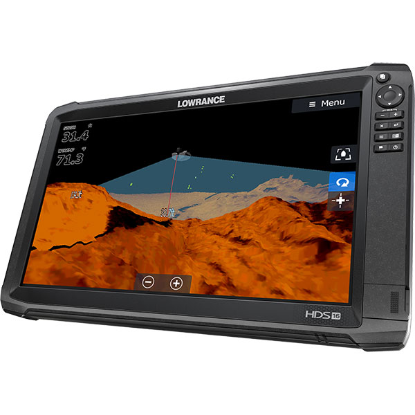
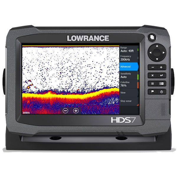
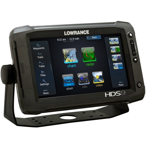
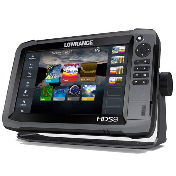
High-tech echo sounder Navigator (series HDS-7 Gen3). Equipped with a display with user-friendly interface, built-in GPS antenna operating at a frequency of 10 Hz. Easy to use. Easy display is a color high resolution. Display size 7 inches.
Quick setup with an enhanced, faster processor and intuitive user interface features-including scrolling menus, cursor, bind to the markers settings and innovative preview panes with quick bands of the slider.
The process of finding fish much easier due to the presence in the device of all relevant technologies. Thanks to the technology Fishinder have the opportunity to look at the fish from below and the side of your vessel.
Thanks to the integrated wireless connection with the free app LowranceGoFree and other on-Board devices can be viewed and controlled wirelessly using supported tablets and smartphones.
Connects and communicates with multifunction displays HDS Gen2 Touch and HDS Gen2.
Features
|
Diagonal |
7 inch |
|
Resolution |
800 x 480 |
|
The display backlight |
LED |
|
Display type |
WVGA color TFT LCD |
|
Dimensions |
215x146x84 mm |
|
Water resistant |
IPX7 |
|
Power |
500 watts RMS |
|
Voltage range |
12 In the post. current (10B min - max 17V post. current) |
|
Languages |
31 |
|
NMEA input/output |
NMEA 0183, NMEA 2000 |
|
Sounder |
DownScanImaging™: Max. 300 ft / 91 m @ 455 KHzCHIRP sonar High range/200 kHz: 1,000 ft / 305 m |
|
The maximum depth |
CHIRP sonar Medium range/83 kHz: 1000 ft / 305 m |
|
Sound alert |
Yes |
|
Display of water temperature |
Yes |
|
Emitter type |
Multiple selections Lowrance and Airmar® |
|
Waypoints favorites Locations |
5000 |
|
Routes |
20 |
|
Type of receiver/antenna |
Built-in, Ultravioletly GPS+WAAS antenna 10Hz |
|
Track |
200 tracks, up to 5 000 points/track |
|
Base map |
Yes |
|
Support cartography |
Navionics® Gold, C-Map Max-N and Insight Genesis |
Analogues
 +7 (812) 4-673-673
