 +7 (812) 4-673-673
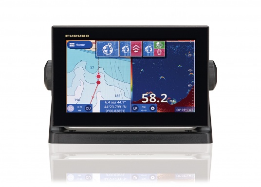
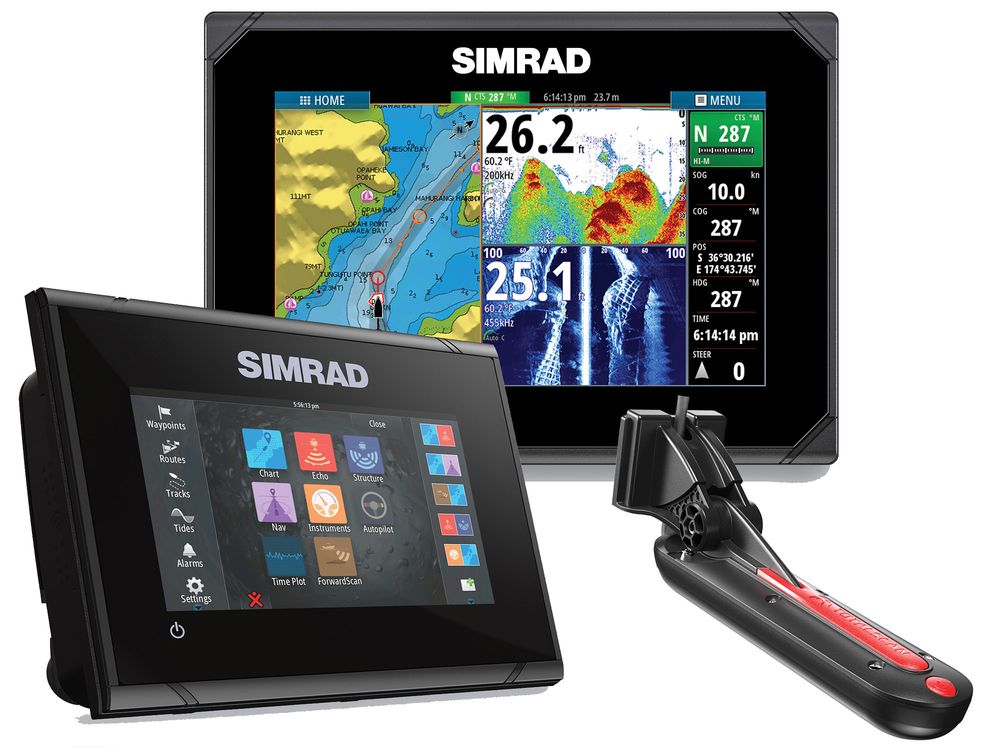
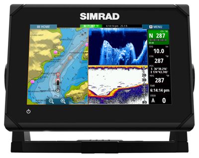
SIMRAD GO9 XSE
SIMRAD GO9 XSE
To order
Call our sales manager
Operator Manual GO XSE


SIMRAD GO9 XSE with TotalScan sensor Skimmer is an excellent sounder, which is suitable for sports boats, yachts, boats. It has built-in support for Simrad Broadband Radar ™ and the Halo ™ radar system. The device is equipped with built-in GPS and GoFree® Wi-Fi modules. The echolocation data is displayed on a super-bright 9 "widescreen display with touch controls.
The device easily integrates with any modern smartphone or tablet. With the help of GO 9 XSE, you can easily take advantage of the sonar system, which allows you to build waterways, easily bypass obstacles and with an accuracy of finding large concentrations of fish. The device can be installed on a flat, flat surface, or fixed using a mounting bracket. It has a simple and intuitive interface, so even a beginner will need very little time to learn it.
Features
- high sensitivity of the touch screen;
- excellent readability of the display even on a sunny day;
- multifunctionality;
- Support for maps Insight, Navionics, CMAP;
- when buying immediately has a base map of the world;
- Improved software for building water routes;
- built-in Wi-Fi module;
- two microSD memory slots;
- compatible with NMEA 2000®.
Specifications:
- Operating frequencies +83 / 200/455 / 800 kHz, Medium / High CHIRP
- Maximum detection range: 455 kHz ─ 182 m, 91 m on each side; 800 kHz ─ 60 m, 30 m on each side
- Maximum speed: 56 km per hour (connection to the bottom)
- Marking of objects: 24 km per hour (distinguishes objects)
- Optimum speed: 16 km per hour or less (maximum possible visualization)
- Screen size 9 "/ 12.7 cm
- 800 x 480 screen resolution
- Depth 305 m
- Waterproof level IPX7
- Power supply 12 VDC (10-17 vDC min-max)
- Media port 1 high-speed microSD slot
Other category products
-
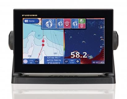
Furuno GP-1971F
-
Furuno GP-1871F
-
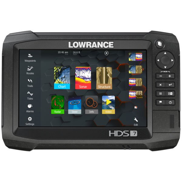
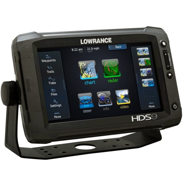
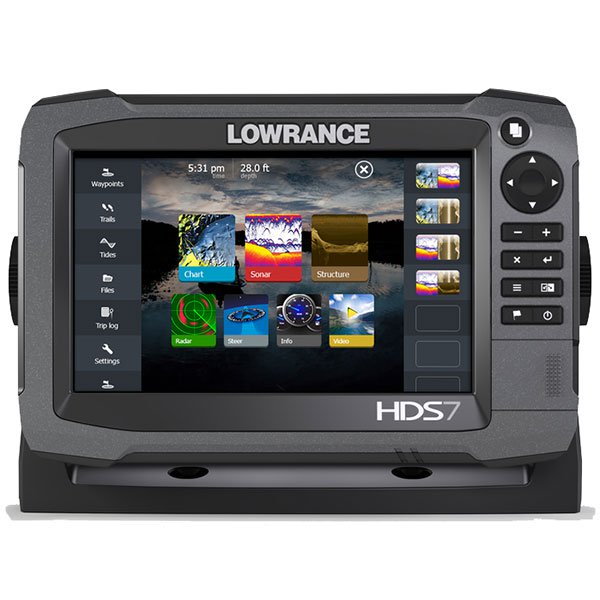
Lowrance HDS-7 Carbon
-

SIMRAD GO5 XSE with Totalscan
-
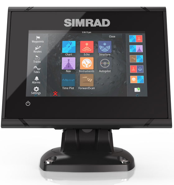
SIMRAD GO5 XSE
-
SIMRAD GO7 XSE with Totalscan
-
SIMRAD GO7 XSE
-
Lowrance Elite-12Ti TotalScanTransducer
-
Lowrance Elite-9Ti Mid/High/TotalScan
-
Lowrance Elite-7Ti Mid/High/TotalScan
-

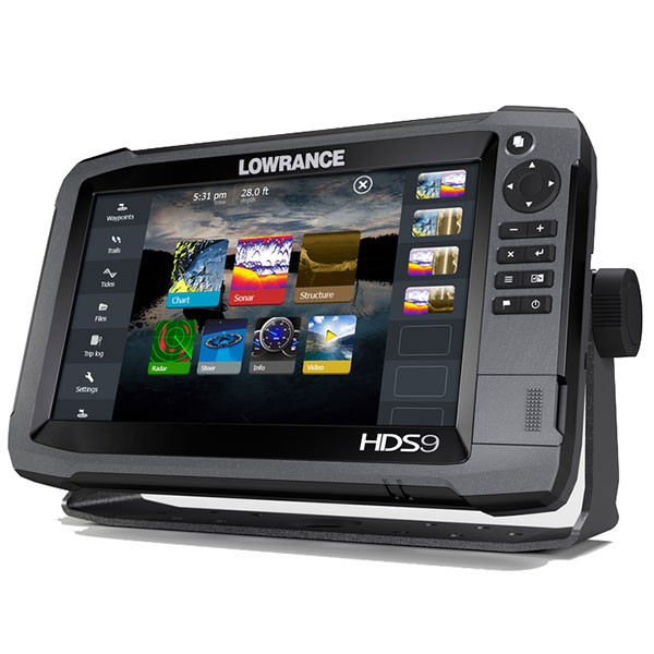
Lowrance HDS-9 Carbon
-
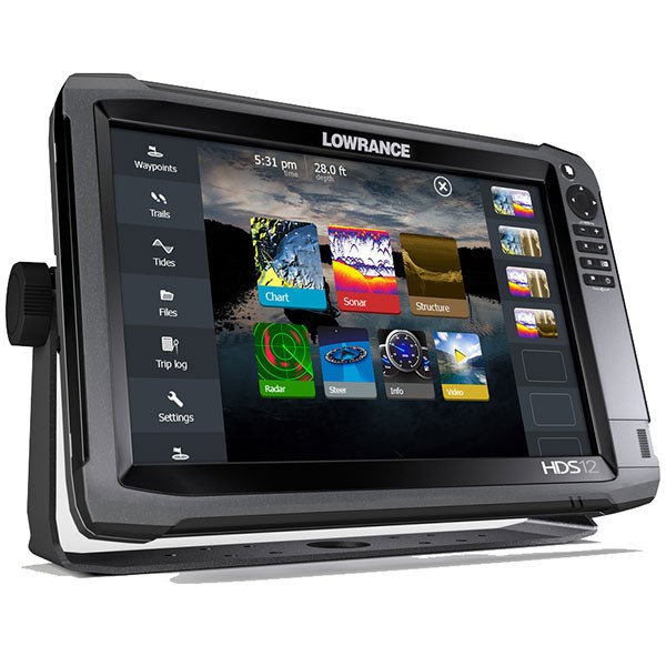
Lowrance HDS-12 Carbon
-
Lowrance HDS-16 Carbon
-
Lowrance HDS-7 Gen3 ROW with StructureScan Transducer
-
Lowrance HDS-9 Gen3 ROW with StructureScan Transducer
-
Lowrance HDS-7 Gen3
-
Lowrance HDS-9 Gen3
-
Lowrance HDS-12 Gen3