Lowrance HDS-7 Carbon
Lowrance HDS-7 Carbon
To order
Call our sales manager
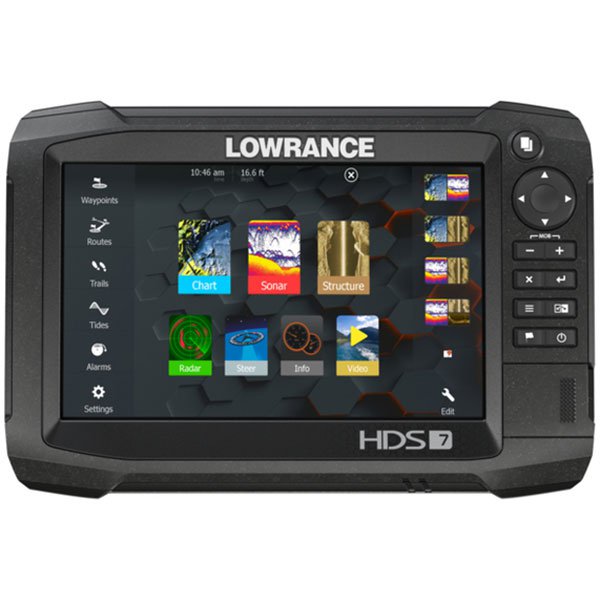
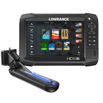
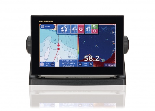
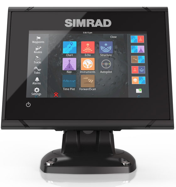
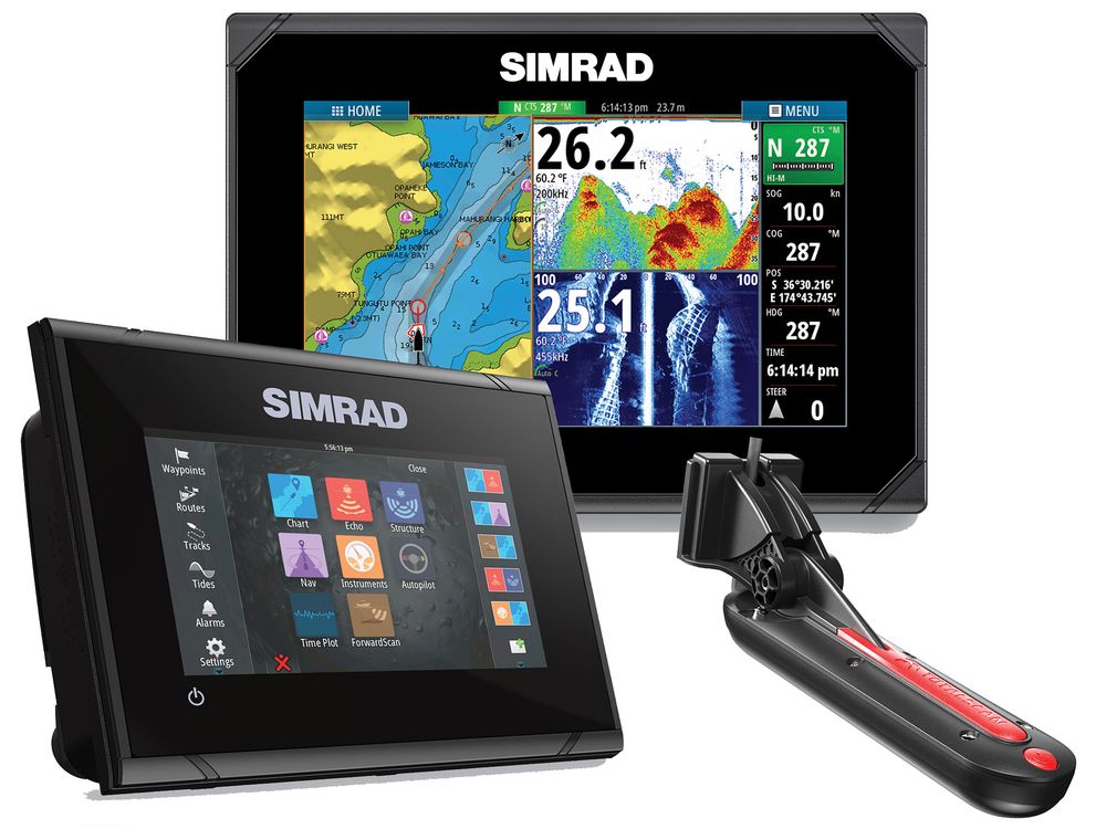
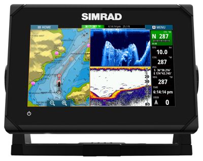
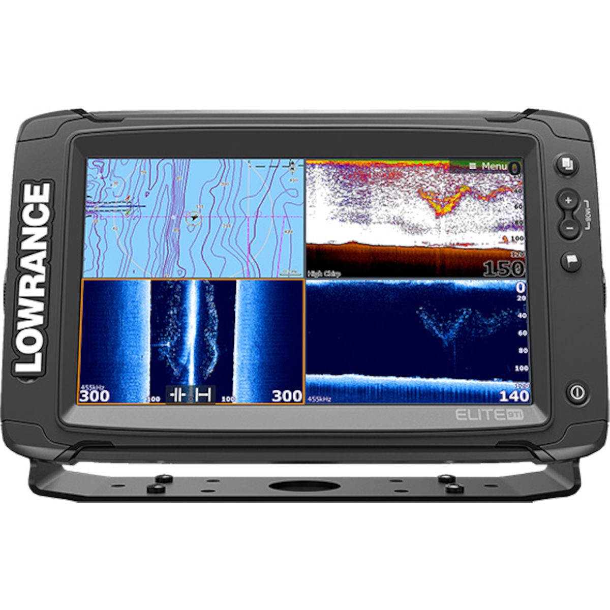
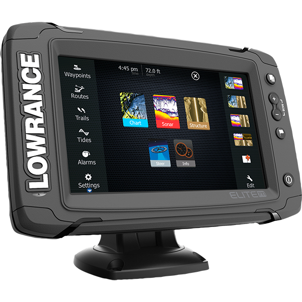
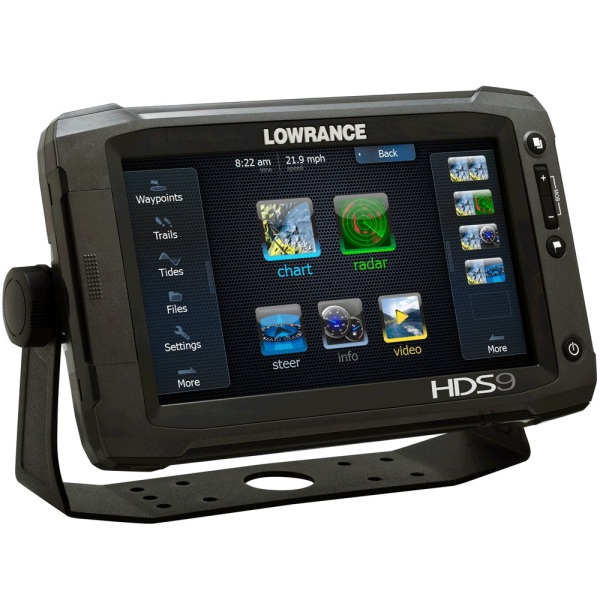
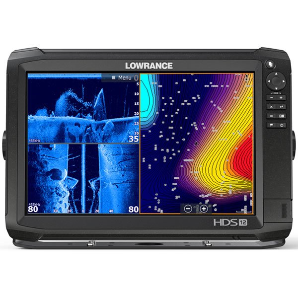
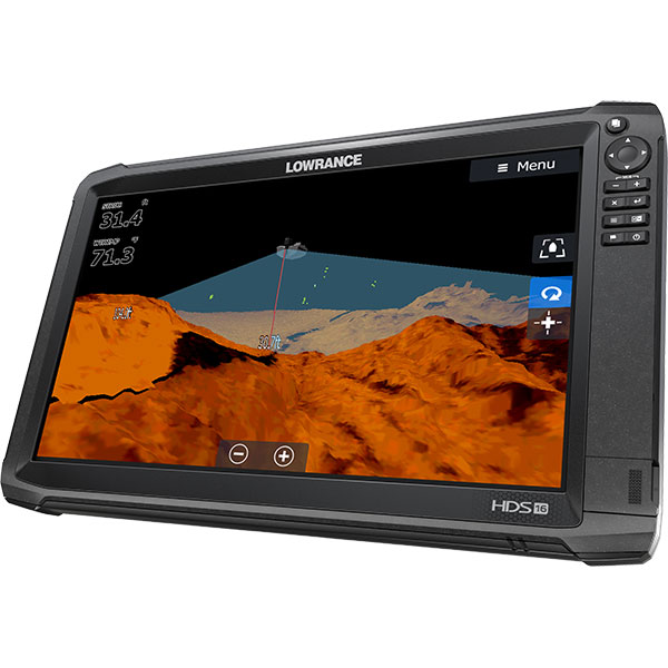
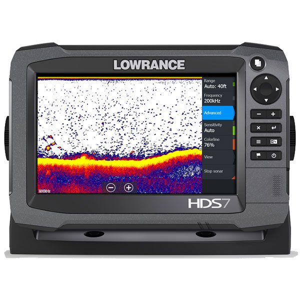
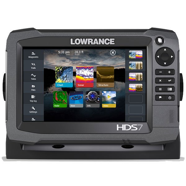
Lowrance HDS-7 Carbon - is a echosounder-navigator. The device includes a 7 '' high-resolution color touch screen, a powerful processor, CHIRP sonars, Broadband Sounder ™, StructureScan® HD, DownScan Imaging ™. It features an intuitive user interface, screen scrolling capability, an auxiliary cursor, the ability to link to installed markers and innovative viewing panels with touch sliders and the Trackback ™ feature. The built-in WI-FI module allows you to connect to other devices on the board, and the Lowrance GoFree App application will help you to control the selected HDS Gen3 chartplotter / chartplotter from smartphones or tablets.
Using the cloud service GoFree you can purchase, download and immediately use Insight cards, as well as maps from GoFree partners directly from the HDS display. With the Insight Genesis service, it is possible to download the echo sounder log, the most modern personalized contour maps and share your maps with the social community of the Insight Genesis Social Map from your device.
- Plug-and-play compatibility with other Lowrance devices.
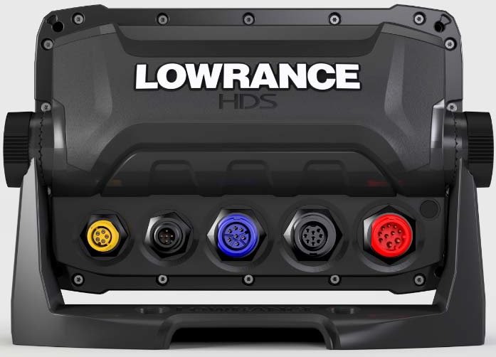
- Ethernet port, NMEA 2000® support, video input with optional adapter cable.
- Mounting flush mount, compatible with models HDS-7 Gen2 Touch.
- Extended service program Lowrance, built-in GPS antenna with a refresh rate of 10 Hz. Supports WAAS / EGNOS / MSAS adjustments.
- Width 8.48 "/ 215.4 mm
- Height 5.76 "/ 146.3 mm
- Depth 3.47 "/ 88.2 mm
- Waterproof level IPX7
- Power supply 12 VDC (10-17 vDC min-max)
- Media port 2 high-speed microSD slot
- Languages 36, regional language packs are available, Russian is available
- Network connection NMEA 0183, NMEA 2000
- Operating frequency 50/83/200 kHz Broadband (Low / Mid / High CHIRP) 455/800 kHz SideScan / DownScan imaging
- Output power RMS (PTP) Max 500W RMS
- Type of transducer Multiple Selections Lowrance and Airmar
- Maximum depth of measurement is maximum 1524 meters depending on the sensor
- GPS-antenna Internal high-sensitivity WAAS / EGNOS / MSAS 10 kHz antenna (optional external antenna)
- Track recording Up to 100 tracks, up to 10,000 dots / track
- Cartography Navionics® Gold, HotMaps® Premium, Fishing Hotspots® PRO and C-Map Max-N +
- Routes 200
- Waypoints 5000
Analogues
 +7 (812) 4-673-673
