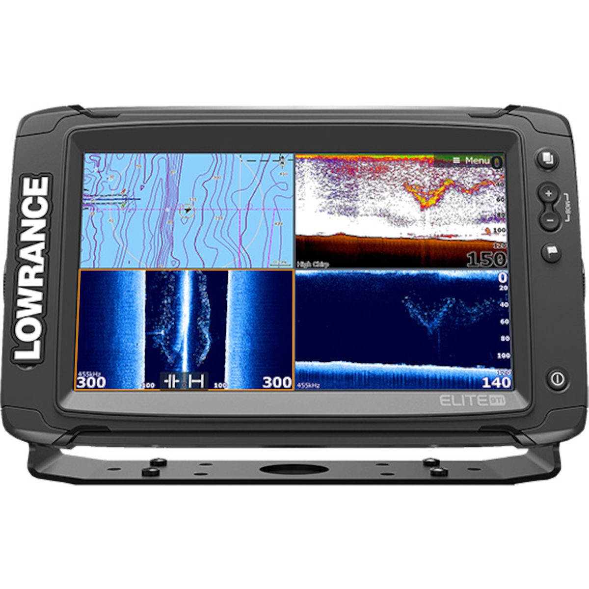
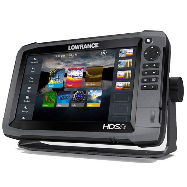
Lowrance Elite-9Ti Mid/High/TotalScan
Lowrance Elite-9Ti Mid/High/TotalScan
To order
Call our sales manager
Elite-9Ti Mid/High/TotalScan™
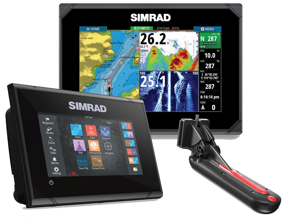
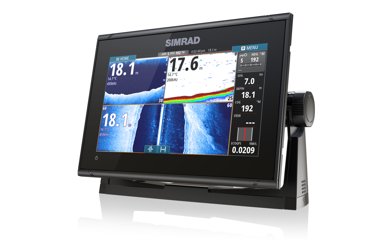
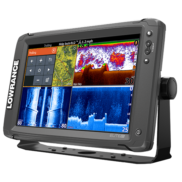
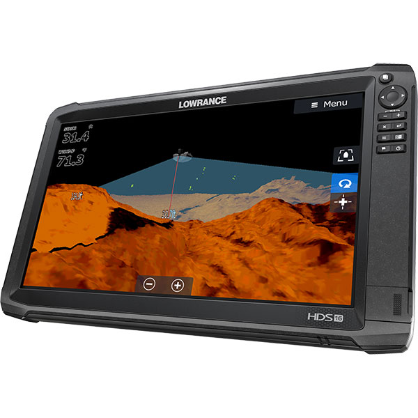
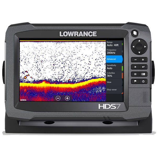
It sports a Fishfinder with 9-inch touchscreen display high-resolution led backlight that can be adjusted.Clear image of fish allows you to технологияLowranceDownScanOverlay, which displays the image on the screen. Also, the screen displays information about echolocation CHIRP. Used the most advanced fish-finder technology.
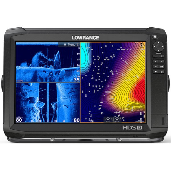
A clear image of the environment under the vessel is provided by hydroacoustic technologies. StructureScan® HD requires the installation of sensor TotalScan™.
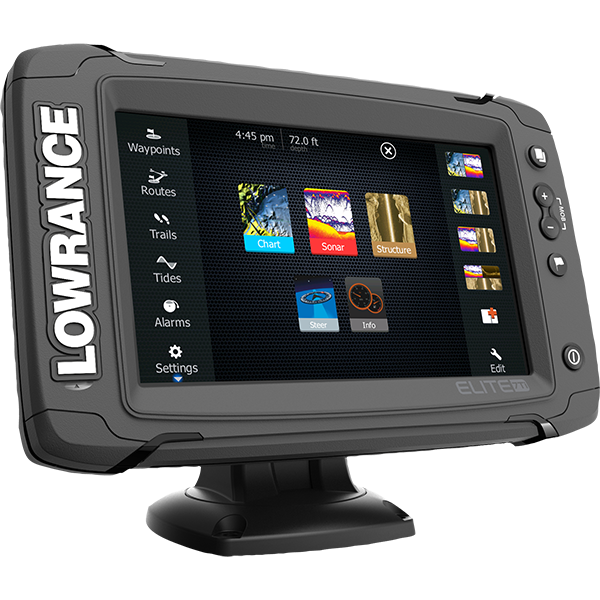
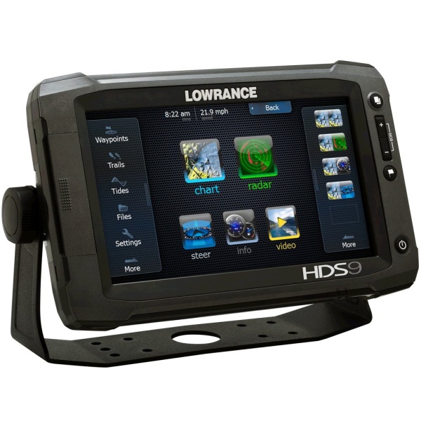
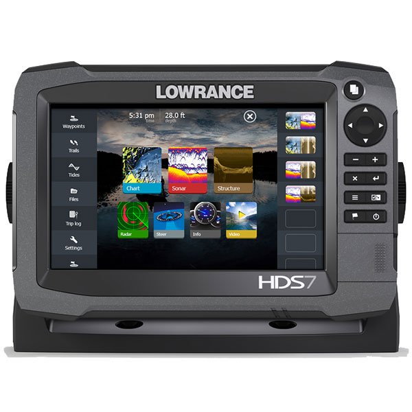
The built-in menu provides accuracy and ease of use the Availability of wireless connectivity and Bluetooth.
Among the features of sounder are allocated alarms on the rocks, depth, temperature,GPSоповещения. The ability to download software updates to the device.
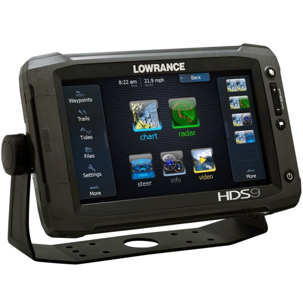
Thanks to the built-in C-MAP cartography navigation has become accurate and easy.
Also, inner high-sensitive GPS antenna (10 kHz) gives a high positioning accuracy with the possibility of further refinement through the data in the coverage area.
Specifications
|
Width |
6,332" \ 160,83 mm |
|
Height |
8,641" \ 219,48 mm |
|
Depth |
2,507" \ 63,68 mm |
|
The level of water resistance |
IPX7 |
|
Food |
12 vDC (10-17 vDC min-max) |
|
Media port |
1 high speed microSD |
|
Languages |
31, available in regional language packs Russian is |
|
Network connection |
Optional NMEA 0183, NMEA 2000 |
|
Guarantee |
18 months |
|
Technical characteristics of the screen |
|
|
Screen size |
9"/ 22.8 cm |
|
Screen resolution |
800 x 480 |
|
Display type |
WVGA color TFT LCD |
|
The backlight levels |
Custom backlit screen and buttons |
|
Backlight |
11 levels LED |
|
Split screen |
4 Windows |
|
Technical characteristics of the sounder |
|
|
Rabotayet |
50/83/200 kHz Broadband (Low/Mid/High CHIRP) 455/800 кГцSideScan/DownScan imaging |
|
Output power |
RMS (PTP) Max 500W RMS |
|
Titanstower |
Multiple Selections Lowrance and Airmar |
|
The maximum depth of soundings |
A maximum of 91 meters (455/800 kHz ) / 305 meters (83/200 kHz ) / 762 meters (50/200 kHz) |
|
Technical characteristics of the Chartplotter |
|
|
GPS antenna |
Vnutrivlagalischnye WAAS/EGNOS/MSAS antenna 10 kHz |
|
Track |
Up to 100 tracks, 10,000 points/track |
|
Cartography |
Navionics® Gold, HotMaps® Premium, Fishing Hotspots® PRO and C-Map Max-N+ |
|
Routes |
100 |
|
Potawatomi |
3000 |
Analogues
 +7 (812) 4-673-673
