+7 (812) 4-673-673
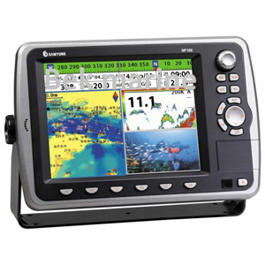
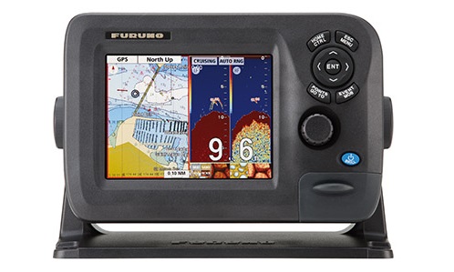
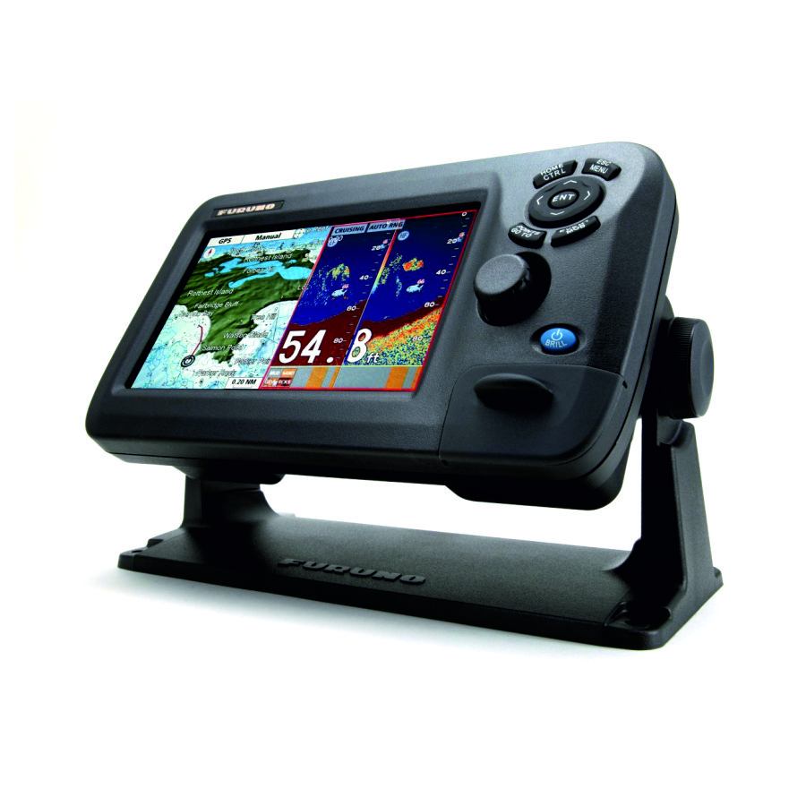
Chartplotter Samyung N5100
Chartplotter Samyung N5100
To order
Call our sales manager
Documentation
Буклет 'NAVIS-5100/F'

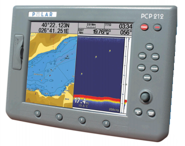
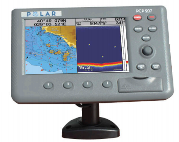
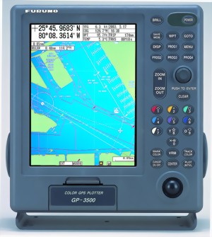
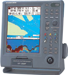
Chartplotter Samyung NAVIS-5100 is specifically designed for small boats and fishing vessels. NAVIS-5100F has an integrated dual frequency fishfinder.
The device is enclosed in a durable water-proof case to prevent damage to the exterior. NAVIS-5100 and NAVIS-5100F equipped with a large color display with a diagonal of 10.4 '. Echo conveniently displayed podnovremenno cards thanks to the vertical split screen. Plotter has a fully russifitsirovat menu.
On the back side of the monitor are connectors for connecting the receiver antenna GPS, power cable, transducer (only for NAVIS-5100F), port, and other navigation data. On the front of the monitor are two ports for electronic navigational charts standard C-MAP NT +. Plotters can easily be mounted on a desktop or embedded in the console.
Specifications Samyung NAVIS-5100:
GPS receiver: 12 Channels
Update Time 1 second anchor location
Display Size 10.4
Waypoints 1000
Number of routes 20
The capacity of the track log (Tracklog) 20000 points
Electronic maps C-MAP Nt, NT +, Max
Interfaces SAMYUNG, NMEA0183, FURUNO (CIP), JRC
Frequency Sonar 50/200 kHz
Depth of 1500 m
The waterproof IPX7
Unit dimensions 343x244x105 mm
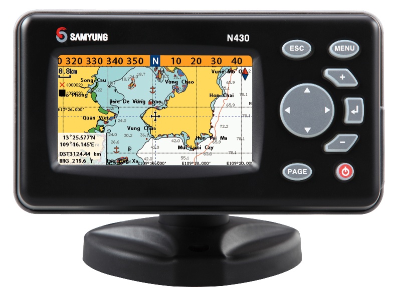
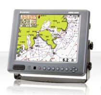
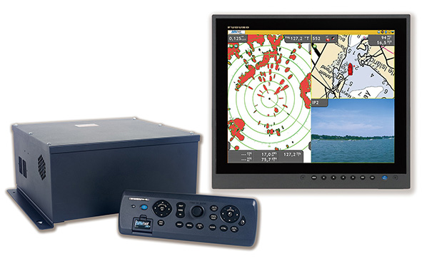
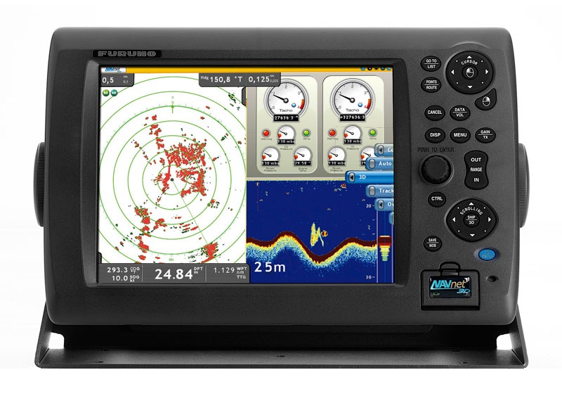
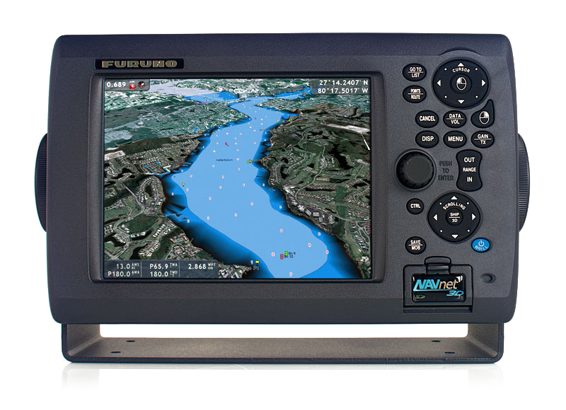
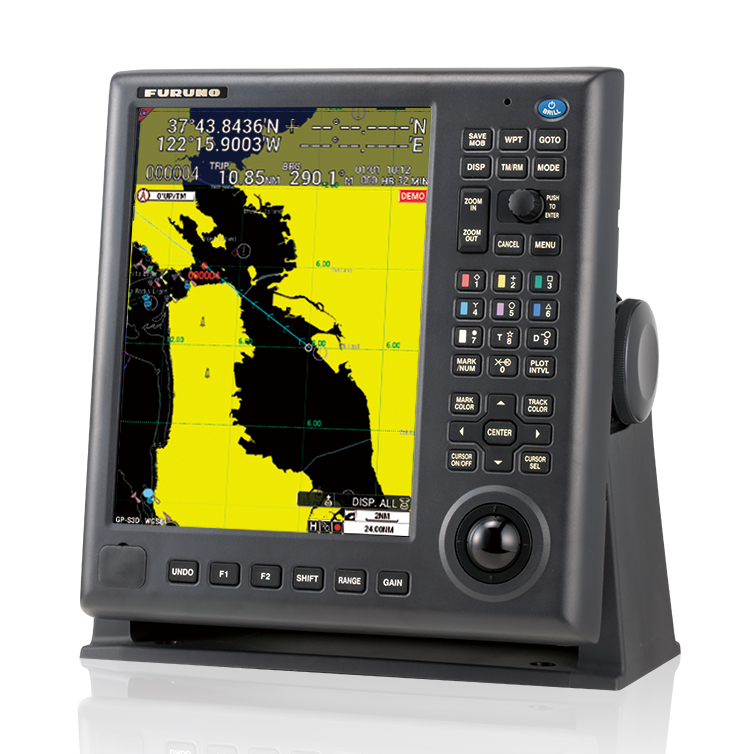
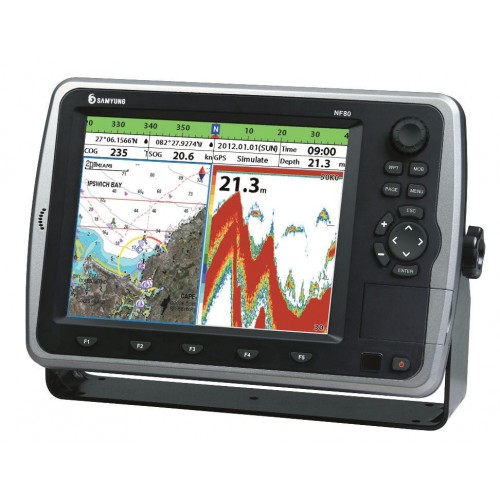
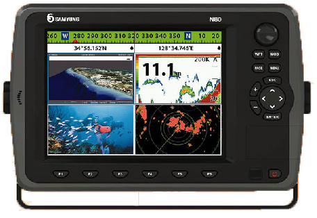
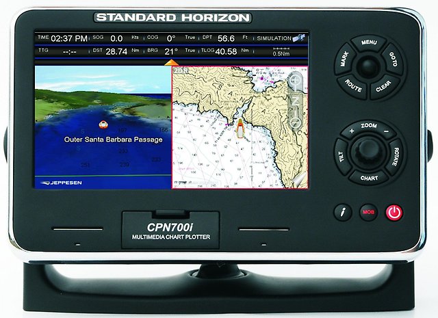
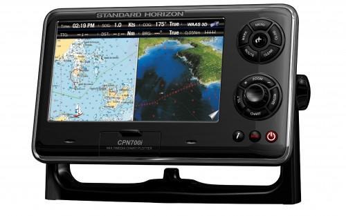
Analogues