+7 (812) 4-673-673
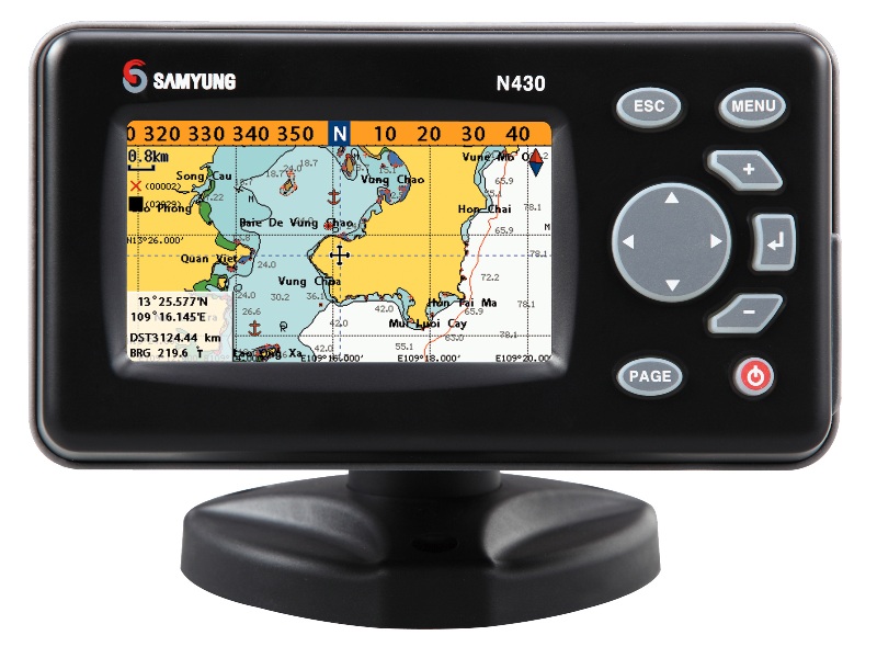
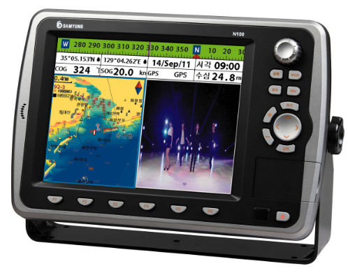
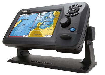
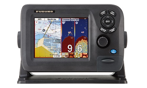
Samyung N-560

Chartplotter Samyung N-560, equipped with high-precision GPS receiver with support for electronic cartography C-Map, perfect for small marine and river of pleasure and fishing boats.
N-560 is equipped with a large color display and has intuitive menus. Plotter for NMEA 0183 and NMEA 2000 network connects VC ship and transmits information to other navigational instruments. Sam Samyung N-560 has an interface to display data from AIS and Navtex.
Key features:
- Multilevel system backlight
- Built-in GPS receiver
- Cartography C-MAP NT MAX
- The interface allows you to connect NMEA 0183 AIS, NAVTEX for displaying information on the display
- NMEA 2000 interface allows you to display information about the status of the main engine
Specifications:
- Power consumption: 350mA @ 13.82 min.; 480mA @ 13.82 max.
- Power supply: 10-34 In
- Interface: Input / Output NMEA-0183, NMEA-2000
- Display: 5.6'' TFT color
- Dispeya Resolution: 480 x 640 pixels
- Cartography: C-MAP NT + / MAX CD-CARD
- Operating temperature: -10 ° C / +50 ° C
- Storage Temperature: -10 ° C / +50 ° C
- Resistance to water: splashproof
- Memory: Permanent
- Keyboard silicone keypad with backlight
- Weight: 1600 g
- User points (markers): 10 000
- Routes: 100 (with a maximum of 100 points each)
- Maximum number of points: 10000
Other category products