Furuno NAVpilot-700
Furuno NAVpilot-700
To order
Call our sales manager
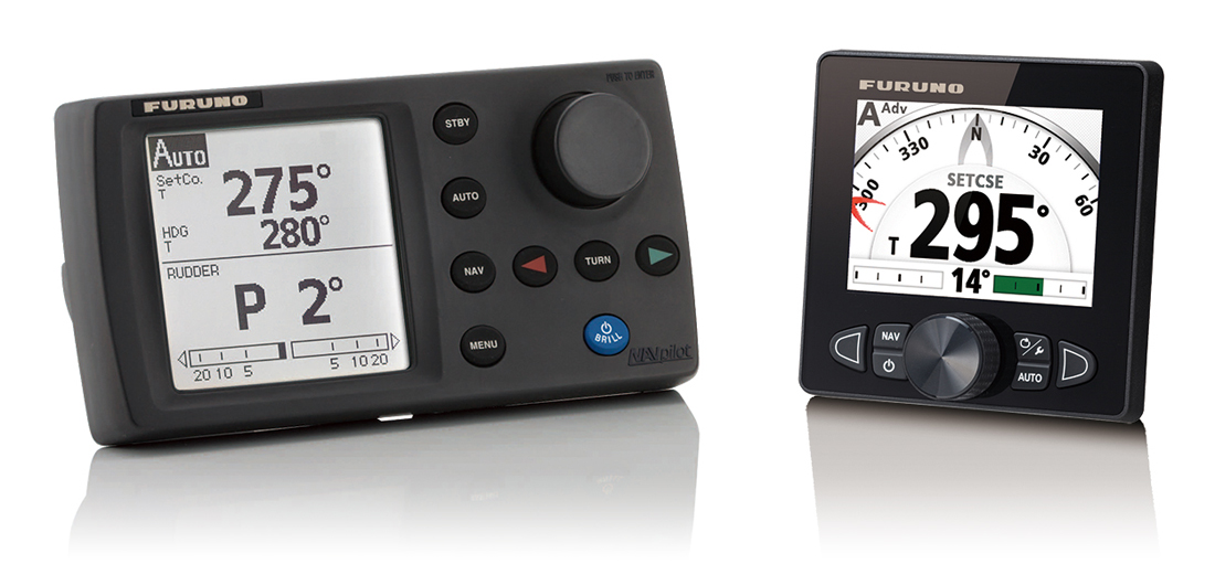
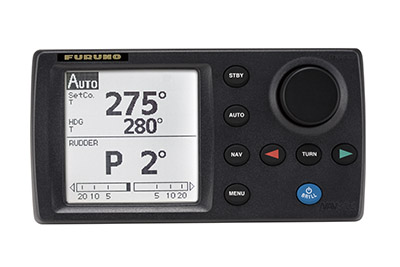
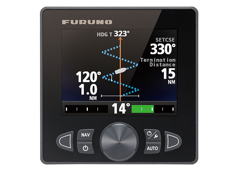
Furuno NAVpilot - 700-a set of equipment for automatic control of the vessel. It is suitable for installation on ships with a length of 20-80 feet (6-24 meters) with a maximum speed of up to 40 knots and is certified by the Russian Maritime Register of Shipping. The device includes a control unit with a monochrome display of 4.6 ".
The autopilot FURUNO NAVPILOT-700 has five main operating modes:
- Automatic - the set course is invariably maintained, but the actions of the current and the wind are not taken into account, as a result of this mode deviations from the course are possible;
- Automatic extended - compensates for wind and current effects;
- Taking into account the influence of the wind - supporting a certain course against the true or apparent wind, with compensating for wind and current actions (exclusively for sailboats);
- Navigation mode - keeps course on a given waypoint with compensation of the effect of wind and current;
- Follow the route - maintains a course on a combination of waypoints. The attainment of any point, including the final one, is marked by an audible and a light signal.
After installation on the ship and the first setting and until the end of the life of the NAVPILOT-700 will control the characteristics of the vessel, affecting the handling. Based on the monitoring data, the instrument will correct the auto-control taking into account the vessel's speed and load, current and wind, and other weather conditions. All received information is stored in the NAVPILOT-700 memory.
Specifications:
- Display 4.6 "Monochrome LCD display
- Effective Display Area 85.2 (W) x 85.2 (H) mm
- Number of pixels 160 x 160
- Backlight 8 steps
- Contrast 16 steps
- Control unit protection degree ip56
- Power supply 12-24 V DC: 4.0 - 2.0 A (without pump)
- Size 115 (H) x 220 (W) x 81 (e)
- Weight 0.62 kg
Analogues
 +7 (812) 4-673-673
