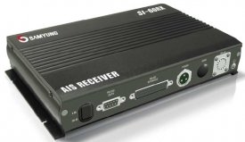
VEGA VG-3944 series
-
Available for order
-
Certificate:РМРС
VEGA VG-3944 series
To order
Call our sales manager
Manual VEGA VG-3944
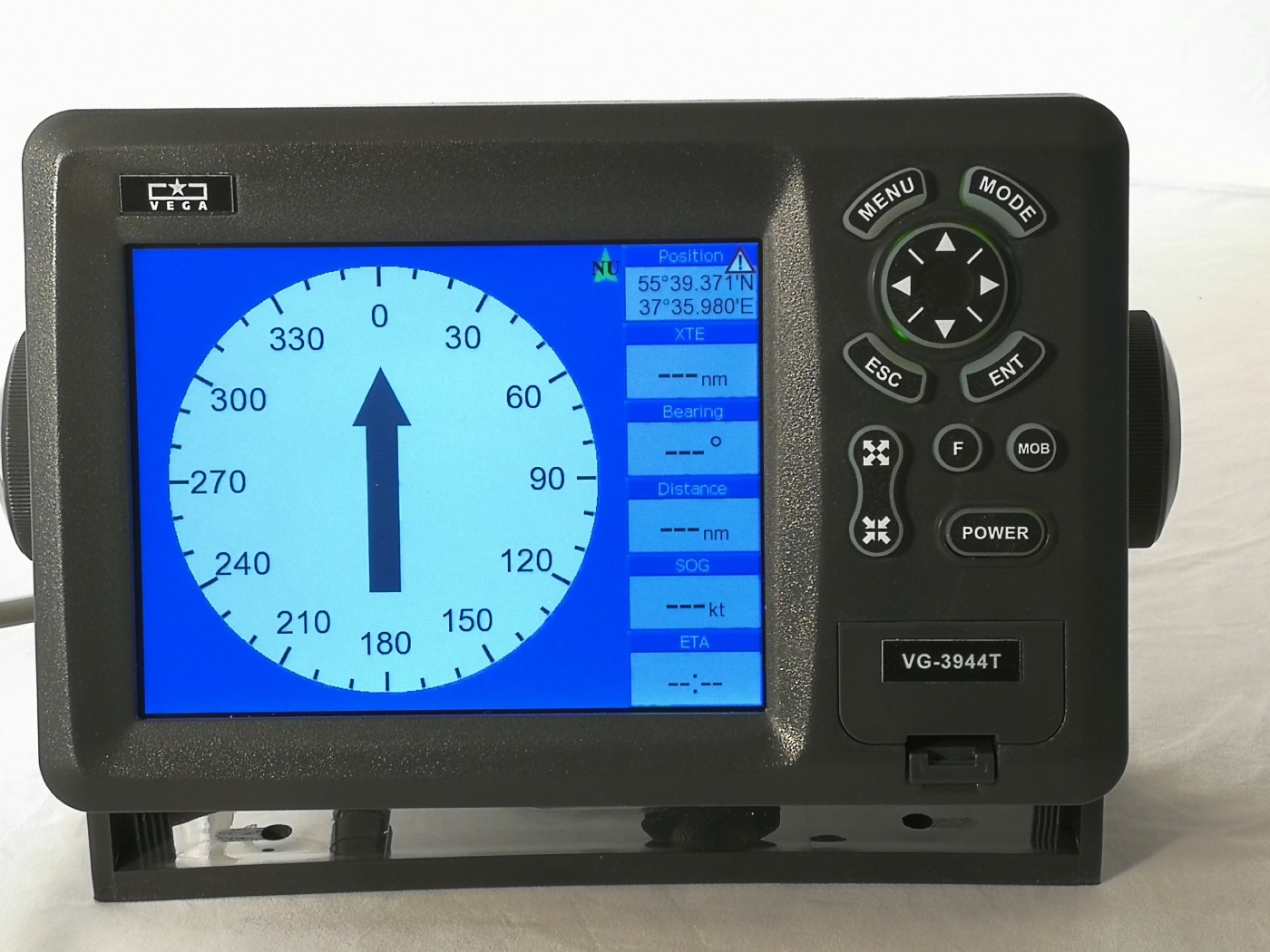
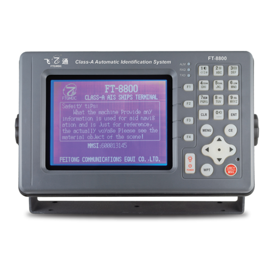
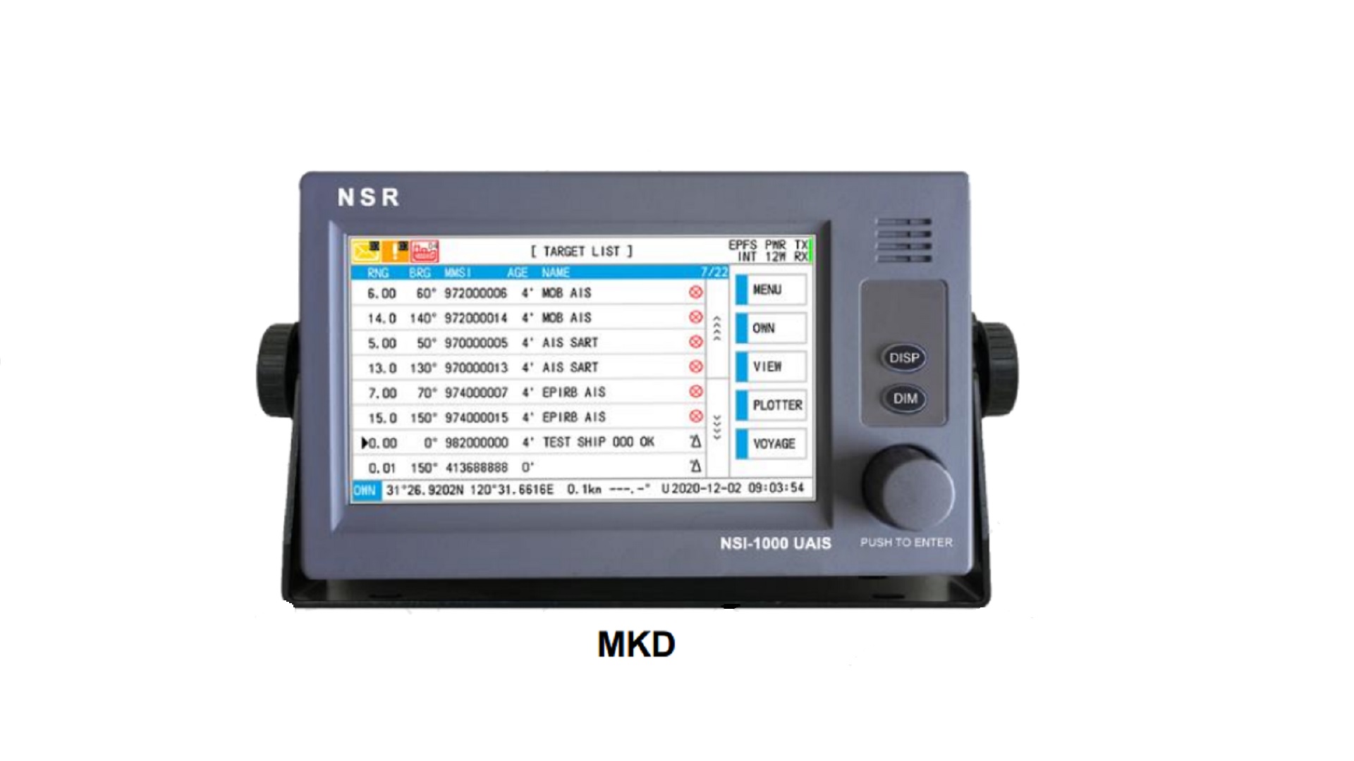
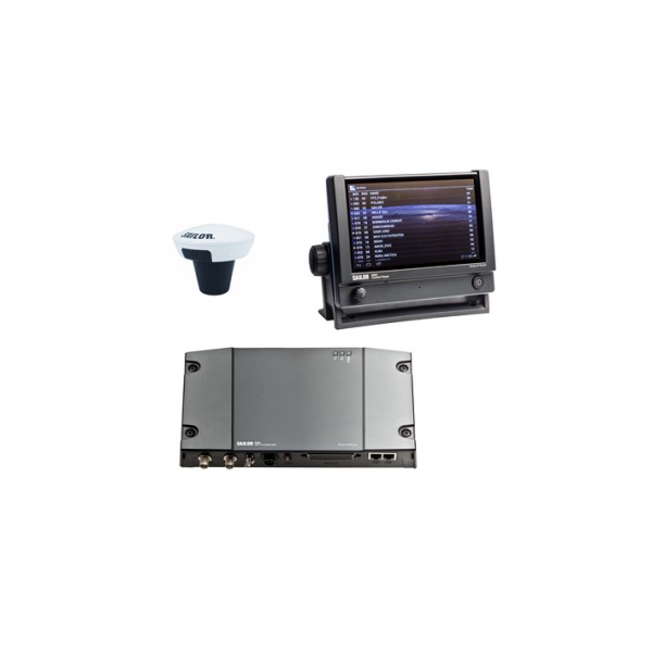
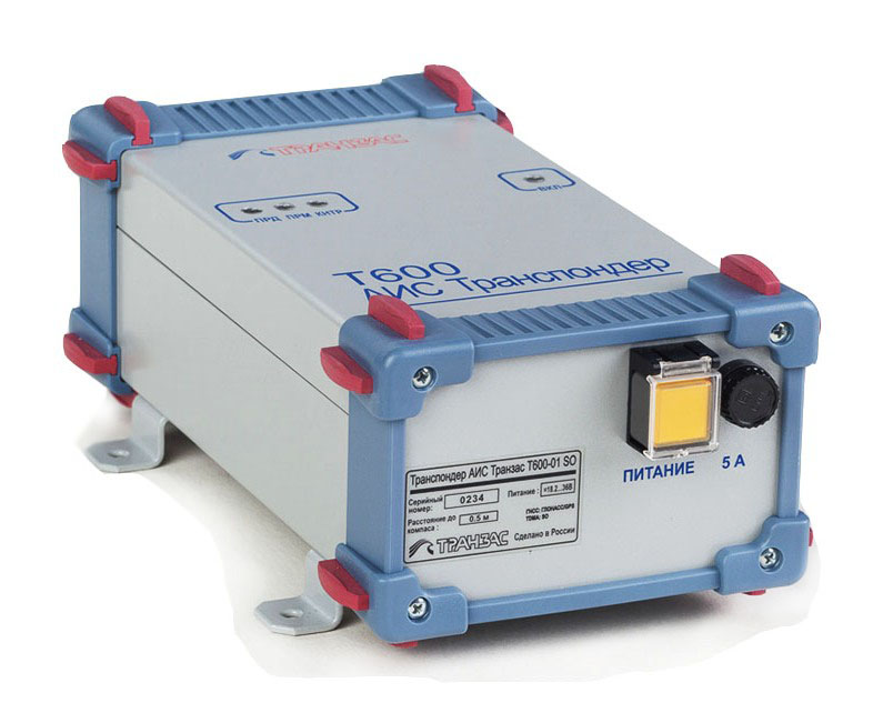
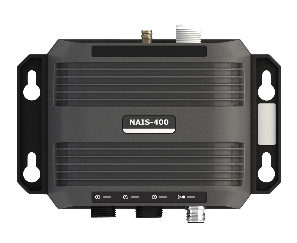
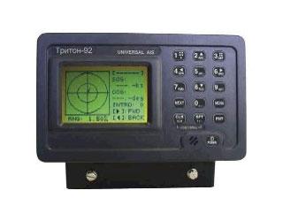
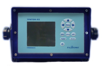
AISseries VEGA VG-3944 Class B are designed for operation as additional navigational equipment on sea vessels or as a means of monitoring ships and other floating objects, including as a technical means of control of fishing vessels not subject to the requirements of the SOLAS Convention in various regions of the World of the ocean. In the AIS "VEGA" a new exactTrax ™ technology is implemented, which allows to minimize the gaps of the positions transmitted by the operator of satellite monitoring of ship AIS signals.
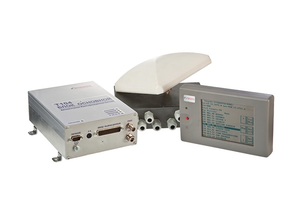
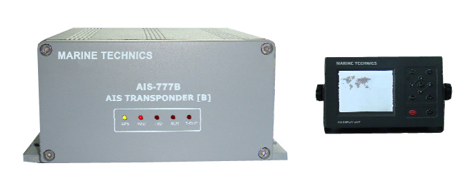
AIS VEGA VG-3944 can be supplied in two versions:
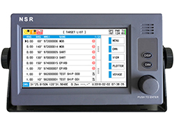
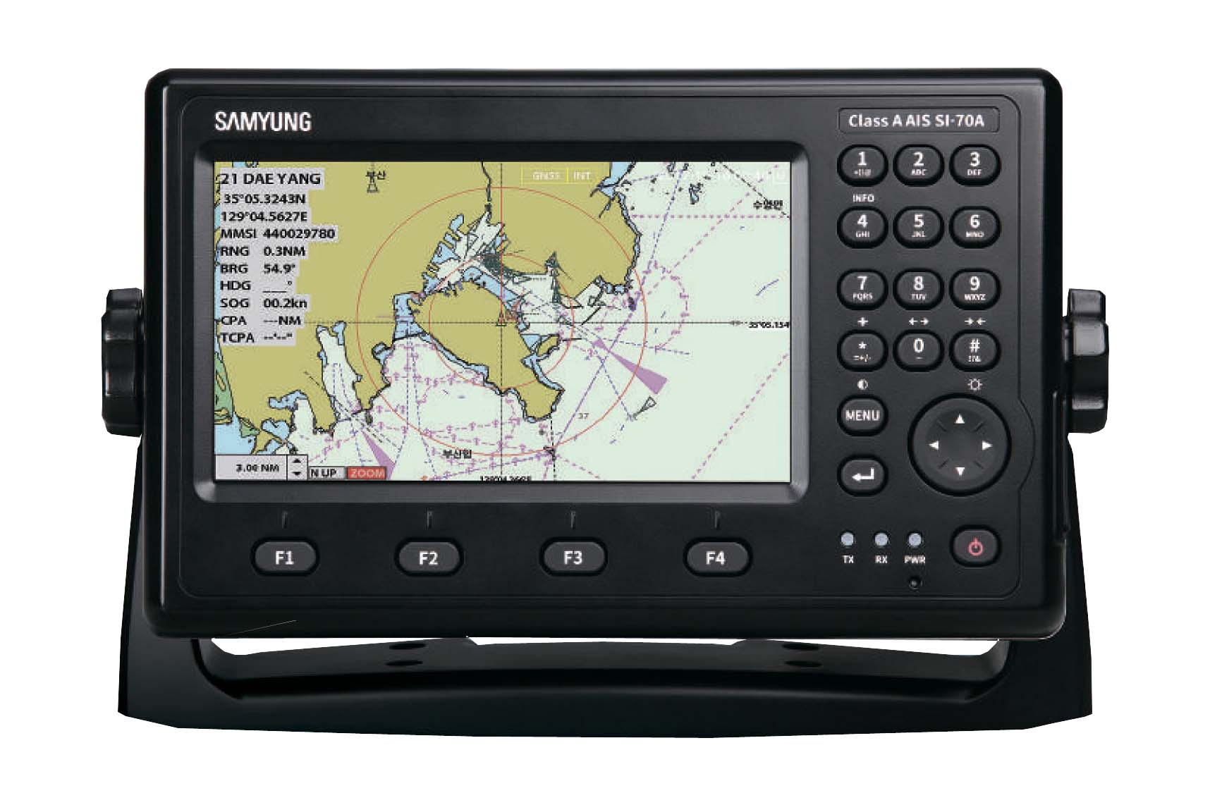
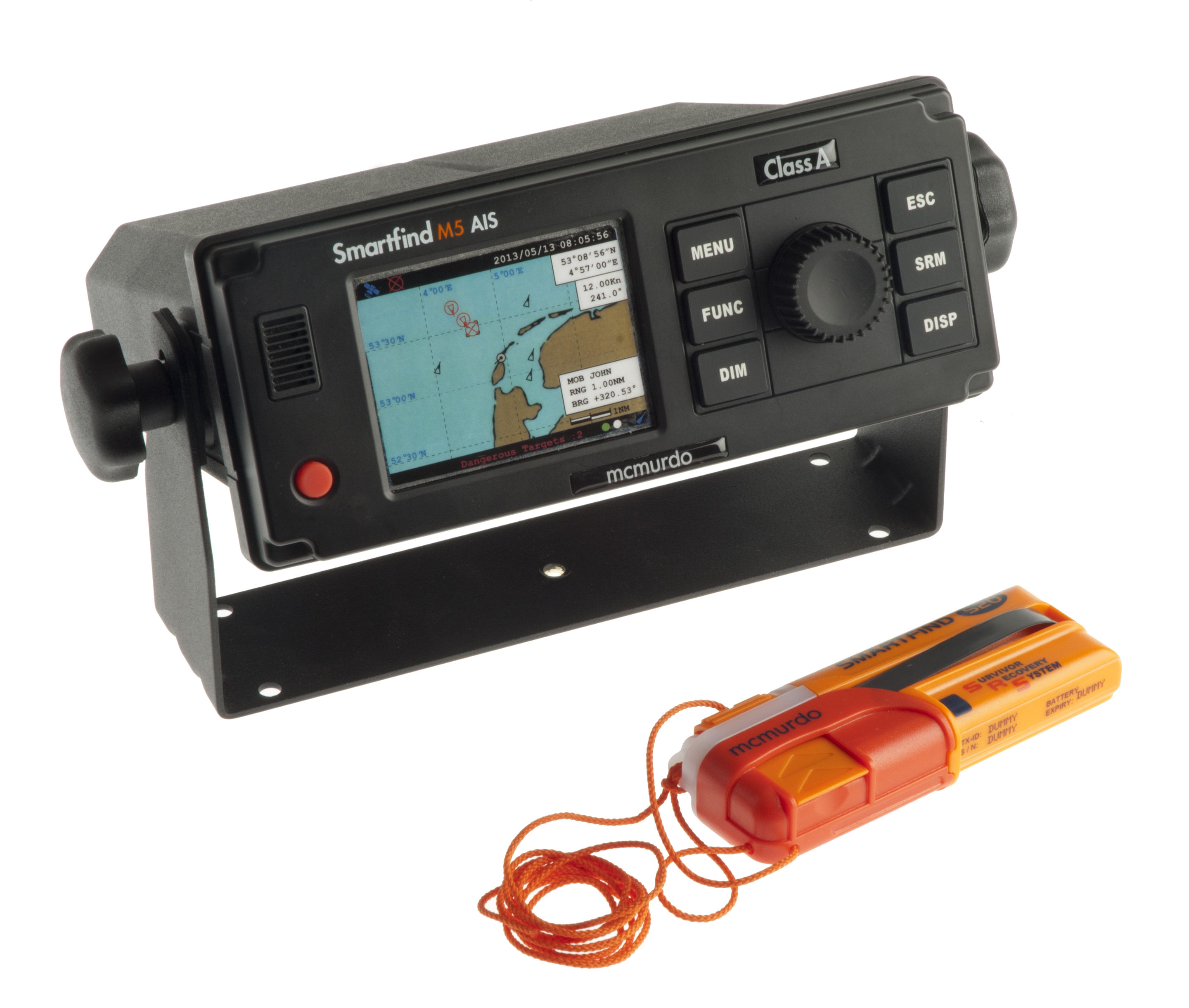
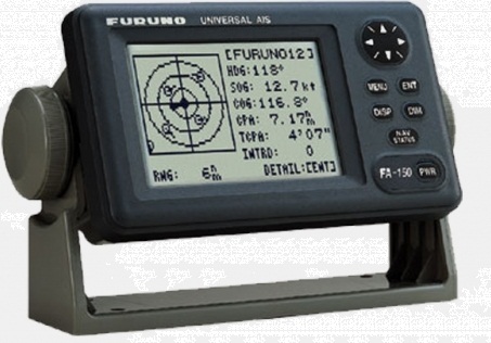
- with display (VG-3944T / VG-3944T-8 / VG-3944T-12)
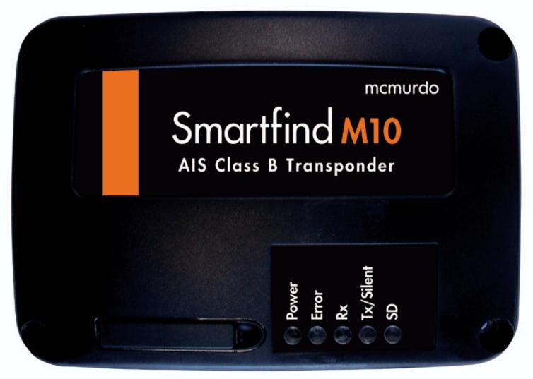
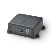
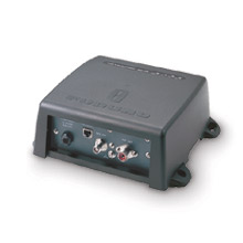
- without display (VG-3944BB)
VEGA VG-3944BB in the "black-box" configuration (without display) can provide and exchange information about the ship's coordinates; time; course relative to the ground; speed relative to the ground; bearing; status of the ship; circumferential / angular velocity of the turn; MMSI numbers (Identifier of the maritime mobile service); callsign and name of the vessel; dimensions (length and breadth) of the vessel; IMO room (subject to availability); type of vessel; the location of the GNSS antenna on board; draft of the ship; type of cargo; destination port and estimated arrival time
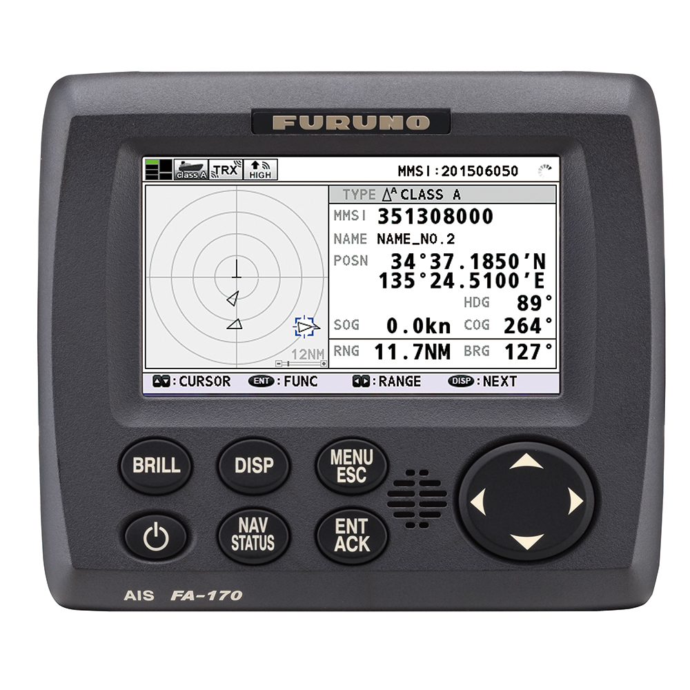
- VG-3944T / VG-3944T-8 / VG-3944T-12 (with display) have the function of a chart plotter
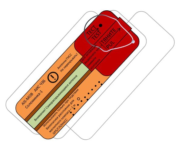
- The VG-3944T-12 can be optionally equipped with an alarm transmission button (SART-B) and a 9-36 V isolated power supply (PWR-INS)
- Have a certificate of approval of the type of AIS equipment issued by Rosmorrechflot and the Model Approval of the Russian Maritime Register of Shipping
Specifications:
|
|
VEGA VG-3944 BB |
VEGA VG-3944T |
VEGA VG-3944T8 |
VEGA VG-3944T12 |
|
main unit |
AIS-B «black-box» |
AIS-B display 5.6 inches, map-plotter, |
AIS-B 8 Inch Display, Chart Plotter, |
AIS-B 12-inch display, map-plotter |
|
display |
- |
5.6 " |
8'' |
12.1 " |
|
AGG-16 |
GPS + GLONASS antenna, 10 m cable |
GPS + GLONASS antenna |
||
|
AM-156 |
Antenna VHF 1.2m, 10m. cable |
|||
|
food |
9-36B |
|||
|
SD card slot |
- |
+ |
+ |
+ |
|
I / O data format |
NMEA-0183, I / O ports RS232 and / or RS422 |
|||
Analogues
 +7 (812) 4-673-673
