 +7 (812) 4-673-673
TIMEZERO versions of Navigator and Professional
Navigator and Professional TIMEZERO software modules
Professional activities at sea vary and depend to a great extent on whether you are a commercial or sport fisherman, run a working boat or participate in competitions. Of course, every person has requirements that are unique for each particular activity.
While the combination of safety and performance remains the cornerstone for every professional at sea, other requirements, such as a dedicated workspace, the compatibility and processing of your instrument data and the impact of specific weather changes, are vital to some and less to others.
 TIMEZERO Proffesional combines all the functions of the following MaxSea software products, which were available for order until 2016:
- MaxSea TZ ECS
- MaxSea TZ PLOT
- Nobeltec TZ CATCH
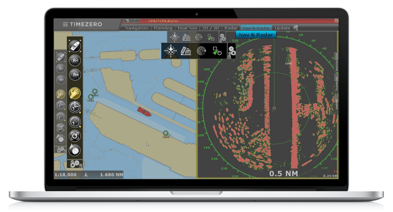
The TZ Professional user interface is intuitive and easy to use when it comes to managing all of your navigation data, as well as all other functions. Thus, data management from AIS, radar, cartography, weather stations and other installed sensors can be done from a laptop or tablet.
The latest software updates implemented the following innovations for commercial fishing and auxiliary fleet:
- The new PBG module will create even more crisp and realistic maps of the seabed. The permission was doubled. Contour lines of the bottom with different depths are now painted in different colors. Each color corresponds to a specific depth value.
- Compatible with cartography format S57 / S63.This maps are updated every week
- PC-Radar will provide compatibility with new transceivers radar produced by FURUNO: DRS4D-NXT, DRS-6XCLASS and DRS-4DL. The sensors can be connected directly, without the use of MFD-multifunctional displays of the NavNet system-the so-called "PC Radar"
- Replacing SQL with SQLite
- The new "Profile window" pop-up window links the map information to the depth. Display depth information in 2D format in the selected area on the map.
- New functionality for building routes
- Allows you to determine the depth of the seabed when building a ship route.
- Trajectories are highlighted in various colors. Red color - danger, green - sufficient depth. It is possible to provide information on the optimal time of departure and arrival, taking into account the data on tides and currents.
Working space for professional fishing
A working screen specially designed for professional fishing (requires an additional PBG module). If bathymetric data are not displayed, the depth lines are reflected in different colors, each color corresponds to its depth range.
New AIS features
Allows you to set the status for AIS class A from the TZ Professional menu. Now you can send and receive AIS messages using this software
The module "Voyage Data Recorder - DDR"
Allows you to store all information received from sensors connected and transmitting information to the TZ Professional software (AIS, GPS, etc.). This information will be very useful in investigating incidents at sea. This module must be ordered separately
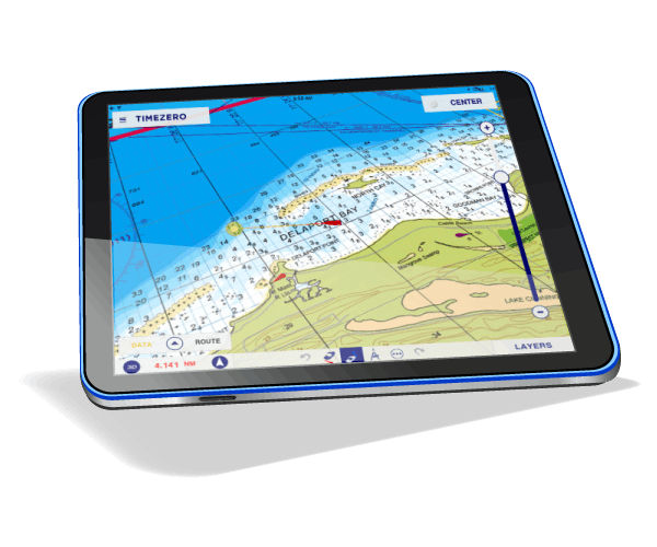 TZ NAVIGATOR - product for yachtsmen (For non-professional shipping).
The following functions are implemented in the TZ NAVIGATOR software:
- Routing and creating waypoints
- Tide database worldwide
- Weather forecast around the world
- AIS / SARP module
- Overlaying satellite images on your maps
- The software works in full 3D measurement
The TIMEZERO software package contains 1 MapMedia map for user selection (bitmap or vector, Wide or MegaWide format) + 3D data and satellite images of the selected area.