Charts Navtor
Charts Navtor
NAVTOR's e-Navigation Suite ensures an easy transition to digital navigation, and help shipowners, operators and navigators simplify the management, distribution & updating of navigational data.
Advantages of the system NAVTOR:- Financial benefit. Pay only for the charts you actually use during voyages
- Convenience. Distribution and updating of maps without using the DVD
- Data compression. Reducing the cost of satellite Internet in the sea due to optimal data compression on the courts.
- Technical benefits. The most reliable and complete database.
- Efficiency. 90% of customers confirmed that NAVTOR has simplified the processing of the ENC.
Option 1. NavBox
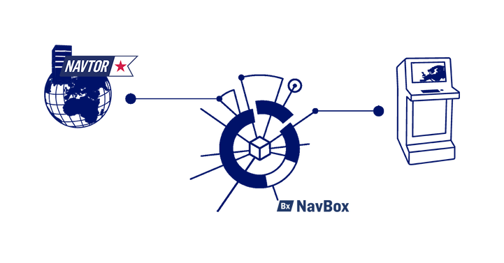
By integrating NavBox in the bridge networks, the vessel will automatically receive the latest updates of charts and publications and transmit very accurate vessel position and AIS data for nearby vessels. This saves time and ensures full compliance at all times.

Option 2. NavStick and NavSync
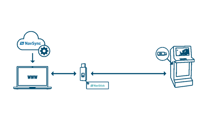
A more manual alternative to NavBox is to install NavSync on the bridge PC. The software allows navigators to seamlessly access, update and license charts and publications, and then transfer the data to the ECDIS with NavStick.

Software. NavTracker

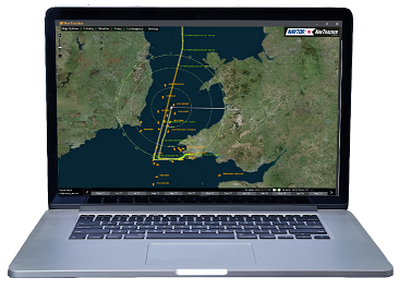
With regards to your portfolio of charts and publications, NavTracker helps you manage the operational area, and gives users a simple and user-friendly tool to add or remove charts as needed, and keep track of chart usage, costs and chart update history.
However, to fulfill the operational potential made possible by digital technology, we have supplemented the software with additional services that offers real benefits for both the crew on board and the management on shore.
As a result, NavTracker has become our most popular service. Features such as access to the latest versions of ENCs, automatic and instant generating of various reports, and a complete overview of up-to-the-minute tracking of vessels and fleet movements are only a few of the benefits the software has to offer. The software is available for PC, as well as app for tablet and mobile.
A tool for planning routes NavStation.

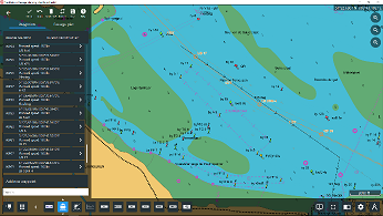
To simplify the passage planning process, NAVTOR has developed a digital planning station that integrates all digital navigational data for optimal on-screen presentation. Using official ENC as the base layers, users can add additional services such as Weather Overlay, NAVAREA Warnings, ADMIRALTY Publications (ATT, ADLL, ADRS, AENP) etc.
Users can exchange their routes with other vessels in the fleet, and with the ship managers on shore. An automatic Passage Planning module allows the navigator to effortlessly access and create required documentation while planning voyages.
You can purchase products NAVTOR, by calling +7(812)4673673 or by e-mail sales@cirspb.ru
 +7 (812) 4-673-673