 +7 (812) 4-673-673
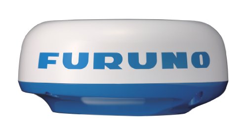
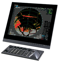
Furuno M-1623
-
Available for order
-
Certificate:РМРС
Furuno M-1623
To order
Call our sales manager
Documentation
Brochure 'M-1623'

THE RADAR HAS BEEN DISCONTINUED. We suggest considering a replacement Furuno M-1815
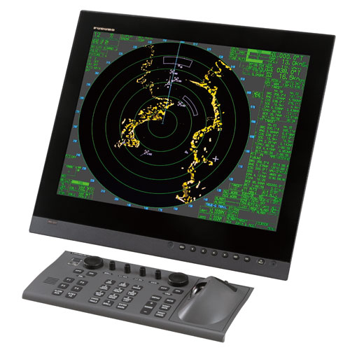
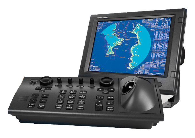
The Furuno M-1623 radar is a reliable and high—quality device designed for small vessels. It is equipped with a powerful 2.2kW transmitter, a waterproof 6-inch LCD display and offers a choice of 13 range scales. The display resolution is 240 x 320 pixels, and the power supply is 12-24 V, 36 Watts.
The station displays targets in four grayscale colors and has a three-speed closed antenna with a diameter of 15 inches with the function of increasing the rotation speed on the near scales for more accurate identification of objects. Three transmitter pulse lengths and repetition rates are also available, a linear receiver with a noise factor of 10 dB and automatic receiver tuning.
Additional functions include sector radiation damping, rain interference suppression, afterglow indication and negative display image. The station supports the connection of a GPS/WAAS receiver and can be integrated with navigation equipment such as plotters and echo sounders.
Main Features:
- Waterproof, bright 6-inch LCD display (monochrome)
- The ability to choose one of 13 range scales — from 1/8 to 16 nautical miles
- Ergonomic design and logically structured menu
- Display resolution: 240 x 320 pixels
- Displaying goals in four grayscale colors
- 2.2 kW transmitter
- New three-speed closed antenna (15 inches) with the function of increasing the rotation speed on the near scales for more accurate target recognition
- Three pulse lengths and repetition rates of the transmitter
- Linear receiver with a noise factor of 10 dB
- Automatic receiver setup
- Automatic or manual adjustment of interference suppression from the sea
- Automatic or manual adjustment of receiver gain
- Sector attenuation of radiation
- Suppression of rain interference
- Indication of afterglow (traces of targets)
- Negative display image (targets/icons are highlighted in white on a black background)
- Full-screen display of navigation data in standby mode
- Efficient and fast cursor and menu control with Omni Pad
- An image with a center offset
- Electronic bearing and variable range mark
- Displaying target tracks/echoes at a set interval
- Marking waypoints on the screen for easier navigation
- Configurable alarm of the security zone (entry and exit targets)
- Output of TLL data (coordinates of the target) to work with the plotter (the plotter must support the TLL format)
- Setting the time zone
- Programmable keys for quick access to the command menu
- Possibility of customizing the navigation data screen
- Connecting a BBWGPS GPS/WAAS receiver
Other category products
-
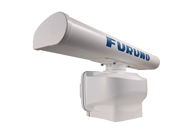
Furuno DRS4A
-
Furuno DRS2D
-
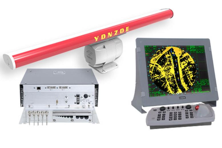
Yonzoe YAR27
-
VisionMaster SeaGuard
-
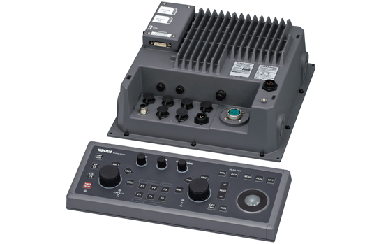
MDC-7012P
-
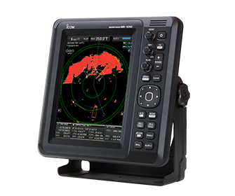
2 ft / 4 kW ICOM MR-1010RII
-
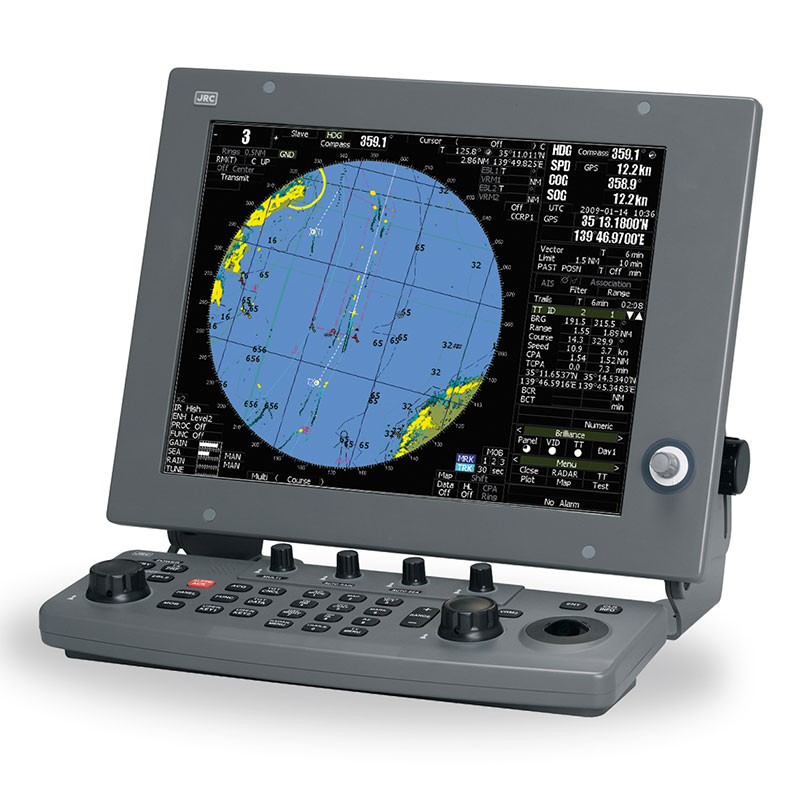
JRC JMA-5332-12BB
-

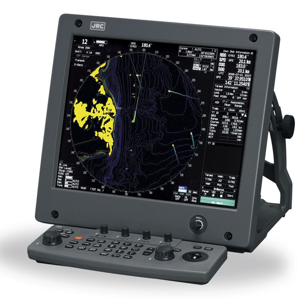
JRC JMA-5322-7BB
-
JRC JMA-5222-7/9
-
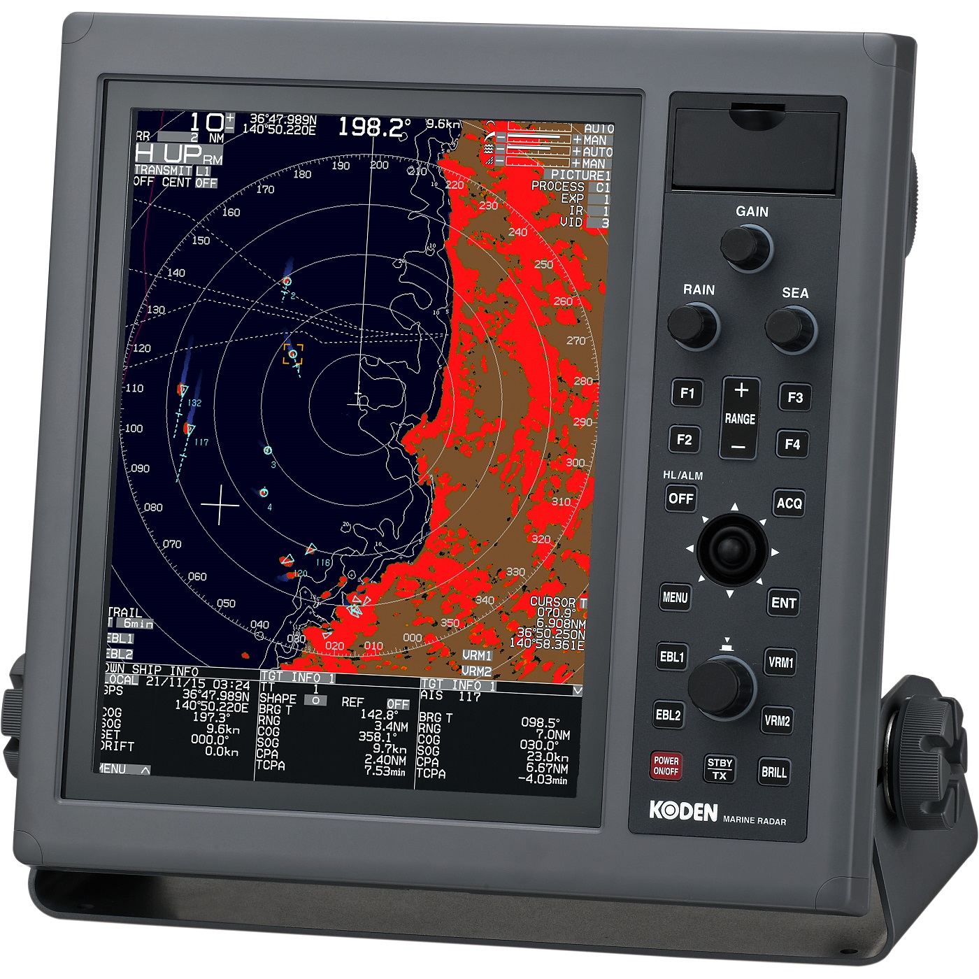
Koden MDC-5204
-
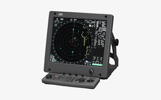
Radar JRC JMA-5200Mk2
-
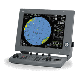
JRC JMA-5300Mk2
-
Furuno FAR-3xx0
-
Furuno FAR-23x8
-
Furuno FAR-22x8
-

Simrad HALO24
-
Furuno NavNet vx2
-
Furuno FAR-2137-BB
-
Furuno FAR-2127-BB
-
Furuno FAR-2117-BB