 +7 (812) 4-673-673
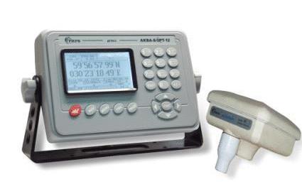
FARVATER RK-2006

Fairway RK-2006 is a GLONASS/GPS/DGPS ship receiver designed for round-the-clock determination of the navigation parameters of a ship's movement under any weather conditions. Suitable for use on sea and river vessels (speed should not exceed 125 km/h), has a user-friendly interface. The device is equipped with a liquid crystal display, which displays information about the location of the vessel and the trajectory of its movement.
Fairway RK-2006 calculates the following information: ship's coordinates in the selected coordinate system, height above zero sea level, exact time and date, ship's absolute speed, track angles. These parameters are displayed in several forms, which are switched by simply turning the selector knob and provide maximum information and convenience.
The ship's receiver indicator FARVATER RK-2006 is equipped with a mode that ensures the movement of the vessel along a given route and allows you to set up to 600 waypoints. In this mode, the following navigation parameters are displayed: bearing to a given point, deviation from a given direction, vessel entering or leaving a waypoint area. FARVATER RK-2106 also has a built-in MOV (man overboard) function, when pressed, the device remembers its current position and switches to the navigation screen, which displays the place where the button was pressed.
The FARVATER RK-2106 receiver complies with all international and national requirements for equipment for this purpose, and has a certificate of approval from the Russian Maritime Register of Shipping.
Specifications:
-
Frequency range: GLONASS: 1595 - 1610 MHz
GPS: 1575.42 MHz
-
PCR: 283.5 – 325.0 kHz (via 500 kHz)
-
Reception code : GLONASS: ST (L1)
GPS: C/A (L1)
-
Number of GNSS channels: 24 (universal GLONASS/GPS/SBAS)
-
Number of PKI channels: 2 (parallel tracking)
-
Data update rate: 1s
-
GNSS cold start: 90 s
-
PKI cold start: 60 s (typical)
-
Warm start GNSS: 50 s
-
Hot start GNSS: 10s
-
PKI hot start: 2 s (typical)
-
Continuous work time: unlimited
-
Maximum travel speed: no more than 500 m/s
-
Acceleration: no more than 5 g.
-
Supply voltage: 220 VAC (primary), 24 VDC (backup)
-
Position accuracy: GPS/GLONASS : 9 m (typical value 5 m)
GNSS + SBAS: 3 m
DGPS/DGLONASS: 2 m
-
Height Accuracy: GPS/GLONASS: 12m (Typical)
GNSS + SBAS: 5
DGPS/DGLONASS : 3 m
-
Timing accuracy: 100 ns
-
Velocity Accuracy: 0.05 m/s
-
Overall dimensions, no more than: main unit: 310×224×78 mm
indicator: 197×138×12mm
GNSS antennas: Ø164, height 127 mm
DGNSS antennas: Ø 164, height 127 mm
-
Weight: main unit:3 kg
indicator: 900 g
GNSS antennas:450g
DGNSS antennas:55g
-
Operating temperature range: main unit: -15°C ... +55°C
indicator: -15°С … +55°С
antenna: -40°С … +65°С
-
Relative Humidity: 95%
-
Baud rate: 4800 baud
-
Offer types: (the set is set in the indicator) DTM, GGA , GLL, GNS , GSA , GSV , RMC , VTG , ZDA , GBS .
-
Input format diff. amendments: RTCM SC-104 (ver.2.2)
-
RTCM Baud Rate: 50, 100, 500 bps
-
PKI operating modes: automatic or manual (set in the indicator settings menu)
-
GNSS Antenna Impedance: 50 Ohm
-
PKI Antenna Impedance: 50 Ohm
-
GNSS supply voltage: 3.5 ... 5.0 V
-
PKI supply voltage: 4.0 … 5.0 V (50 mA)
-
Indicator characteristics: Screen type: backlit LCD
-
Screen resolution: 128 x 100 dots
-
Language interface: Russian, English
Other category products
-

GNSS Receiver FT-3500R
-
Simrad GPS P2005 / P3007
-
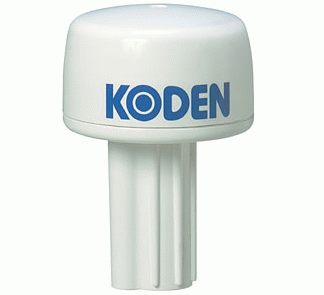
Koden KGP-915
-
JRC JLR-7700MKII (DGPS)
-
JRC JLR-7500 / JLR-7800
-
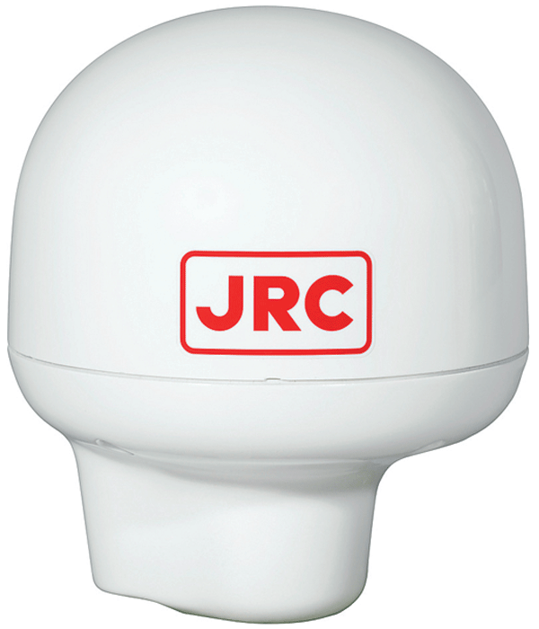
JRC JLR-4341 (DGPS 224)
-
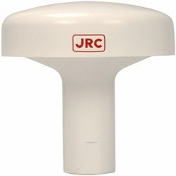
JRC JLR-4340 (GPS 124)
-
SAILOR 6570 DGNSS
-
AQUA BOARD 12
-
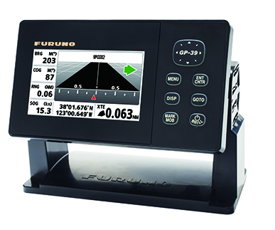
Furuno GP-39
-
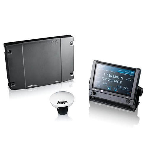
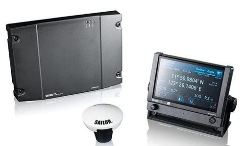
Navigation SAILOR 6560/6561 GNSS System
-
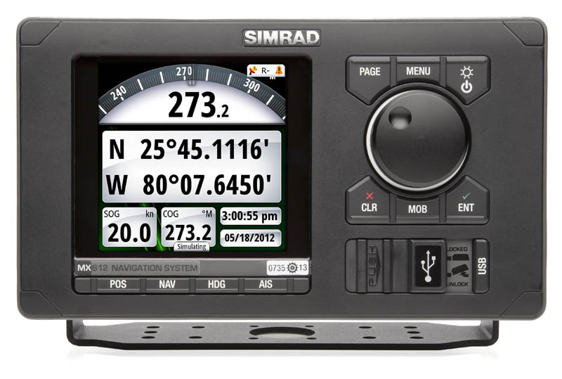
MX61O / MX612 / GN70
-
Furuno GP-170
-
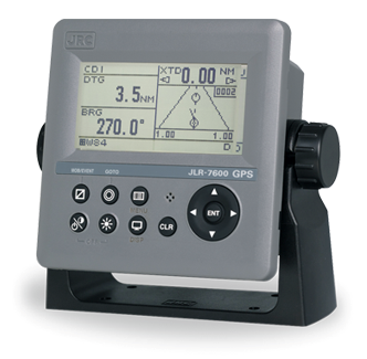
JRC JLR-7600 / JLR-7900
-
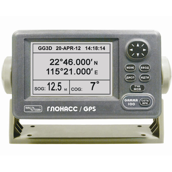
Navcom Gamma-100
-
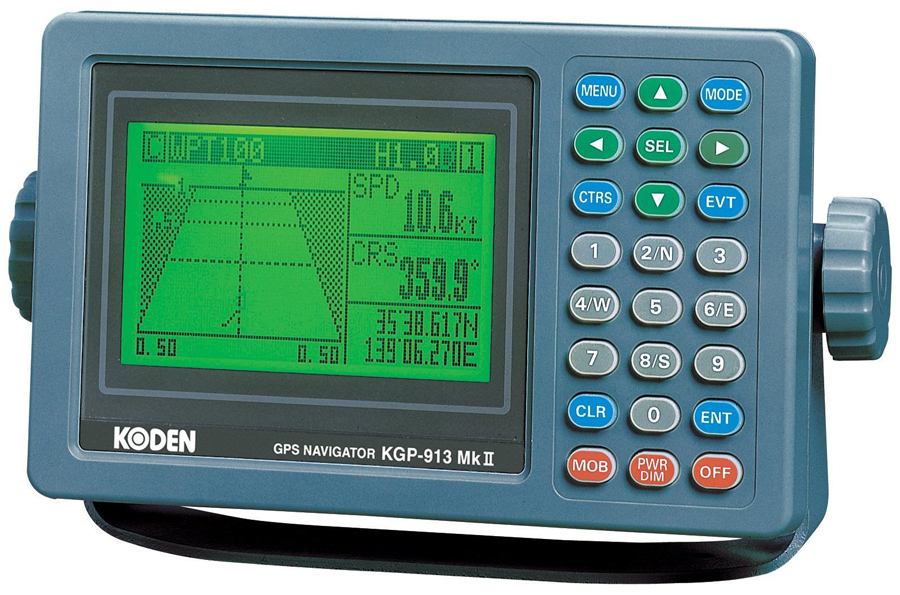
Koden KGP-925
-
Koden KBG-3
-
Koden GPS-20A
-
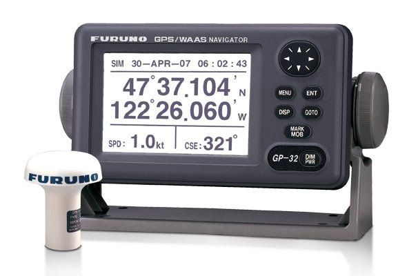
Furuno GP-32
-
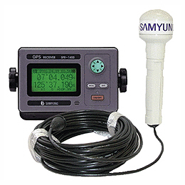
Samyung SPR-1400