+7 (812) 4-673-673
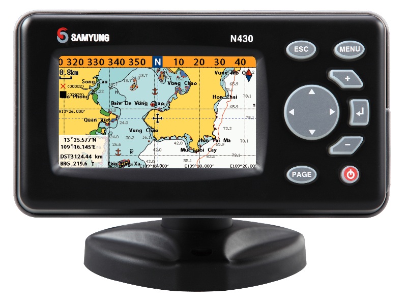
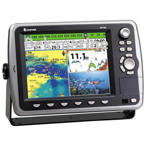
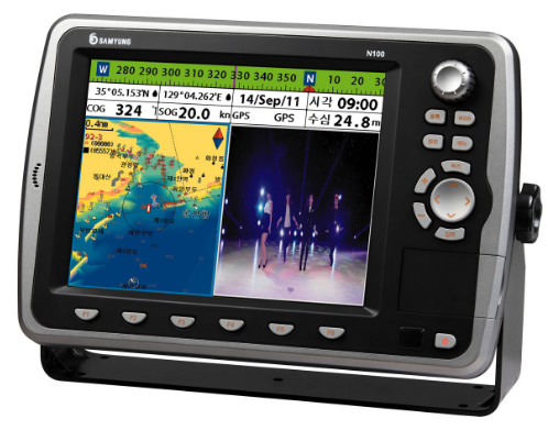
Samyung N-700

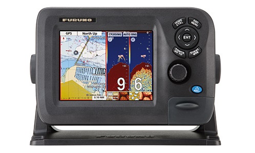
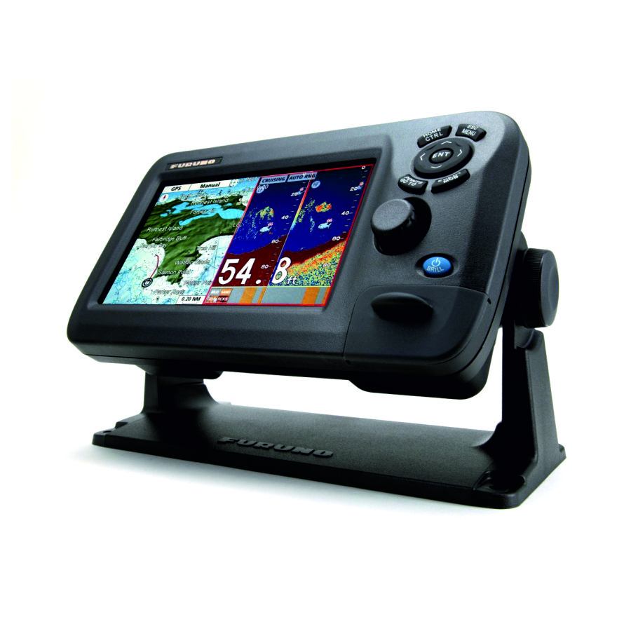
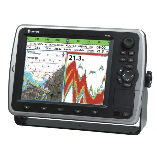
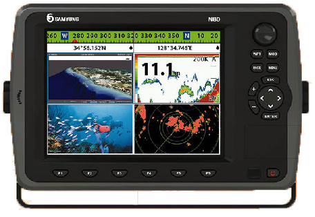
The Samyung N-700 marine navigation device is an innovative device equipped with advanced technologies for navigation on various types of vessels - marine, river, recreational and fishing. This device is equipped with an accurate GPS and supports the use of electronic C-Map maps, which makes it an indispensable tool for seafarers and lovers of outdoor activities on the water.
The features that make Samyung N-700 unique:
Convenient large color screen with multi-level backlight
Integration with the ship network via NMEA 0183 and NMEA 2000 standards
The ability to transfer data to other navigation devices
Interface for displaying information from AIS and Navtex, providing additional control and safety capabilities on the water
The technical characteristics of this device are also impressive:
Low power consumption: 350mA to 480mA @13.82V
Wide supply voltage range: 10-34 V
Optimal screen: 7’ color TFT with a high resolution of 480 x 800 pixels
Resistance to extreme temperatures and humidity
Waterproof housing that provides protection from splashes and moisture
Large amount of memory for storing user points and routes
The Samyung N-700 is a reliable assistant for everyone who values comfort, safety and efficiency while swimming.
Other category products