+7 (812) 4-673-673
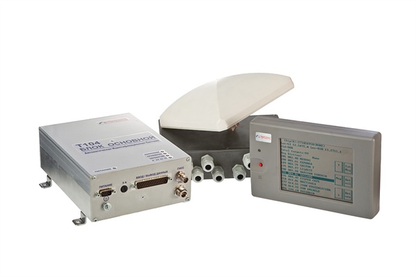
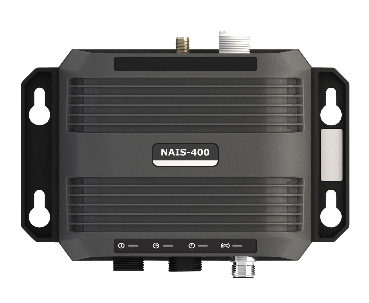
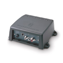
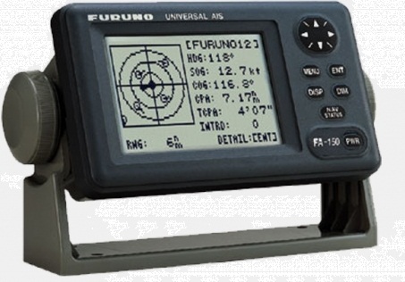
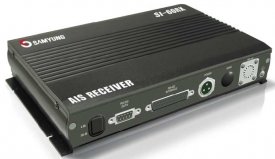
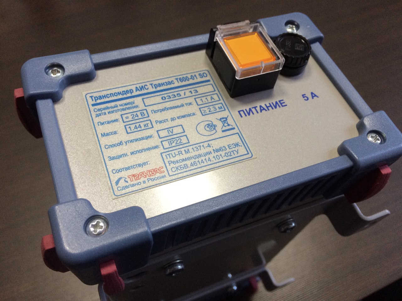
Transas AIS T-600
Transas AIS T-600
To order
Call our sales manager
Documentation
Сертификатт 'Транзас АИС Т-600'

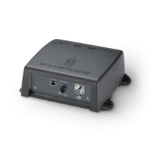
Multifunctional Automatic Identification System (AIS) Class B Transas T-600 has all the necessary functions for input, transmission, reception and display of static, dynamic, voyage information and communications relating to the safety of navigation. The system has a certificate of approval of the Russian River and Russian Maritime Register.
System T-600 is receiving and accounting for DGPS correction information and DGLONASS in accordance with the recommendations of RTCM SC-104 V.2.3, as well as by radio reception AIS navigation (position, course, speed, rate of turn, and so on. D.), Routing (your destination, estimated time of arrival, type of cargo) and static (name and call sign of the vessel, the size and draft of the vessel, the position of the antenna, Vendor ID) information.
It should be noted that the AIS Transas T-600 does not have a display, you can connect it to the ECDIS, ECS, ECDIS. When connected to the ship's personal computer data is displayed on the monitor. To do this, set the program AISLight, it defines a class of devices as Class B.
AISLight provides an opportunity to set parameters such as: 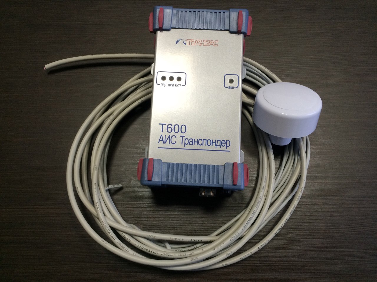
- the number and speed of the serial port that connects to the AIS
- control bits and stop bits
and also implements the following functions:
- Viewing dynamic data sent on the air
- Entering static and river data
- View a list of alarms and their acknowledgment, as well as a list of AIS targets
- Creating and sending text messages and river
- Receiving text messages and river
Specifications:
-
Frequency Bands: 156.0125-158.0125; 160.6125-162.0375 MHz
- Step frequency: 25 kHz
- Modulation and transmission speed: GMSK; 9600; DSC: FM / FSK, 1200 bit / s
- Sensitivity: -110 dBm
- The radiation power radio transmitter 5 (optional - 12) W
- Power supply: 18-36 (option: 10.5-18) In
- Current consumption at 12 V: 0.65 - 2.50 in the receive mode A - transfer mode
- Operating temperature: -15 ° C ... + 55 ° C
- Storage temperature: -20 ° C ... + 70 ° C
- Degree of protection IP42 (GOST 14254-96)
- Receiver GLONASS / GPS (ext. Option: GALILEO)
- Coordinate system WGS -84
- The update coordinates every 1 second
- Dimensions: 84 mm x 124 mm x 236 mm
-
Produces automatic identification of ships (ship number IMO, MMSI, call sign and name)
-
It accepts and takes into account the DGPS correction information and DGLONASS in accordance with the recommendations of RTCM SC-104 V.2.3
-
Specifies the position of the vessel due to its own built-in receiver GLONASS / GPS
-
It provides information about the state issuing the AIS at the controls and display
-
It receives and processes information related to the water level, status signals and other navigational information
-
It receives and transmits messages concerning safety of navigation and text messages in the presence of (ECS, MKD)
-
Includes backup navigation data generation means vessel
Other category products