 +7 (812) 4-673-673
NE-610
-
Available for order
-
Certificate:РМРС
NE-610
To order
Call our sales manager
Documentation
Certificates RMRS Сертификат РМРС Эхолот НЭ-610

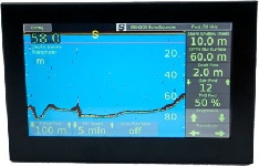
NE-610 is a navigation dual-frequency echo sounder developed by CJSC Industrial Computer Technologies. NE-610 is designed to measure the depths and image acquisition of echoes, which are displayed in seven colors, depending on the level of the signal.
The NE-610 is equipped with a color 10.4-inch LCD display and a convenient functional keyboard. The NE-610 has a three-stage noise reduction system, which eliminates interference from other devices. Data is transmitted in NMEA-0183 format via RS-232C and RS-422 connectors. Navigational echo sounder NE-610 can be mounted on open bridges. NE-610 is approved by the Russian Maritime Register of Shipping (RMRS) and meets the requirements of the IMO resolution.
Specifications:
- Screen Color display on liquid crystals with anti-reflective coating, 640x480 pixels; 10.4 inches diagonally, 10-step brightness adjustment.
- Power 110 - 220 volts AC single-phase or 11-40 volts DC. Both types of power supply are standard for this echo sounder.
- Operating ranges 5; 10; 20; 40; 100; 200; 400; 1000 meters.
- Antenna radiation power ~ 1000 W (RMS) 8 kW peak.
- Operating frequencies of the echo sounder are 50 and 200 kHz (two ceramic antennas in one housing)
- Minimum detectable depth At operating frequency 50 kHz - 1 meter
- At a working frequency of 200 kHz - 0.5 meters.
- Accuracy of measuring the depth On the working range up to 20 meters - +/- 0.1 meters.
- On the working range up to 200 meters - +/- 0.5 meters.
- On the working range, more than 200-t meters - +/- 2.5% of the digital depth value.
- The noise reduction function is controlled by 3 steps - low level, medium level and high level of noise reduction
- Overall dimensions 386 (H) X 310 (W) X 136 (H) mm
- Weight with mounting bracket 8.5 kg
Other category products
-
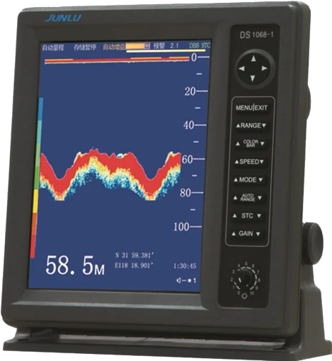
Navigation echo sounder Junlu DS1068-1R
-
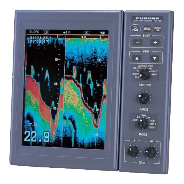
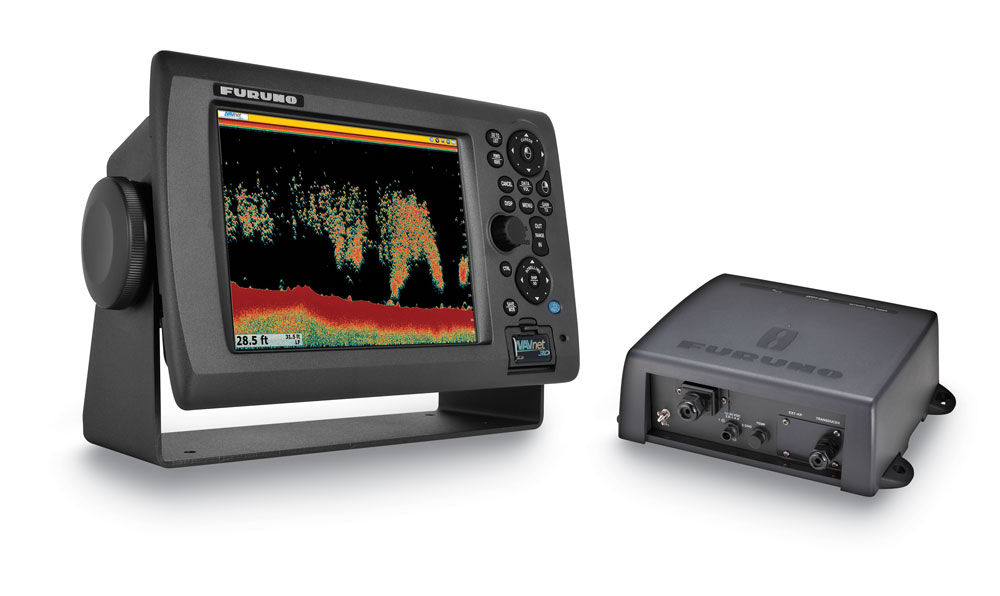
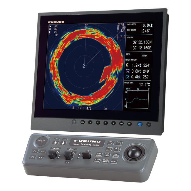
Furuno FCV-1200L
-
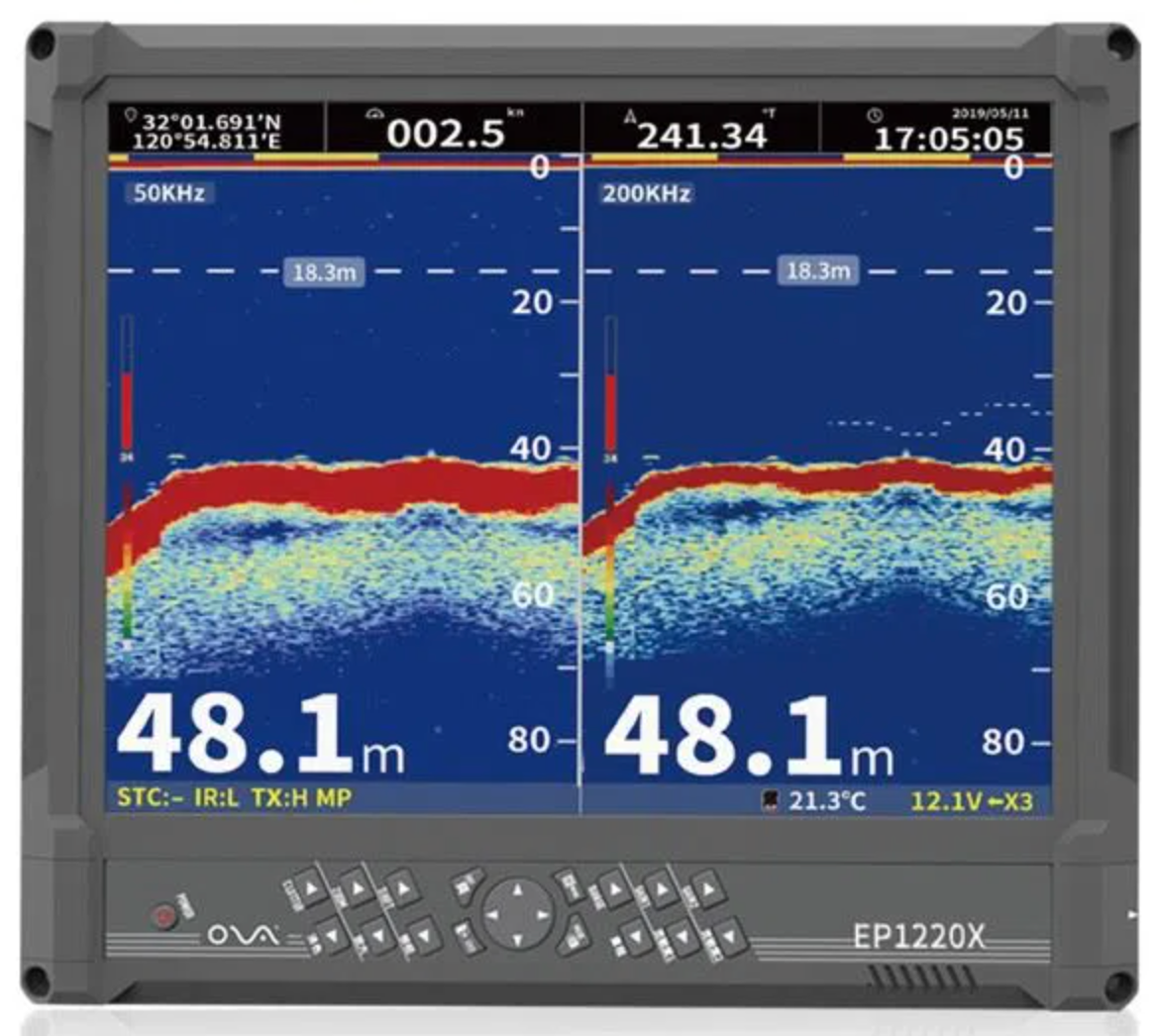
Marinelite EP series
-
CVS-1410B
-
CVS-1410HS
-
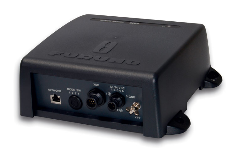
Furuno DFF1-UHD
-
Transducer Selector TS-104
-
SKIPPER ESN200
-
Echosounder SKIPPER ESN100
-
Furuno CSH-8L MARK-2
-
Furuno CSH-5L MARK-2
-
Network echo sounder DFF3
-
Network Echo Sounder DFF1
-
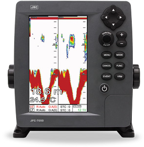
JFC-7050
-
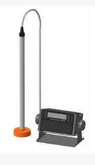
PEL-100
-
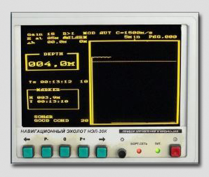
NEL-20K
-
Furuno FCV-588
-
МТDS-2028
-

MTDS-2008
-
CVS-FX2BB