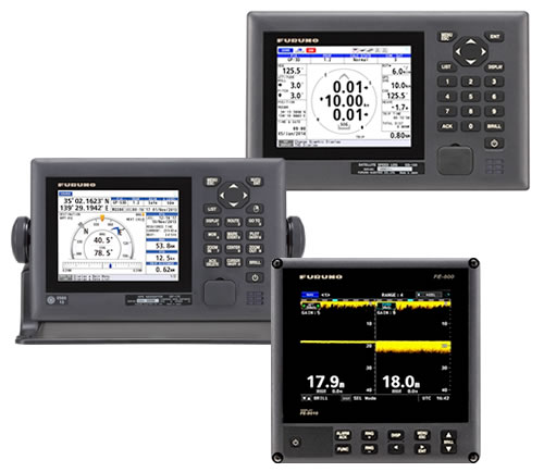
Furuno GP-170
Certificate:
-
RMRS
Available for order
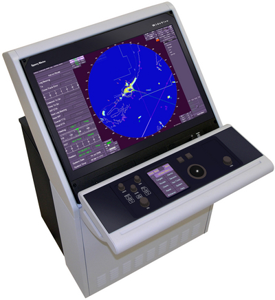
Radio Global Navigation Satellite System GNSS (DGPS) Furuno GP-170 is used in marine applications as a sensor of vessel position data on the radar, AIS, ECDIS, sonar and other communications equipment and navigation. On a color liquid crystal display high-resolution displays all received navigation data as if you were using MFDili chart. Store in memory 1000 waypoints, 100 routes (99 created 1 input from external equipment), 1000, and 2000 marks the trajectories.
High accuracy of the coordinates makes it possible to connect to the GP-170 (internal or external) signal receiver amendments beacons DGPS.Tak same device has a USB port for connecting an external flash drive and an Ethernet jack to connect to the LAN.
Functional features Furuno GP-170:
- Warning: the arrival / drift anchor, lateral displacement, with the track (XTE), the ship's speed, distance traveled
- Warning: 'Caution', 'Warning'
- The registration function coordinates a man overboard when you activate it with the constant updating of the distance and bearing on proceeding to a point with given coordinates
- Unique display mode 'Magistral' with a graphical representation of the vessel to the waypoint
- User-programmable display navigation data in a digital format
- The possibility of combining the two receiver-differential GPS subsystem
Specifications:
- Power supply: 12-24 VDC, 0.4 A 0.8-
- Frequency range: 1575.42 MHz, 283.5 - 320.0 kHz (DGPS)
- Number of Channels: 12
- Readability calculation updates the coordinates: 1 seconds (standard 0.1 sec (minimum)
 20.09.2016
New standards for ECDIS system.
Since the initial standards for ECDIS (ECDIS) systems were published in 1998, a number of shortcomings and problems related to the implementation of these standards have arisen.
 +7 (812) 4-673-673

